1900s (20th Century) Maps of Sabine Parish, Louisiana
Explore 79 historic maps of Sabine Parish from the 1900s (20th Century). These maps offer a rare glimpse into what life looked like during the 1900s — showing old roads, neighborhoods, homes, and landmarks that have changed or disappeared over time.
Whether you're researching your family's past, planning a metal detecting trip, or studying how Sabine Parish's landscape evolved across the 1900s, these high-resolution maps are a powerful tool for exploring the history of this region.
- Focus on a specific era: All maps on this page are from the 1900s, giving you a focused view of this time period.
- See what’s changed: Compare century-old streets, trails, and buildings to today's modern landscape using overlays and satellite layers.
- Research with precision: Use these maps for genealogy, historical research, land use analysis, or educational projects.
- View, download, or print: Maps are fully viewable online in high resolution, and can be downloaded or printed for your own records.
Start exploring Sabine Parish's history through authentic maps from the 1900s. This is your window into the past.
Sabine Parish, LA maps
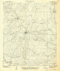
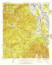
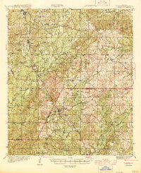
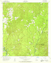
(79)- 1937 Map of Bellwood
 1937 Bellwood1937 Print · USGSCovers Sabine Parish, including Bellwood, Natchitoches Parish, and other nearby areas
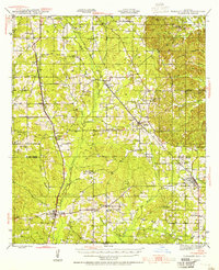
 - 1938 Map of Hollis Creek
 1938 Hollis Creek1938 Print · USGSCovers Sabine Parish, including Dobs Crossing, Natchitoches Parish, and other nearby areas
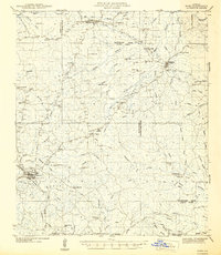
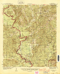
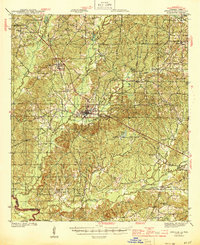
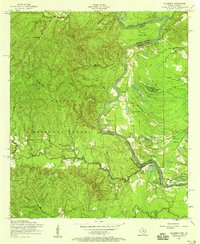
 - 1941 Map of Zwolle
 1941 Zwolle1941 Print · USGSCovers Sabine Parish, including Many, Zwolle, and other nearby areas
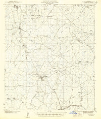
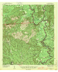
 - 1941 Map of Pelican, 1942 Print
 1941 Pelican1942 Print · USGSCovers Sabine Parish, including Pleasant Hill, Converse, and other nearby areas
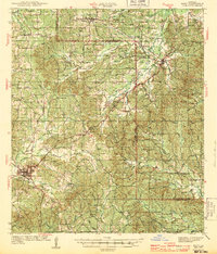
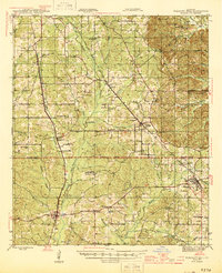
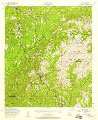
 - 1942 Map of Many
 1942 Many1942 Print · USGSCovers Sabine Parish, including Many, Fisher, and other nearby areas2 unique versions available
 - 1942 Map of Florien
 1942 Florien1942 Print · USGSCovers Sabine Parish, including Anacoco, Florien, and other nearby areas
 - 1942 Map of Kisatchie
 1942 Kisatchie1942 Print · USGSCovers Sabine Parish, including Simpson, Mink, and other nearby areas
 - 1943 Map of Many
 1943 Many1943 Print · USGSCovers Sabine Parish, including Many, Fisher, and other nearby areas
 - 1943 Map of Kisatchie
 1943 Kisatchie1943 Print · USGSCovers Sabine Parish, including Simpson, Mink, and other nearby areas
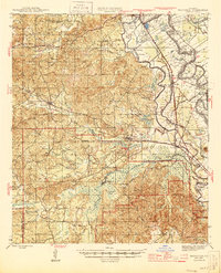
 - 1943 Map of Provencal, 1954 Print
 1943 Provencal1954 Print · USGSCovers Sabine Parish, including Natchitoches, Natchez, and other nearby areas
 - 1943 Map of Pleasant Hill, 1955 Print
 1943 Pleasant Hill1955 Print · USGSCovers Sabine Parish, including Pleasant Hill, Converse, and other nearby areas
 - 1944 Map of Negreet
 1944 Negreet1944 Print · USGSCovers Sabine Parish, including Sabinetown, Toro, and other nearby areas
 - 1944 Map of Logansport
 1944 Logansport1944 Print · USGSCovers Sabine Parish, including Logansport, Huxley, and other nearby areas
 - 1944 Map of Wiergate
 1944 Wiergate1944 Print · USGSCovers Sabine Parish, including Haddens, Hickory Ridge, and other nearby areas2 unique versions available
 - 1944 Map of Patroon
 1944 Patroon1944 Print · USGSCovers Sabine Parish, including Huxley, Dreka, and other nearby areas2 unique versions available
 - 1944 Map of Florien
 1944 Florien1944 Print · USGSCovers Sabine Parish, including Anacoco, Florien, and other nearby areas
 - 1944 Map of Zwolle
 1944 Zwolle1944 Print · USGSCovers Sabine Parish, including Many, Zwolle, and other nearby areas2 unique versions available
 - 1944 Map of Pleasant Hill
 1944 Pleasant Hill1944 Print · USGSCovers Sabine Parish, including Pleasant Hill, Converse, and other nearby areas
 - 1945 Map of Provencal
 1945 Provencal1945 Print · USGSCovers Sabine Parish, including Natchitoches, Natchez, and other nearby areas
 - 1947 Map of Hanna
 1947 Hanna1947 Print · USGSCovers Sabine Parish, including Wallace, Allen, and other nearby areas
 - 1948 Map of Wiergate, 1954 Print
 1948 Wiergate1954 Print · USGSCovers Sabine Parish, including Haddens, Hickory Ridge, and other nearby areas
 - 1953 Map of Alexandria, 1963 Print
 1953 Alexandria1963 Print · USGSCovers Sabine Parish, including Alexandria, Natchitoches, and other nearby areas3 unique versions available
 - 1954 Map of Toro, 1958 Print
 1954 Toro1958 Print · USGSCovers Sabine Parish, including Toro, Rattan, and other nearby areas3 unique versions available
 - 1954 Map of Columbus, 1958 Print
 1954 Columbus1958 Print · USGSCovers Sabine Parish, including Sabine County, United States, and other nearby areas3 unique versions available
 - 1954 Map of Florien, 1958 Print
 1954 Florien1958 Print · USGSCovers Sabine Parish, including Anacoco, Florien, and other nearby areas3 unique versions available
Showing maps 1-25 of 79
Top cities of Sabine Parish
- Many historical maps
- Zwolle historical maps
- Pleasant Hill historical maps
- Florien historical maps
- Converse historical maps
- Fisher historical maps
See more
Frequently asked questions
- What are the different types of historical maps available for Sabine Parish?
- What is the oldest map of Sabine Parish?
- Where can I purchase historical maps of Sabine Parish for my home or office?
- Where can I download high-res historical maps of Sabine Parish?
- Are there historical topographic maps available for Sabine Parish?
- Is there historical aerial imagery available for Sabine Parish?
- Where are historical maps of Sabine Parish sourced from?