2010s Maps of St. John the Baptist Parish, Louisiana
Explore 45 historic maps of St. John the Baptist Parish from the 2010s. These maps offer a rare glimpse into what life looked like during the 2010s — showing old roads, neighborhoods, homes, and landmarks that have changed or disappeared over time.
Whether you're researching your family's past, planning a metal detecting trip, or studying how St. John the Baptist Parish's landscape evolved across the 2010s, these high-resolution maps are a powerful tool for exploring the history of this region.
- Focus on a specific era: All maps on this page are from the 2010s, giving you a focused view of this time period.
- See what’s changed: Compare century-old streets, trails, and buildings to today's modern landscape using overlays and satellite layers.
- Research with precision: Use these maps for genealogy, historical research, land use analysis, or educational projects.
- View, download, or print: Maps are fully viewable online in high resolution, and can be downloaded or printed for your own records.
Start exploring St. John the Baptist Parish's history through authentic maps from the 2010s. This is your window into the past.
St. John the Baptist Parish, LA maps
(45)- 2012 Map of Manchac, 2012 Print
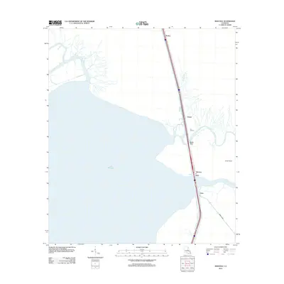 2012 Manchac2012 Print · USGSCoastal Tangipahoa Parish is seen here in the early 2010s, defined by the meeting of major river systems and the vast Lake Maurepas. Trace the historic transit corridor through Akers and Manchac PO, and locate industrial points like Port Manchac along the marshes.
 - 2012 Map of Laplace, 2012 Print
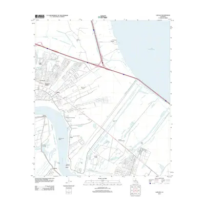 2012 Laplace2012 Print · USGSCoastal Louisiana in the early 2010s shows the convergence of suburban growth and massive flood control at Laplace. Genealogists and researchers can trace the riverfront at Killona, find the Montz Cem, and study the reach of the Bonnet Carre Floodway.
 - 2012 Map of Ruddock, 2012 Print
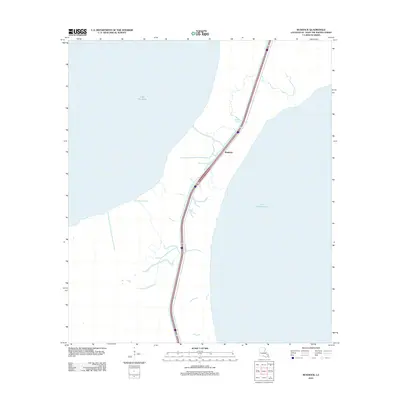 2012 Ruddock2012 Print · USGSSt. John the Baptist Parish occupies the thin strip of land between two major lakes in the early twenty-first century. Researchers can trace the path of Old US Hwy 51 through the wetlands near Ruddock and along the shores of Lake Maurepas.
 - 2012 Map of Mount Airy NE, 2012 Print
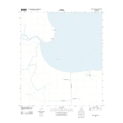 2012 Mount Airy NE2012 Print · USGSLake Maurepas and its surrounding wetlands are captured here in the early twenty-first century. Researchers can trace the intricate network of the Blind River, find the South Lake Maurepas Gas Field, and follow the path of the Reserve Relief Canal.
 - 2012 Map of La Branche, 2012 Print
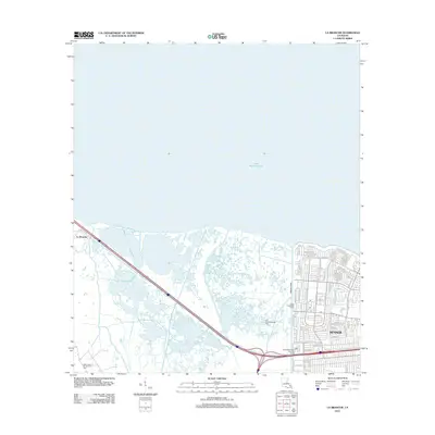 2012 La Branche2012 Print · USGSJefferson Parish at the start of the 2010s shows the precise boundary where the suburban expansion of Kenner meets the coastal marsh. Genealogists and local historians can trace street-level details near Joe Yenni Blvd or locate industrial sites like the East Good Hope Gas Field.
 - 2012 Map of Covington SW, 2012 Print
 2012 Covington SW2012 Print · USGSCoastal Louisiana waters define this area in the early 2010s, focused on the northern reaches of the basin. Researchers can study the open-water geography and shoreline of Lake Pontchartrain as documented by the U.S. Geological Survey.
 - 2012 Map of Lutcher, 2012 Print
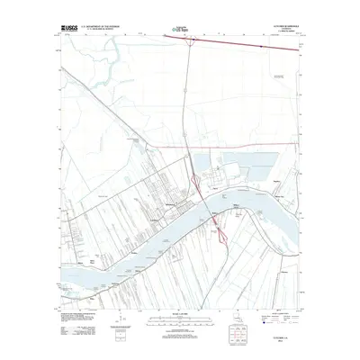 2012 Lutcher2012 Print · USGSLutcher and Gramercy occupy the fertile banks of the Mississippi River during this modern survey of St. James Parish. Genealogists and historians can locate numerous landings and burial sites like Saint Phillips Cem and trace the Lutcher-Cresent Ferry route.
 - 2012 Map of Lower Vacherie, 2012 Print
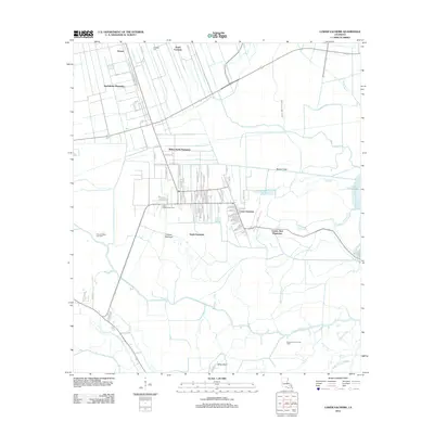 2012 Lower Vacherie2012 Print · USGSSt. James Parish at the start of the decade shows the enduring footprint of the Mississippi River plantation system and its transition into the delta marsh. Researchers can trace the layout of Webre Steib Plantation and Southdown Plantation alongside modern developments like Coteau Chevreuil.
 - 2012 Map of Lac des Allemands, 2012 Print
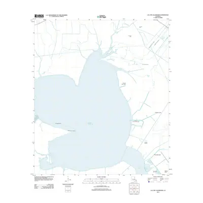 2012 Lac des Allemands2012 Print · USGSLafourche Parish's wetlands and waterways are captured here during a period of significant industrial water management. Researchers can trace the intersection of natural features like Bayou Chevreuil with extensive energy sites such as the Lucy Gas Field and Lacs Des Allemands Gas Field.
 - 2012 Map of Spanish Fort NE OE W, 2012 Print
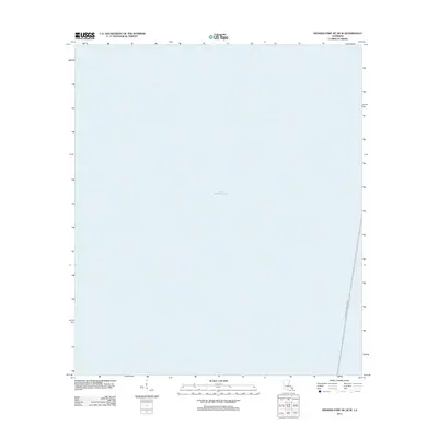 2012 Spanish Fort NE OE W2012 Print · USGSThe open waters of Jefferson Parish are documented here in the years following the turn of the century. Genealogists and historians can trace the path of the Lake Pontchartrain Causeway as it crosses the expanse of Lake Pontchartrain.
 - 2012 Map of Killian, 2012 Print
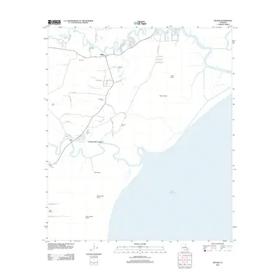 2012 Killian2012 Print · USGSLivingston Parish at the start of the 2010s reveals a water-bound landscape defined by the confluence of the Amite River and Tickfaw River. Local historians can trace old homesteads and landings from Clio to Carthage Bluff Landing or locate family markers at Bethlehem Cem.
 - 2012 Map of Mount Airy NW, 2012 Print
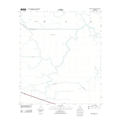 2012 Mount Airy NW2012 Print · USGSLivingston Parish watercourses and cypress-covered coteaus are mapped here in the early twenty-first century as modern canals intersect older bayous. Researchers can trace the path of the Amite River Diversion Canal and local landmarks like Sarah Ridge and Alligator Island.
 - 2012 Map of Bonnett Carre NE, 2012 Print
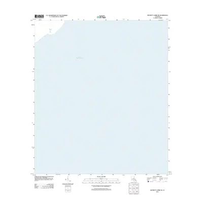 2012 Bonnett Carre NE2012 Print · USGSLake Pontchartrain's central waters are documented in the early twenty-first century, showing the vast aquatic expanse between parishes. Researchers of Louisiana's coast can study the precise shoreline and hydrography of Lake Pontchartrain.
 - 2012 Map of Reserve, 2012 Print
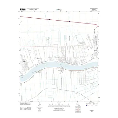 2012 Reserve2012 Print · USGSThe Mississippi River corridor near Reserve is mapped here during the early twenty-first century, showing the enduring alignment of riverfront settlements. Researchers can locate family landmarks like Bishop Cem, the Reserve-Edgard Ferry, and remnants of historic estates along Goldmine Plantation Rd.
 - 2012 Map of Ponchatoula SE, 2012 Print
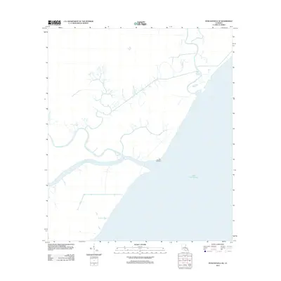 2012 Ponchatoula SE2012 Print · USGSTangipahoa Parish coastal marshlands are depicted in 2012 as a complex network of waterways meeting the open lake. Trace the navigational history of Pass Manchac and locate the Pass Manchac Lighthouse alongside local bayous like Stinking Bayou and Mays Bayou.
 - 2015 Map of Covington SW, 2015 Print
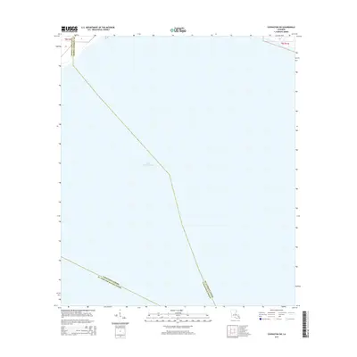 2015 Covington SW2015 Print · USGSThe open waters of Louisiana's largest lake take center stage in this mid-2010s survey. Researchers can trace the exact water-bound borders where St. Tammany Parish, Tangipahoa Parish, and St. John the Baptist Parish meet in Lake Pontchartrain.
 - 2015 Map of Manchac, 2015 Print
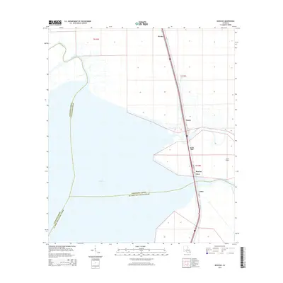 2015 Manchac2015 Print · USGSCoastal Tangipahoa Parish and the edge of Lake Maurepas are shown in the mid-2010s at a time of continued reliance on the narrow Manchac land bridge. Genealogists and local historians can trace the transit corridor between Manchac and Akers or locate old landings at Strader and Sharkey.
 - 2015 Map of Ponchatoula SE, 2015 Print
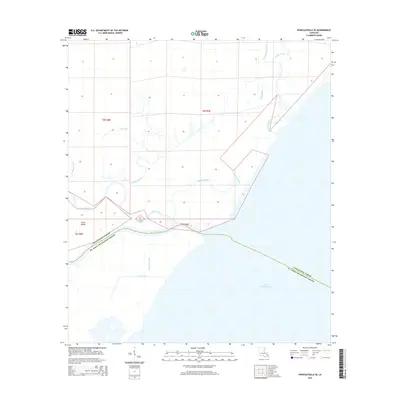 2015 Ponchatoula SE2015 Print · USGSTangipahoa Parish and the northern reaches of Lake Pontchartrain are shown in this recent survey of the Louisiana wetlands. Genealogists and local historians can trace the intricate water boundaries of Jones Island and the historical routes of Pass Manchac and the Tangipahoa River.
 - 2015 Map of Mount Airy NE, 2015 Print
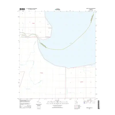 2015 Mount Airy NE2015 Print · USGSThe Louisiana bayou country remains a maze of wetlands and water in the early twenty-first century. Genealogists and researchers can trace the intricate connections of Mississippi Bayou, Alligator Island, and the shores of Lake Maurepas.
 - 2015 Map of Spanish Fort NE OE W, 2015 Print
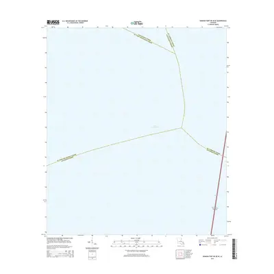 2015 Spanish Fort NE OE W2015 Print · USGSLake Pontchartrain and its watery parish boundaries are the primary focus of this mid-decade survey. Researchers can trace the path of the Lake Pontchartrain Causeway and see where Jefferson Parish meets its neighbors in the open water.
 - 2015 Map of Bonnett Carre NE, 2015 Print
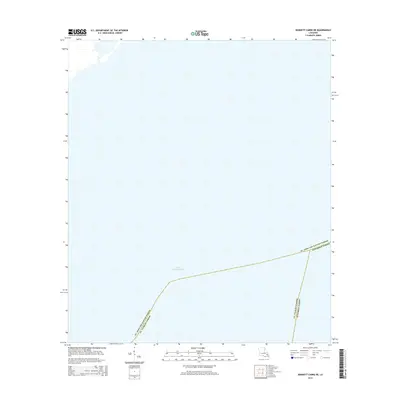 2015 Bonnett Carre NE2015 Print · USGSThe open waters of southeastern Louisiana are the focus of this mid-2010s survey, showing where three jurisdictions meet in the basin. Genealogists and researchers can trace the exact water boundaries of Jefferson Parish, St. Charles Parish, and St. John the Baptist Parish within Lake Pontchartrain.
 - 2015 Map of Lac des Allemands, 2015 Print
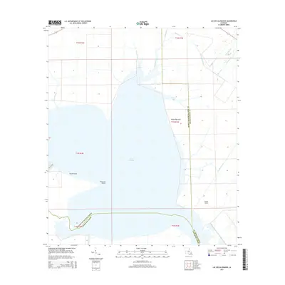 2015 Lac des Allemands2015 Print · USGSLafourche and St. Charles Parishes are shown in the mid-2010s, centered on the significant waters of Lac des Allemands. Genealogists and researchers can trace the intricate network of waterways like the Saint Charles Canal and Bayou Lasseigne.
 - 2015 Map of Lower Vacherie, 2015 Print
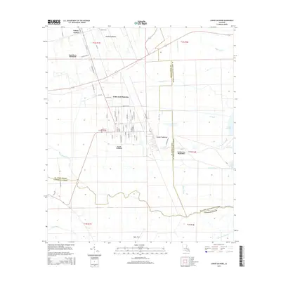 2015 Lower Vacherie2015 Print · USGSThe Vacherie region of St. James Parish is documented here in the early twenty-first century, showing the enduring structure of the Mississippi delta's historic land grants. Genealogists and historians can trace family-named roads like Judge Becnel Ln and locate sites such as Southdown Plantation or the Highway Cem.
 - 2015 Map of Mount Airy NW, 2015 Print
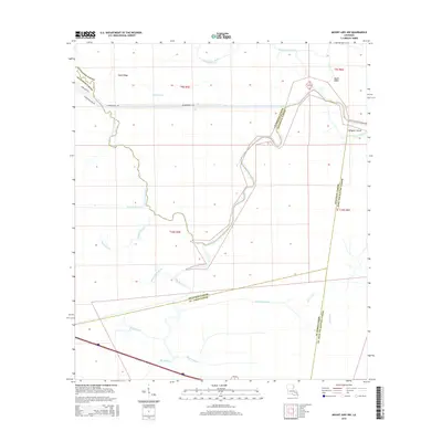 2015 Mount Airy NW2015 Print · USGSThe swampy interface of Livingston and Ascension Parishes is captured here in the mid-2010s, showing a landscape defined by winding bayous and drainage canals. Researchers can trace the complex hydrology of the Blind River, find the residential growth near Sarah Ridge, and locate landmarks like Alligator Island.
 - 2015 Map of Laplace, 2015 Print
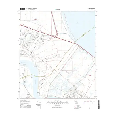 2015 Laplace2015 Print · USGSSt. John the Baptist Parish and St. Charles Parish are shown here during a period of modern expansion along the river. Genealogists and local historians can trace the riverside layouts of Laplace and Montz or locate the Montz Cem and Bonnet Carre Floodway.
Showing maps 1-25 of 45
Top cities of St. John the Baptist Parish
Frequently asked questions
- What are the different types of historical maps available for St. John the Baptist Parish?
- What is the oldest map of St. John the Baptist Parish?
- Where can I purchase historical maps of St. John the Baptist Parish for my home or office?
- Where can I download high-res historical maps of St. John the Baptist Parish?
- Are there historical topographic maps available for St. John the Baptist Parish?
- Is there historical aerial imagery available for St. John the Baptist Parish?
- Where are historical maps of St. John the Baptist Parish sourced from?