Old Maps of Port Barre, Louisiana for Metal Detecting
Plan your next treasure hunt with 13 historic maps of Port Barre. Find old homesites, ghost towns, trails, and gathering spots that may be lost to time — perfect for identifying promising metal detecting locations.
- Locate forgotten sites: Uncover places like long-lost settlements, abandoned rail lines, or gathering spots.
- Plan better hunts: Use map overlays combined with LiDAR or satellite views to narrow in on historically rich areas.
- Made for detectorists: Thousands of hobbyists use these maps to discover relics, coins, and hidden history.
Use these historic maps to boost your research and find new opportunities beneath the surface of Port Barre.
Port Barre, LA maps
(13)- 1954 Map of Baton Rouge, 1974 Print
 1954 Baton Rouge1974 Print · USGSSoutheast Louisiana in the mid-fifties is captured here during a period of transition for its river and rail economies. Researchers can trace the path of the Mississippi River and find landmarks like the Bonnet Carre Spillway and Bayou Plaquemine.2 unique versions available
 - 1956 Map of Baton Rouge
 1956 Baton Rouge1956 Print · USGSSouth Louisiana at the height of the mid-century oil boom shows a landscape of river oxbows and rising industry. Researchers can trace family roots through river towns like Scotlandville or locate early industrial sites and Oil wells near Lake Maurepas.
 - 1959 Map of Palmetto, 1962 Print
 1959 Palmetto1962 Print · USGSSt. Landry Parish is mapped here just before the 1960s, showing the intersection of heavy industry, rail transport, and deep-water management. Researchers can locate family landmarks such as Godeau Cem., rural schools like Krotz Springs Sch., and the early footprints of the Melville Gas Field.2 unique versions available
 - 1961 Map of Baton Rouge, 1966 Print
 1961 Baton Rouge1966 Print · USGSSoutheastern Louisiana in the early sixties remains a landscape of deep river bends and sprawling coastal lakes. Genealogists and historians can trace the rail-and-river economy through landmarks like Free-Nigger Point, Donaldsonville, and the Illinois Central Railroad.
 - 1962 Map of Baton Rouge
 1962 Baton Rouge1962 Print · USGSSouth Louisiana in the early sixties reveals a landscape of river-bend parishes and emerging interstate corridors. Genealogists and historians can trace family roots through historic river towns like Donaldsonville and Plaquemine, or follow the path of the Illinois Central Railroad through the swamp basins.
 - 1968 Map of Port Barre, 1969 Print
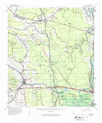
 1968 Port Barre1969 Print · USGSPort Barre and the surrounding St. Landry Parish lowlands are captured here in the late sixties at the junction of Bayou Teche and Bayou Courtableau. Researchers can trace family sites like Saquette Cemetery and St. Mary Church alongside the industrial footprint of the Port Barre Oil and Gas Field.2 unique versions available
 - 1970 Map of Palmetto, 1972 Print
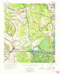 1970 Palmetto1972 Print · USGSSt. Landry and Pointe Coupee Parishes are shown in the early seventies as a landscape of deep bayous and massive flood control works. Genealogists and historians can trace family locations near Rideau Settlement, Palmetto Cem, and Sacred Heart Ch.
 - 1983 Map of New Roads
 1983 New Roads1983 Print · USGSThe river parishes of central Louisiana are documented in the early 1980s, showcasing the winding courses of the Atchafalaya and Mississippi. Genealogists and historians can trace rail-served river towns like Melville and Simmesport, or locate the Port Hudson National Cem and the State Penitentiary.2 unique versions available
 - 2012 Map of Port Barre, 2012 Print
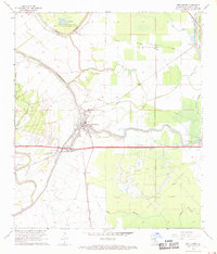
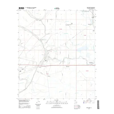
 2012 Port Barre2012 Print · USGSCovers Port Barre, including Darbonne, Hazelwood, and other nearby areas
 - 2015 Map of Port Barre, 2015 Print
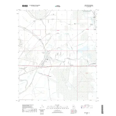
 2015 Port Barre2015 Print · USGSCovers Port Barre, including Darbonne, Hazelwood, and other nearby areas
 - 2018 Map of Port Barre, 2018 Print
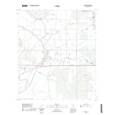
 2018 Port Barre2018 Print · USGSCovers Port Barre, including Darbonne, Hazelwood, and other nearby areas
 - 2020 Map of Port Barre, 2020 Print
 2020 Port Barre2020 Print · USGSCovers Port Barre, including Darbonne, Hazelwood, and other nearby areas
 - 2024 Map of Port Barre, 2024 Print
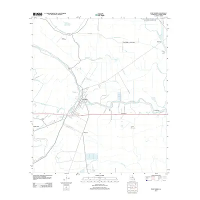
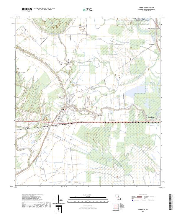 2024 Port Barre2024 Print · USGSSt. Landry Parish is revealed in high detail during the early 2020s, centered on the historic junction of the bayous. Researchers can trace family connections at Sacred Heart Cem, explore the outskirts of Hazelwood, or locate the T & M Airfield.
End of results
Showing maps 1-13 of 13
Top cities near Port Barre
- Opelousas historical maps
- Carencro historical maps
- Sunset historical maps
- Melville historical maps
- Krotz Springs historical maps
- Washington historical maps
See more
Frequently asked questions
- What are the different types of historical maps available for Port Barre?
- What is the oldest map of Port Barre?
- Where can I purchase historical maps of Port Barre for my home or office?
- Where can I download high-res historical maps of Port Barre?
- Are there historical topographic maps available for Port Barre?
- Is there historical aerial imagery available for Port Barre?
- Where are historical maps of Port Barre sourced from?