Old Maps of Waterproof, Louisiana for Hiking & Exploration
Hike through history with 21 historic maps of Waterproof. Explore old trails, ghost towns, and forgotten backroads — perfect for outdoor adventurers and local explorers.
- Rediscover forgotten places: Map out old mining camps, roads, and footpaths that no longer exist on modern maps.
- Layer with modern tools: Combine with LiDAR or satellite views to plan hikes through historical terrain.
- Made for exploration: Popular among hikers, overlanders, and local history lovers.
Use these maps to find adventure and explore the hidden past of Waterproof.
Waterproof, LA maps
(21)- 1939 Map of Locust Ridge, 1965 Print
 1939 Locust Ridge1965 Print · USGSThe Mississippi Delta in the late 1930s reveals a land of sprawling plantations and bayou settlements along the Louisiana border. Genealogists can trace family landmarks like the Mayflower Cem, Maryland Plantation Cem, and New St Mark Ch among the meanders of the river.
 - 1953 Map of Natchez, 1966 Print
 1953 Natchez1966 Print · USGSSouthwest Mississippi and the Louisiana border country come alive in this mid-century survey of the river valley and forest lands. Researchers can trace the rail lines of the Illinois Central RR and locate rural hubs like Gloster and Ferriday.3 unique versions available
 - 1956 Map of Natchez
 1956 Natchez1956 Print · USGSThe Mississippi River borderlands and the Pine Hills come alive in this mid-fifties study of the Natchez region. Genealogists and historians can trace rail-era towns along the Illinois Central RR and explore the oxbows of Lake Bruin and Lake Concordia.
 - 1959 Map of Natchez
 1959 Natchez1959 Print · USGSSouthwestern Mississippi and eastern Louisiana are captured in the late fifties, showing a landscape defined by the winding Mississippi River and the timbered Homochitto National Forest. Researchers can trace the sprawling Illinois Central RR and find rural landmarks like Union Church and Camp Van Dorn (Abandoned).
 - 1963 Map of Chamblee, 1964 Print
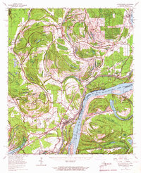
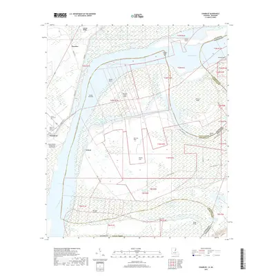
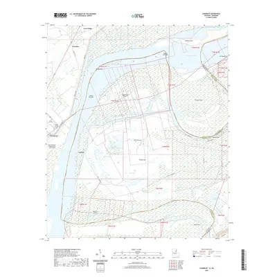
 1963 Chamblee1964 Print · USGSThe Mississippi River's shifting bends and cutoffs in the early 1960s reveal a landscape of islands and oil fields along the Louisiana-Mississippi border. Genealogists and historians can trace the locations of Durango Plantation, Myrtle Grove Cem, and the village of Chamblee.2 unique versions available
 - 1963 Map of Waterproof, 1964 Print
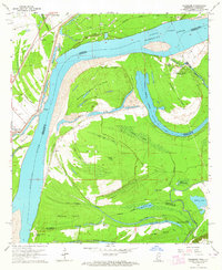
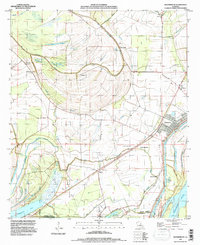
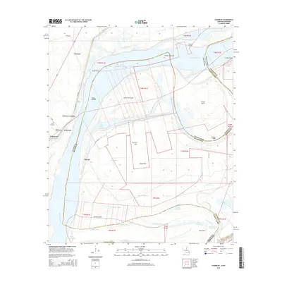
 1963 Waterproof1964 Print · USGSNortheastern Louisiana in the 1960s was a landscape shaped by its river systems and agricultural heritage. Researchers can trace family roots through the Arcola and Winona estates or locate community landmarks like Richland Ch and Waterproof.2 unique versions available
 - 1965 Map of Locust Ridge, 1967 Print
 1965 Locust Ridge1967 Print · USGSThe Louisiana-Mississippi riverlands are captured here in the mid-1960s, showing the intricate oxbow lakes and rail-connected settlements along the river's edge. Researchers can locate family-named estates like Winona Plantation and rural landmarks like Choctaw Chapel and the Shiloh Ch.2 unique versions available
 - 1984 Map of Natchez
 1984 Natchez1984 Print · USGSThe Mississippi-Louisiana borderlands in the mid-eighties show a landscape defined by the winding Mississippi River and its rail networks. Trace family history at the Natchez National Cemetery or explore the river towns of Vidalia and Ferriday.
 - 1991 Map of Natchez, 1992 Print
 1991 Natchez1992 Print · USGSThe Mississippi River valley at the turn of the nineties reveals a landscape of oxbow lakes, river landings, and bustling bluff-top towns. Genealogists and historians can trace the rail corridors of the Illinois Central Gulf Railroad through Fayette or locate family roots in riverside settlements like Waterproof and St Joseph.
 - 1994 Map of Chamblee, 1997 Print
 1994 Chamblee1997 Print · USGSThe Mississippi River's shifting path south of Natchez defines this mid-century landscape of alluvial islands and plantation sites. Genealogists and researchers can trace the vicinity of Waterproof, identify the Myrtle Grove Cem, and locate the historic Durango Plantation.
 - 1994 Map of Waterproof, 1997 Print
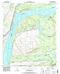
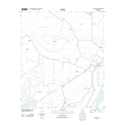
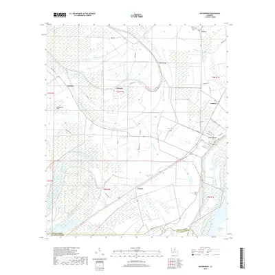
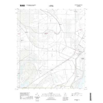
 1994 Waterproof1997 Print · USGSThe Louisiana delta along the Tensas and Concordia parish line shows a landscape of river-driven agriculture and engineering in the 1990s. Researchers can trace the footprints of major landholdings like Arcola Plantation, the remote settlement of Azucena, and the namesake town of Waterproof.
 - 2012 Map of Waterproof, 2012 Print
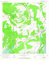
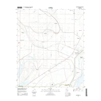
 2012 Waterproof2012 Print · USGSCovers Waterproof, including Troy, Goldman, and other nearby areas
 - 2012 Map of Chamblee, 2012 Print
 2012 Chamblee2012 Print · USGSCovers Waterproof, including Chamblee, Ashland, and other nearby areas
 - 2015 Map of Waterproof, 2015 Print
 2015 Waterproof2015 Print · USGSCovers Waterproof, including Troy, Goldman, and other nearby areas
 - 2015 Map of Chamblee, 2015 Print
 2015 Chamblee2015 Print · USGSCovers Waterproof, including Chamblee, Ashland, and other nearby areas
 - 2018 Map of Waterproof, 2018 Print
 2018 Waterproof2018 Print · USGSCovers Waterproof, including Troy, Goldman, and other nearby areas
 - 2018 Map of Chamblee, 2018 Print
 2018 Chamblee2018 Print · USGSCovers Waterproof, including Chamblee, Ashland, and other nearby areas
 - 2020 Map of Waterproof, 2020 Print
 2020 Waterproof2020 Print · USGSCovers Waterproof, including Troy, Goldman, and other nearby areas
 - 2020 Map of Chamblee, 2020 Print
 2020 Chamblee2020 Print · USGSCovers Waterproof, including Chamblee, Ashland, and other nearby areas
 - 2024 Map of Waterproof, 2024 Print
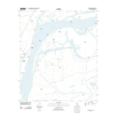
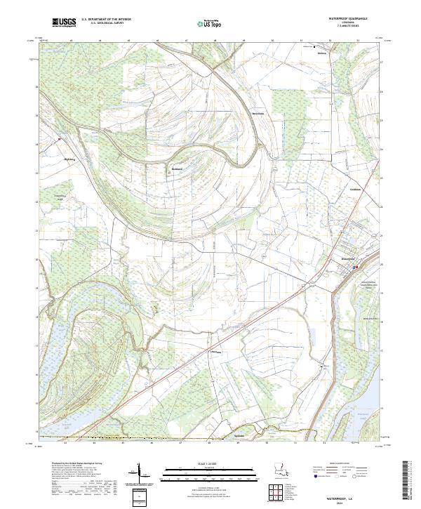 2024 Waterproof2024 Print · USGSNear the border of Tensas and Concordia Parishes, this area shows a landscape defined by the winding waters of the Mississippi River delta. Genealogists and local historians can trace the foundations of Waterproof, find family names at Winona Cem, and locate older landings like Goldman.
 - 2024 Map of Chamblee, 2024 Print
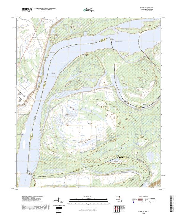 2024 Chamblee2024 Print · USGSThe Louisiana-Mississippi border comes alive in this contemporary survey of the river's winding path through Tensas Parish and Jefferson County. Genealogists and researchers can trace local landmarks like Myrtle Grove Cem and Chamblee amidst the oxbows of Bell Cow Lake and Rodney Island.
End of results
Showing maps 1-21 of 21
Top cities near Waterproof
- Natchez historical maps
- Ferriday historical maps
- Saint Joseph historical maps
- Ridgecrest historical maps
- Clayton historical maps
Frequently asked questions
- What are the different types of historical maps available for Waterproof?
- What is the oldest map of Waterproof?
- Where can I purchase historical maps of Waterproof for my home or office?
- Where can I download high-res historical maps of Waterproof?
- Are there historical topographic maps available for Waterproof?
- Is there historical aerial imagery available for Waterproof?
- Where are historical maps of Waterproof sourced from?