Old Maps of Florence Landing, Louisiana for Hiking & Exploration
Hike through history with 14 historic maps of Florence Landing. Explore old trails, ghost towns, and forgotten backroads — perfect for outdoor adventurers and local explorers.
- Rediscover forgotten places: Map out old mining camps, roads, and footpaths that no longer exist on modern maps.
- Layer with modern tools: Combine with LiDAR or satellite views to plan hikes through historical terrain.
- Made for exploration: Popular among hikers, overlanders, and local history lovers.
Use these maps to find adventure and explore the hidden past of Florence Landing.
Florence Landing, LA maps
(14)- 1954 Map of Port Arthur
 1954 Port Arthur1954 Print · USGSThe Texas and Louisiana coastlines meet here in the mid-fifties, showing the industrial rise of Port Arthur alongside vast wildlife preserves. Researchers can trace remote coastal settlements and infrastructure like Pecan Island, the Sabine Pass Lighthouse, and the North Island School.
 - 1954 Map of Grand Lake East NE
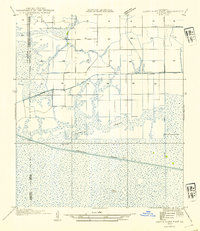 1954 Grand Lake East NE1954 Print · USGSCoastal Vermilion Parish in the mid-1950s is defined by its transition from prairie farmland to vast Louisiana marshlands. Genealogists and historians can trace the early dredging of the Intracoastal Waterway and locate sites like the Gueydan Cem and the Florence Hunt Club.
 - 1955 Map of Grand Lake East, 1956 Print
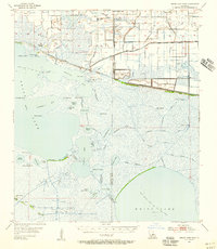 1955 Grand Lake East1956 Print · USGSLouisiana's coastal wetlands come alive in the mid-fifties, showing the intersection of the oil industry and hunting culture. Researchers can trace the Intracoastal Waterway alongside secluded spots like the Florence Hunt Club and Gueydan Cem.3 unique versions available
 - 1956 Map of Port Arthur, 1965 Print
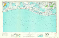 1956 Port Arthur1965 Print · USGSThe Texas and Louisiana coastlines meet here in the mid-fifties, showing a landscape of sprawling marshes and growing refinery towns. Genealogists and historians can trace ridge settlements like Grand Cheniere or find the Sabine Pass Lighthouse and Pecan Island.3 unique versions available
 - 1958 Map of Port Arthur
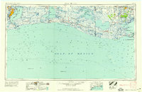 1958 Port Arthur1958 Print · USGSThe Texas and Louisiana coastlines meet in the late fifties at the busy industrial port of Port Arthur. Historians and genealogists can trace the early rail networks of the Southern Pacific and locate coastal settlements like Cameron, Pecan Island, and Abbeville.
 - 1959 Map of Port Arthur
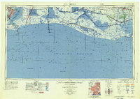 1959 Port Arthur1959 Print · USGSThe Texas and Louisiana coastlines meet in this late-fifties study of a landscape defined by industry and wildlife preserves. Trace the Intracoastal Waterway past Pecan Island and Abbeville, or locate the shipping channels at Sabine Pass.
 - 1973 Map of Port Arthur, 1974 Print
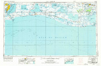 1973 Port Arthur1974 Print · USGSThe Texas-Louisiana borderlands in the early seventies reveal an intricate landscape of coastal marshes and heavy industry. Trace the growth of Port Arthur, the extent of the oil and gas fields, and old ridge settlements like Pecan Island.
 - 1979 Map of Latanier Bayou, 1980 Print
 1979 Latanier Bayou1980 Print · USGSCoastal Vermilion Parish in the late 1970s shows a landscape transformed by drainage canals and the oil industry. Researchers can trace local landmarks like Florence Landing, the Gueydan Cem, and the massive Intracoastal Waterway through the marsh.
 - 1983 Map of White Lake
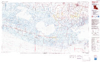 1983 White Lake1983 Print · USGSCoastal Louisiana at the start of the 1980s reveals a world of remote chenier settlements and vast marshlands. Genealogists and historians can trace family locations along Grand Chenier Ridge or explore the hubs of Abbeville and Intracoastal City.2 unique versions available
 - 2012 Map of Latanier Bayou, 2012 Print
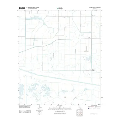 2012 Latanier Bayou2012 Print · USGSCoastal Vermilion Parish in the early 2010s reveals a specialized landscape of industrial gas fields and intricate canal systems. Researchers can trace land ownership and water management near Florence Landing, Gueydon Cem, and the Southwest Gueydan Gas Field.
 - 2015 Map of Latanier Bayou, 2015 Print
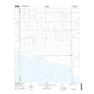 2015 Latanier Bayou2015 Print · USGSVermilion Parish in the early twenty-first century is a landscape shaped by water management and coastal industry. Researchers can trace the junction of the Intracoastal Waterway and irrigation networks near Florence Landing and Deer Island.
 - 2018 Map of Latanier Bayou, 2018 Print
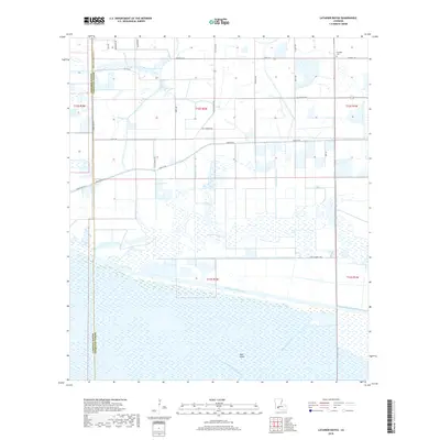 2018 Latanier Bayou2018 Print · USGSCoastal Vermilion Parish at the border of Cameron Parish is captured here as a landscape of interconnected waterways and marshland. Genealogists and local historians can trace family-named routes and landmarks like Gueydan Cem, Deer Island, and the Intracoastal Waterway.
 - 2020 Map of Latanier Bayou, 2020 Print
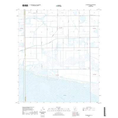 2020 Latanier Bayou2020 Print · USGSThe coastal marshlands and drainage networks of southern Vermilion Parish are shown here in the contemporary era. Researchers can trace land ownership through family-named routes like Monceaux Rd or locate the historic Gueydan Cem near the Intracoastal Waterway.
 - 2024 Map of Latanier Bayou, 2024 Print
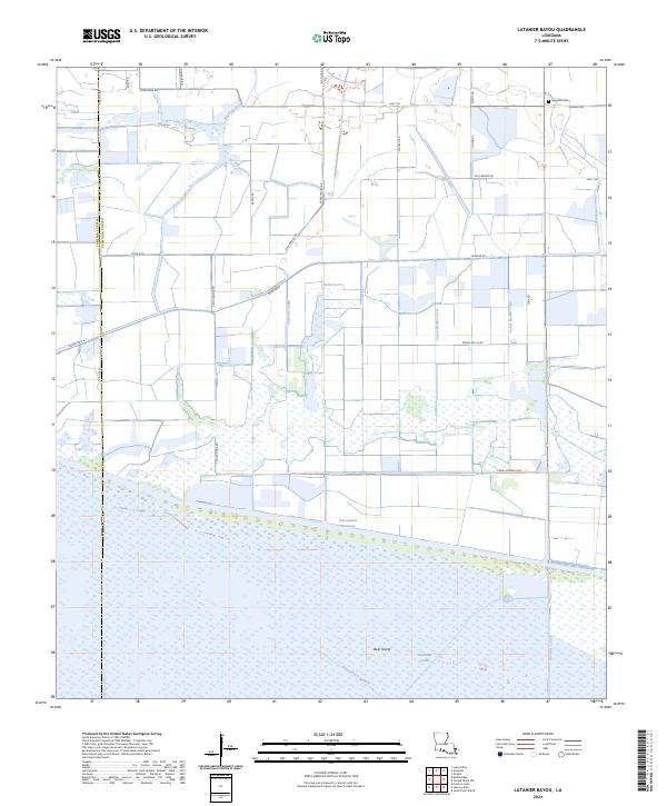 2024 Latanier Bayou2024 Print · USGSVermilion and Cameron Parishes are shown in the modern era as a landscape defined by industrial waterways and family land tracts. Researchers can trace land boundaries along Ellis Bridge Rd or locate the Gueydon Cem near the Big-Four-Ditch.
End of results
Showing maps 1-14 of 14
Top cities near Florence Landing
Frequently asked questions
- What are the different types of historical maps available for Florence Landing?
- What is the oldest map of Florence Landing?
- Where can I purchase historical maps of Florence Landing for my home or office?
- Where can I download high-res historical maps of Florence Landing?
- Are there historical topographic maps available for Florence Landing?
- Is there historical aerial imagery available for Florence Landing?
- Where are historical maps of Florence Landing sourced from?