Old Maps of Knight, Louisiana for Academic Research
Study the evolution of Knight with 12 high-resolution historic maps. Whether you're teaching, researching, or modeling changes in land use, these maps provide essential visual documentation of urban, environmental, and geographic change.
- Analyze long-term change: Track patterns in development, transportation, and natural features.
- Ideal for environmental or urban studies: Support academic projects with primary historical map data.
- Use in the classroom or lab: Educators and researchers rely on these maps to bring historical context to life.
These maps are a powerful tool for teaching, research, and visualizing how Knight has changed over the decades.
Knight, LA maps
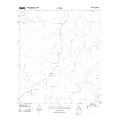
(12)- 1947 Map of Knight
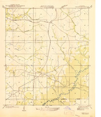 1947 Knight1947 Print · USGSLouisiana's timber country comes into focus in the mid-1940s, showing a landscape shaped by logging and early parish roads. Genealogists and historians can trace the foundations of local life at Mt Carmel Ch and the path of the Logging Railroad.
 - 1952 Map of Lake Charles
 1952 Lake Charles1952 Print · USGSSouthwest Louisiana is captured here in the mid-fifties, showing a landscape defined by the rise of the petrochemical industry and deep-water navigation. Researchers can trace family roots through numerous small-town settlements and oil developments like Nibletts Bluff, the Lockport Oil Field, and Starks.
 - 1954 Map of Knight
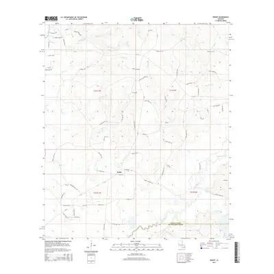
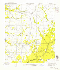 1954 Knight1954 Print · USGSVernon and Beauregard Parishes are captured here in the mid-1930s as the local timber industry left its mark on the landscape. Researchers can trace defunct transport networks like the Logging Railroad Grade and find family landmarks including Mt Carmel Ch and Knight.
 - 1954 Map of Lake Charles, 1964 Print
 1954 Lake Charles1964 Print · USGSSouthwest Louisiana in the mid-fifties is defined by its massive petroleum industry and its complex network of bayous and rail lines. Researchers can trace the development of the Sulphur Mines Oil Field or locate historic settlements like Longville and De Quincy.3 unique versions available
 - 1960 Map of De Ridder, 1961 Print
 1960 De Ridder1961 Print · USGSBeauregard Parish at the start of the 1960s shows a landscape shaped by timber, rail, and emerging oil interests. Genealogists can trace family roots through rural landmarks like Lillie Ch, Knight, and the settlements of Rosepine and Bon Ami.2 unique versions available
 - 1986 Map of DeRidder
 1986 DeRidder1986 Print · USGSThe Louisiana-Texas borderlands come to life in the mid-eighties, showcasing the timber country and rail corridors of the Sabine River valley. Researchers can trace the legacy of small communities and transit lines through Merryville, Holly Springs, and the Missouri Pacific railroad.2 unique versions available
 - 1986 Map of Knight
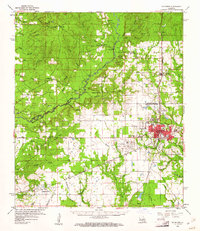
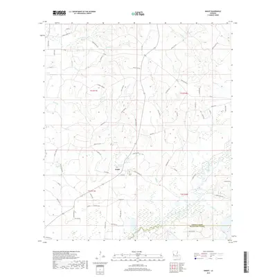
 1986 Knight1986 Print · USGSVernon and Beauregard Parishes are captured here in the mid-1980s, revealing a landscape of dense creek networks and small timber-country settlements. Genealogists and local historians can trace landmarks like Knight and Fal or map the reaches of Bayou Anacoco and Damrel Creek.
 - 2012 Map of Knight, 2012 Print
 2012 Knight2012 Print · USGSCovers Knight, including Vernon Parish, Beauregard Parish, and other nearby areas
 - 2015 Map of Knight, 2015 Print
 2015 Knight2015 Print · USGSCovers Knight, including Vernon Parish, Beauregard Parish, and other nearby areas
 - 2018 Map of Knight, 2018 Print
 2018 Knight2018 Print · USGSCovers Knight, including Vernon Parish, Beauregard Parish, and other nearby areas
 - 2020 Map of Knight, 2020 Print
 2020 Knight2020 Print · USGSCovers Knight, including Vernon Parish, Beauregard Parish, and other nearby areas
 - 2024 Map of Knight, 2024 Print
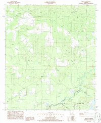
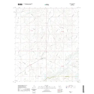
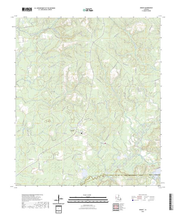 2024 Knight2024 Print · USGSKnight and the surrounding piney woods of Vernon Parish appear here in contemporary detail. Researchers can trace family names and local landmarks through the many rural roads, the Hinson Cem, and the winding course of Bayou Anacoco.
End of results
Showing maps 1-12 of 12
Top cities near Knight
- Leesville historical maps
- New Llano historical maps
- Rosepine historical maps
- Merryville historical maps
Frequently asked questions
- What are the different types of historical maps available for Knight?
- What is the oldest map of Knight?
- Where can I purchase historical maps of Knight for my home or office?
- Where can I download high-res historical maps of Knight?
- Are there historical topographic maps available for Knight?
- Is there historical aerial imagery available for Knight?
- Where are historical maps of Knight sourced from?