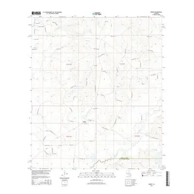
2015 Map of Knight
USGS Topo · Published 2015About this map
Knight serves as the central settlement point in this region of Louisiana, situated north of the Vernon Parish and Beauregard Parish boundary line. The landscape is defined by an intricate network of waterways, including the winding Bayou Anacoco and numerous creeks such as Damrel Cr and Mill Cr. This area is characterized by a high density of rural roads named for local families, such as Burrell Harvey Rd, Oscar Stephens Rd, and David Midkiff Rd, suggesting a landscape of long-standing family landholdings and timber-rich terrain.
Find a feature on this map
74 named features on this map. Tap any name to fly to it.
Don’t see what you’re looking for? This feature index may not catch every label — zoom into the map to look around manually.
Map Details
Editions of this 2015 Knight Map
This is the sole edition of this map. No revisions or reprints were ever made.
Other maps of this area

1941 · Leesville
USGS Topo · 1:62,500

1943 · Leesville
USGS Topo · 1:62,500

1944 · Wiergate
USGS Topo · 1:62,500

1946 · Leesville
USGS Topo · 1:62,500

1946 · Merryville
USGS Topo · 1:31,680

1947 · Pujo
USGS Topo · 1:31,680

1947 · DeRidder
USGS Topo · 1:31,680

1947 · Rosepine
USGS Topo · 1:31,680

1947 · Knight
USGS Topo · 1:31,680

1948 · Leesville
USGS Topo · 1:62,500