Old Maps of Neame, Louisiana for Hiking & Exploration
Hike through history with 13 historic maps of Neame. Explore old trails, ghost towns, and forgotten backroads — perfect for outdoor adventurers and local explorers.
- Rediscover forgotten places: Map out old mining camps, roads, and footpaths that no longer exist on modern maps.
- Layer with modern tools: Combine with LiDAR or satellite views to plan hikes through historical terrain.
- Made for exploration: Popular among hikers, overlanders, and local history lovers.
Use these maps to find adventure and explore the hidden past of Neame.
Neame, LA maps
(13)- 1947 Map of Rosepine
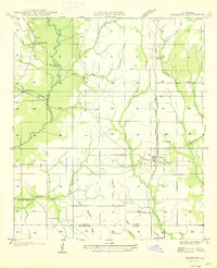 1947 Rosepine1947 Print · USGSLouisiana's western pine forests come into focus in the mid-1940s as the logging industry evolved along the rail corridors. Genealogists and researchers can trace the old paths between Neame and Rosepine, locating family landmarks like Walnut Grove Ch and Miller Cem.
 - 1952 Map of Lake Charles
 1952 Lake Charles1952 Print · USGSSouthwest Louisiana is captured here in the mid-fifties, showing a landscape defined by the rise of the petrochemical industry and deep-water navigation. Researchers can trace family roots through numerous small-town settlements and oil developments like Nibletts Bluff, the Lockport Oil Field, and Starks.
 - 1954 Map of Rosepine
 1954 Rosepine1954 Print · USGSThe pine woods of western Louisiana are captured here during a period of transition for the local timber industry. Researchers can trace the legacy of old company towns and rural life through landmarks like Neame, the Old Logging Railroad, and Cypress Creek Ch.
 - 1954 Map of Lake Charles, 1964 Print
 1954 Lake Charles1964 Print · USGSSouthwest Louisiana in the mid-fifties is defined by its massive petroleum industry and its complex network of bayous and rail lines. Researchers can trace the development of the Sulphur Mines Oil Field or locate historic settlements like Longville and De Quincy.3 unique versions available
 - 1960 Map of De Ridder, 1961 Print
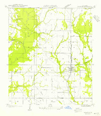
 1960 De Ridder1961 Print · USGSBeauregard Parish at the start of the 1960s shows a landscape shaped by timber, rail, and emerging oil interests. Genealogists can trace family roots through rural landmarks like Lillie Ch, Knight, and the settlements of Rosepine and Bon Ami.2 unique versions available
 - 1986 Map of Rosepine
 1986 Rosepine1986 Print · USGSThe Vernon and Beauregard Parish line comes into focus in the mid-1980s, showcasing the rural landscape surrounding Rosepine and De Ridder. Researchers can trace old gravel operations at the Gravel Pits or locate local landmarks like the Cem and Ludington.2 unique versions available
 - 1986 Map of DeRidder
 1986 DeRidder1986 Print · USGSThe Louisiana-Texas borderlands come to life in the mid-eighties, showcasing the timber country and rail corridors of the Sabine River valley. Researchers can trace the legacy of small communities and transit lines through Merryville, Holly Springs, and the Missouri Pacific railroad.2 unique versions available
 - 1994 Map of Rosepine, 1997 Print
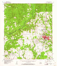
 1994 Rosepine1997 Print · USGSRosepine and the northern outskirts of Deridder are captured in the mid-nineties, documenting the transition between Vernon and Beauregard Parishes. Researchers can trace the winding course of the Anacoco River and locate local landmarks such as the Minnow Ponds, Ludington, and Pinewood.
 - 2012 Map of Rosepine, 2012 Print
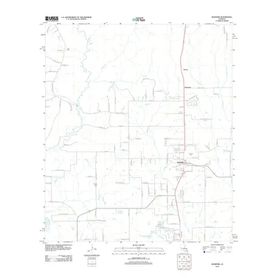 2012 Rosepine2012 Print · USGSCovers Neame, including Rosepine, Pinewood, and other nearby areas
 - 2015 Map of Rosepine, 2015 Print
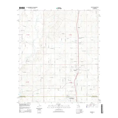 2015 Rosepine2015 Print · USGSCovers Neame, including Rosepine, Pinewood, and other nearby areas
 - 2018 Map of Rosepine, 2018 Print
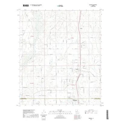 2018 Rosepine2018 Print · USGSCovers Neame, including Rosepine, Pinewood, and other nearby areas
 - 2020 Map of Rosepine, 2020 Print
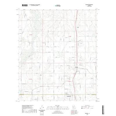 2020 Rosepine2020 Print · USGSCovers Neame, including Rosepine, Pinewood, and other nearby areas
 - 2024 Map of Rosepine, 2024 Print
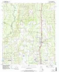
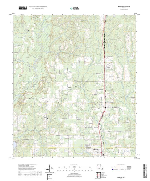 2024 Rosepine2024 Print · USGSThe Vernon and Beauregard Parish border comes into focus in this recent survey of the Louisiana piney woods. Genealogists can locate family landmarks like Miller Cem and Lewis New Cypress Cem, or trace the winding waters of Bayou Anacoco.
End of results
Showing maps 1-13 of 13
Top cities near Neame
- Leesville historical maps
- New Llano historical maps
- Rosepine historical maps
- Merryville historical maps
Frequently asked questions
- What are the different types of historical maps available for Neame?
- What is the oldest map of Neame?
- Where can I purchase historical maps of Neame for my home or office?
- Where can I download high-res historical maps of Neame?
- Are there historical topographic maps available for Neame?
- Is there historical aerial imagery available for Neame?
- Where are historical maps of Neame sourced from?