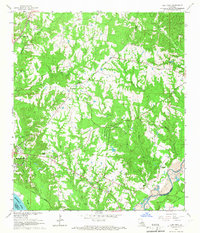
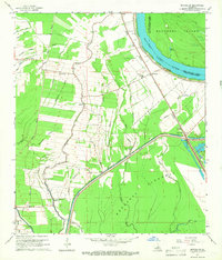
1960s Maps of West Feliciana Parish, Louisiana
Explore 20 historic maps of West Feliciana Parish from the 1960s. These maps offer a rare glimpse into what life looked like during the 1960s — showing old roads, neighborhoods, homes, and landmarks that have changed or disappeared over time.
Whether you're researching your family's past, planning a metal detecting trip, or studying how West Feliciana Parish's landscape evolved across the 1960s, these high-resolution maps are a powerful tool for exploring the history of this region.
- Focus on a specific era: All maps on this page are from the 1960s, giving you a focused view of this time period.
- See what’s changed: Compare century-old streets, trails, and buildings to today's modern landscape using overlays and satellite layers.
- Research with precision: Use these maps for genealogy, historical research, land use analysis, or educational projects.
- View, download, or print: Maps are fully viewable online in high resolution, and can be downloaded or printed for your own records.
Start exploring West Feliciana Parish's history through authentic maps from the 1960s. This is your window into the past.
West Feliciana Parish, LA maps
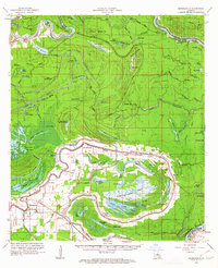
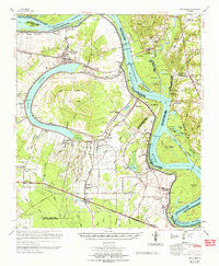
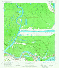
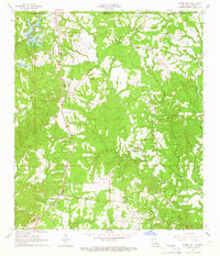
(20)- 1961 Map of Baton Rouge, 1966 Print
 1961 Baton Rouge1966 Print · USGSCovers West Feliciana Parish, including New Orleans, Baton Rouge, and other nearby areas
 - 1962 Map of Baton Rouge
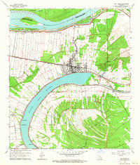
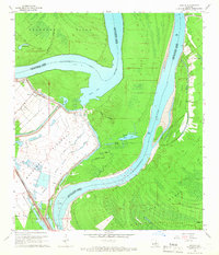
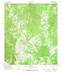
 1962 Baton Rouge1962 Print · USGSCovers West Feliciana Parish, including New Orleans, Baton Rouge, and other nearby areas
 - 1962 Map of Moreauville, 1963 Print
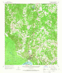
 1962 Moreauville1963 Print · USGSCovers West Feliciana Parish, including Moreauville, Red Fish, and other nearby areas2 unique versions available
 - 1962 Map of New Roads, 1964 Print
 1962 New Roads1964 Print · USGSCovers West Feliciana Parish, including New Roads, Leavel, and other nearby areas4 unique versions available
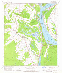
 - 1963 Map of Port Hudson, 1964 Print
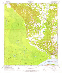
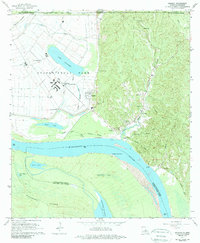
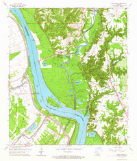 1963 Port Hudson1964 Print · USGSCovers West Feliciana Parish, including Waterloo, Riddle, and other nearby areas5 unique versions available
 - 1963 Map of New Roads, 1967 Print
 1963 New Roads1967 Print · USGSCovers West Feliciana Parish, including New Roads, Leavel, and other nearby areas2 unique versions available
 - 1965 Map of New Roads
 1965 New Roads1965 Print · USGSCovers West Feliciana Parish, including New Roads, Leavel, and other nearby areas
 - 1965 Map of Elm Park, 1966 Print
 1965 Elm Park1966 Print · USGSCovers West Feliciana Parish, including St. Francisville, Freeland, and other nearby areas3 unique versions available
 - 1965 Map of Batchelor, 1966 Print
 1965 Batchelor1966 Print · USGSCovers West Feliciana Parish, including Quinton, Batchelor, and other nearby areas2 unique versions available
 - 1965 Map of Innis, 1966 Print
 1965 Innis1966 Print · USGSCovers West Feliciana Parish, including Keller, Lettsworth, and other nearby areas2 unique versions available
 - 1965 Map of Turnbull Island, 1966 Print
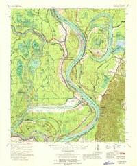
 1965 Turnbull Island1966 Print · USGSCovers West Feliciana Parish, including Merrick, Avoyelles Parish, and other nearby areas3 unique versions available
 - 1965 Map of Lacour, 1966 Print
 1965 Lacour1966 Print · USGSCovers West Feliciana Parish, including Morganza, Lacour, and other nearby areas4 unique versions available
 - 1965 Map of St. Francisville, 1966 Print
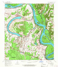
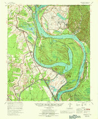
 1965 St. Francisville1966 Print · USGSCovers West Feliciana Parish, including Saint Francisville, St. Francisville, and other nearby areas2 unique versions available
 - 1965 Map of St. Francisville, 1966 Print
 1965 St. Francisville1966 Print · USGSCovers West Feliciana Parish, including Saint Francisville, St. Francisville, and other nearby areas3 unique versions available
 - 1965 Map of Laurel Hill, 1966 Print
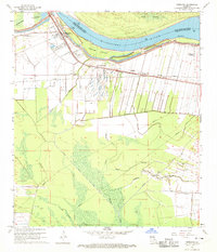
 1965 Laurel Hill1966 Print · USGSCovers West Feliciana Parish, including Wakefield, Laurel Hill, and other nearby areas2 unique versions available
 - 1965 Map of Weyanoke, 1966 Print
 1965 Weyanoke1966 Print · USGSCovers West Feliciana Parish, including Turnbull, Weyanoke, and other nearby areas2 unique versions available
 - 1965 Map of Angola, 1989 Print
 1965 Angola1989 Print · USGSCovers West Feliciana Parish, including Angola, Brandon, and other nearby areas2 unique versions available
 - 1967 Map of Artonish, 1968 Print
 1967 Artonish1968 Print · USGSCovers West Feliciana Parish, including Union Point, Loch Leven, and other nearby areas
 - 1967 Map of Batchelor, 1969 Print
 1967 Batchelor1969 Print · USGSCovers West Feliciana Parish, including Morganza, Keller, and other nearby areas
 - 1968 Map of Morganza, 1970 Print
 1968 Morganza1970 Print · USGSCovers West Feliciana Parish, including Morganza, Morrison, and other nearby areas3 unique versions available
End of results
Showing maps 1-20 of 20
Top cities of West Feliciana Parish
Frequently asked questions
- What are the different types of historical maps available for West Feliciana Parish?
- What is the oldest map of West Feliciana Parish?
- Where can I purchase historical maps of West Feliciana Parish for my home or office?
- Where can I download high-res historical maps of West Feliciana Parish?
- Are there historical topographic maps available for West Feliciana Parish?
- Is there historical aerial imagery available for West Feliciana Parish?
- Where are historical maps of West Feliciana Parish sourced from?