2000s (21st Century) Maps of West Feliciana Parish, Louisiana
Explore 75 historic maps of West Feliciana Parish from the 2000s (21st Century). These maps offer a rare glimpse into what life looked like during the 2000s — showing old roads, neighborhoods, homes, and landmarks that have changed or disappeared over time.
Whether you're researching your family's past, planning a metal detecting trip, or studying how West Feliciana Parish's landscape evolved across the 2000s, these high-resolution maps are a powerful tool for exploring the history of this region.
- Focus on a specific era: All maps on this page are from the 2000s, giving you a focused view of this time period.
- See what’s changed: Compare century-old streets, trails, and buildings to today's modern landscape using overlays and satellite layers.
- Research with precision: Use these maps for genealogy, historical research, land use analysis, or educational projects.
- View, download, or print: Maps are fully viewable online in high resolution, and can be downloaded or printed for your own records.
Start exploring West Feliciana Parish's history through authentic maps from the 2000s. This is your window into the past.
West Feliciana Parish, LA maps
(75)- 2012 Map of Big Bend, 2012 Print
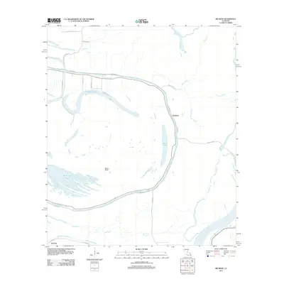 2012 Big Bend2012 Print · USGSThe alluvial wetlands of Avoyelles Parish come to life in this recent topographic study, showing the persistent relationship between the bayous and local settlements. Genealogists and historians can trace family-named roads like Pete Laborde Rd near Big Bend and the oxbow waters of Horseshoe Lake.
 - 2012 Map of Turnbull Island, 2012 Print
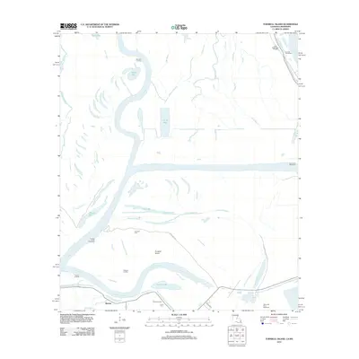 2012 Turnbull Island2012 Print · USGSThe confluence of the Red and Mississippi Rivers comes into focus here in the early twenty-first century. Genealogists and local historians can trace family connections at Turnbull Cem or locate former riverboat stops like Barbre Landing and Chandler Landing.
 - 2012 Map of Jackson, 2012 Print
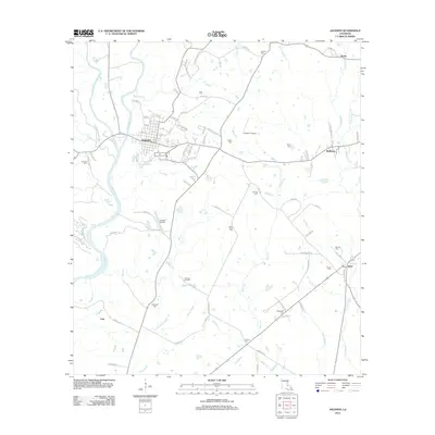 2012 Jackson2012 Print · USGSEast Feliciana Parish at the start of the 2010s reveals a landscape of established small towns and deep-rooted family sites. Genealogists can trace local roots through numerous burial grounds like Asphodel Cem and Keller Cem or find the Freeland Oil Field.
 - 2012 Map of Morganza, 2012 Print
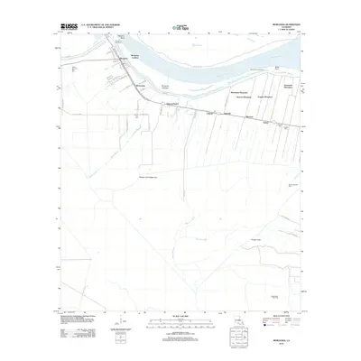 2012 Morganza2012 Print · USGSLouisiana's river country comes into focus in this recent survey of Pointe Coupee Parish, where the Mississippi's power is managed by massive civil works. Genealogists and researchers can locate Bright Morning Star Cem, the Moore-Sams Oil Field, and historical estates like Brunswick and Angeles Plantation.
 - 2012 Map of Port Hudson, 2012 Print
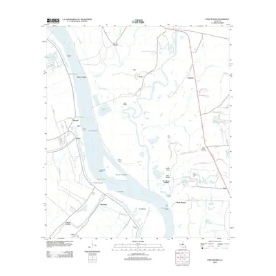 2012 Port Hudson2012 Print · USGSThe bluffs of East Baton Rouge Parish come into focus in the early 2010s, revealing a landscape of river landings and memorial grounds. Genealogists and historians can trace family locations through Port Hudson National Cem or explore the riverfront at Waterloo and Mount Pleasant.
 - 2012 Map of Batchelor, 2012 Print
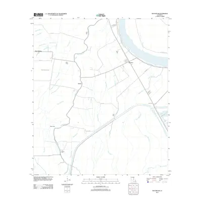 2012 Batchelor2012 Print · USGSPointe Coupee Parish in the early 2010s is a landscape of winding waterways and rural settlements defined by its intricate hydrology. Researchers can trace local lineage through sites like Little Zion Cem, Saint Marks Cem, and the community at Batchelor.
 - 2012 Map of Lacour, 2012 Print
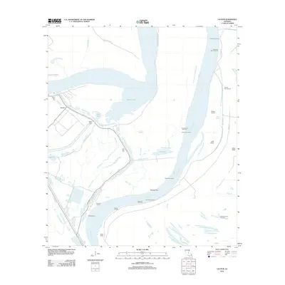 2012 Lacour2012 Print · USGSLouisiana river life and its intricate bayou networks are preserved here in the early twenty-first century. Genealogists and historians can trace family roots at Mount Zion Cem or locate old river access points like Greenwood Landing and Ryans Landing.
 - 2012 Map of Weyanoke, 2012 Print
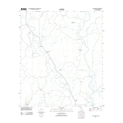 2012 Weyanoke2012 Print · USGSWest Feliciana Parish is documented here in the early twenty-first century, showing a landscape shaped by river systems and rural industry. Genealogists can locate family landmarks at Greenwood Cemetery and Evans Cemetery or trace the early settlement at Weyanoke.
 - 2012 Map of Saint Francisville, 2012 Print
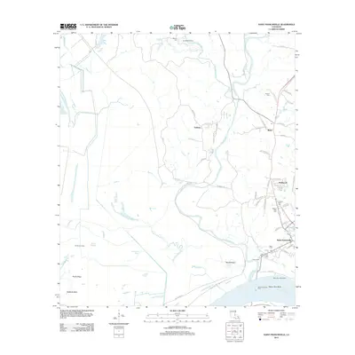 2012 Saint Francisville2012 Print · USGSSaint Francisville and its riverfront are captured here in the early twenty-first century, showcasing the community's historic cemeteries and river crossings. Researchers can trace family sites at Barrow Cem or Grace Cem and locate landmarks like the Saint Francisville Ferry.
 - 2012 Map of Laurel Hill, 2012 Print
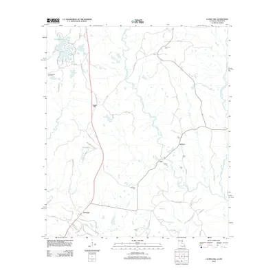 2012 Laurel Hill2012 Print · USGSWest Feliciana Parish in the early 2010s reveals a landscape of enduring family homesteads and rural crossroads. Local historians can trace dozens of family landmarks, from the Lake Rosemound Gas Field to numerous burial sites like Spillman Cem and Walker Cem.
 - 2012 Map of Angola, 2012 Print
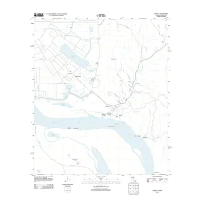 2012 Angola2012 Print · USGSWest Feliciana Parish is defined by the sweeping curve of the Mississippi River and the sprawling grounds of the Louisiana State Penitentiary in the early 2010s. Researchers can trace numerous camps, river landings like Tunica Landing, and local burial sites such as Point Lookout Cem.
 - 2012 Map of Rogillioville, 2012 Print
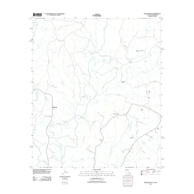 2012 Rogillioville2012 Print · USGSEast Feliciana Parish and the Mississippi border country appear here in the early twenty-first century, a landscape defined by winding creeks and rural industry. Researchers can trace family history at Pisgah Cem or McQueen Cem and locate landmarks like Rogillioville and Sydal Acres Airport.
 - 2012 Map of New Roads, 2012 Print
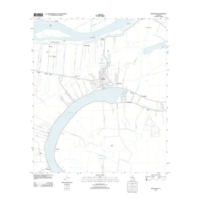 2012 New Roads2012 Print · USGSPointe Coupee Parish is shown here in the early twenty-first century, centered on the dramatic oxbow of the False River. Genealogists and local historians can trace the residential layouts of New Roads and locate family landmarks like Fairlane Cem and Parlange.
 - 2012 Map of Elm Park, 2012 Print
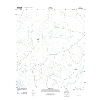 2012 Elm Park2012 Print · USGSWest Feliciana Parish in the early twenty-first century remains a landscape of wooded bayous and rural crossings. Researchers can trace local family landmarks through Starhill Cemetery and small communities like Hamilton or Elm Park.
 - 2012 Map of Innis, 2012 Print
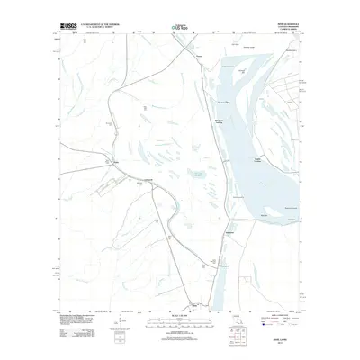 2012 Innis2012 Print · USGSLouisiana's riverfront heritage is on display in this survey of the Pointe Coupee Parish floodplain during the early 2010s. Researchers can trace family history through numerous local burial sites like True Vine Cem or locate historic river stations at Red River Landing and Torras.
 - 2015 Map of Big Bend, 2015 Print
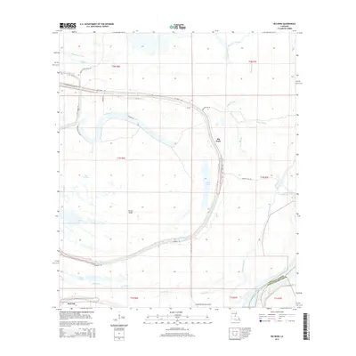 2015 Big Bend2015 Print · USGSAvoyelles Parish at the height of the modern era remains a landscape shaped by its river-fed geography and wetland tracts. Researchers can trace the winding course of the Atchafalaya River and locate local landmarks like Big Bend and Red Fish.
 - 2015 Map of New Roads, 2015 Print
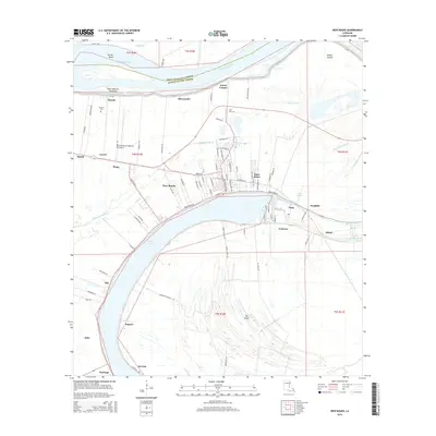 2015 New Roads2015 Print · USGSPointe Coupee Parish is shown here in the mid-2010s, centered on the oxbow lake that gives New Roads its waterfront character. Researchers can trace local lineage through small settlements like Ventress and Jarreau or locate the Zion Cem.
 - 2015 Map of Batchelor, 2015 Print
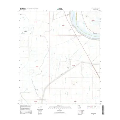 2015 Batchelor2015 Print · USGSPointe Coupee Parish at the turn of the 21st century remains a landscape of deep bayous and river overflows. Researchers can trace rural community foundations at Lower Latenache Church and explore the geography of Raccourci Island and the Morganza Floodway.
 - 2015 Map of Laurel Hill, 2015 Print
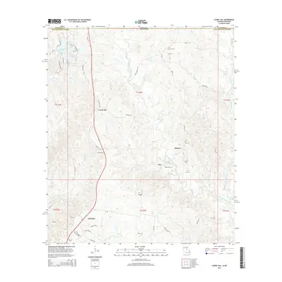 2015 Laurel Hill2015 Print · USGSWest Feliciana Parish in the mid-2010s remains a landscape of deep creek valleys and scattered rural settlements. Family historians can locate numerous remote burial sites such as McCausland Cem, Richardson Cem, and Spillman Cem.
 - 2015 Map of Rogillioville, 2015 Print
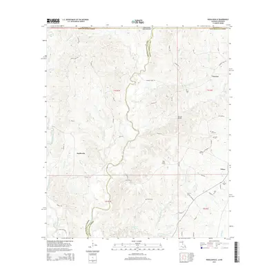 2015 Rogillioville2015 Print · USGSThe Louisiana-Mississippi borderlands near the parish line come to life in this contemporary survey. Genealogists and local historians can trace family roots through numerous sites like Pilgrims Rest Cem, Singletar Cem, and the settlement of Rogillioville.
 - 2015 Map of Morganza, 2015 Print
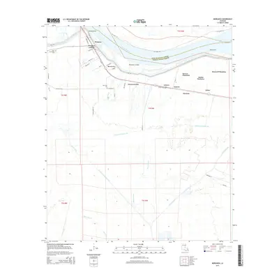 2015 Morganza2015 Print · USGSPointe Coupee Parish remains a landscape shaped by the river and its agrarian roots in the mid-2010s. Local researchers can trace historical land holdings from Stonewall Plantation to Angeles Plantation, or locate family sites near Bright Morning Star Cem and Dawson Switch.
 - 2015 Map of Weyanoke, 2015 Print
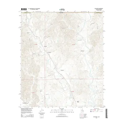 2015 Weyanoke2015 Print · USGSWest Feliciana Parish and the Mississippi border are shown here in the mid-2010s, defined by the winding course of Bayou Sara and rural crossroads. You can trace family roots through sites like Greenwood Cemetery and historic settlements like Weyanoke, Rosebank, and Flower Hill.
 - 2015 Map of Port Hudson, 2015 Print
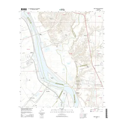 2015 Port Hudson2015 Print · USGSThe river bluffs of East Baton Rouge and West Feliciana Parishes are captured here in the mid-2010s. Modern researchers can trace the historic landings and high-ground landmarks of this storied corridor, including Port Hickey Landing, Balls Bluff, and Port Hudson Cem.
 - 2015 Map of Jackson, 2015 Print
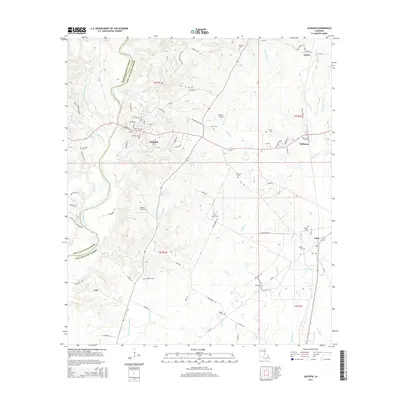 2015 Jackson2015 Print · USGSIn the central portion of East Feliciana Parish, the settlement of Jackson is shown alongside its surrounding hamlets in the mid-2010s. Local researchers can trace family landmarks and burial sites like Asphodel Cem, Scott Cem, and Evergreen Cem across this rural bayou landscape.
 - 2015 Map of Turnbull Island, 2015 Print
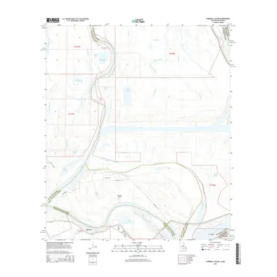 2015 Turnbull Island2015 Print · USGSTurnbull Island in the mid-2010s reveals a delta landscape defined by the shifting currents of the Red and Mississippi Rivers. Researchers can trace land patterns along the Upper Old River or locate family sites like Turnbull Cem and Merrick.
Showing maps 1-25 of 75
Top cities of West Feliciana Parish
Frequently asked questions
- What are the different types of historical maps available for West Feliciana Parish?
- What is the oldest map of West Feliciana Parish?
- Where can I purchase historical maps of West Feliciana Parish for my home or office?
- Where can I download high-res historical maps of West Feliciana Parish?
- Are there historical topographic maps available for West Feliciana Parish?
- Is there historical aerial imagery available for West Feliciana Parish?
- Where are historical maps of West Feliciana Parish sourced from?