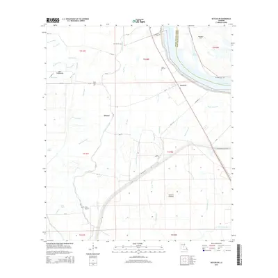
2015 Map of Batchelor
USGS Topo · Published 2015About this map
Batchelor serves as a central hub in this riverbound landscape, where the intricate network of bayous and old river channels defines the geography of Pointe Coupee Parish. This 2015 survey illustrates a region shaped by its proximity to the water, featuring extensive drainage systems like Bayou Latenache and Big Bayou that wind through the lowlands. The importance of the Mississippi's historical path is evident in features such as the Raccourci Old River and the massive Morganza Floodway protecting the lower basin. Small communities and family landmarks are scattered throughout, including New California and Quinton. The local heritage is anchored by several rural sites of worship and rest, such as Lower Latenache Church and Saint Marks Cem, while the Missouri Pacific Railroad provides a structural link to the broader industrial economy of the parish.
Find a feature on this map
60 named features on this map. Tap any name to fly to it.
Don’t see what you’re looking for? This feature index may not catch every label — zoom into the map to look around manually.
Map Details
Editions of this 2015 Batchelor Map
This is the sole edition of this map. No revisions or reprints were ever made.
Other maps of this area

1939 · Fordoche
USGS Topo · 1:62,500

1941 · Batchelor
USGS Topo · 1:62,500

1954 · Baton Rouge
USGS Topo · 1:250,000

1955 · Fordoche
USGS Topo · 1:62,500

1955 · Batchelor
USGS Topo · 1:62,500

1955 · Odenburg
USGS Topo · 1:62,500

1956 · Baton Rouge
USGS Topo · 1:250,000

1959 · Fordoche
USGS Topo · 1:62,500

1959 · Palmetto
USGS Topo · 1:62,500

1961 · Baton Rouge
USGS Topo · 1:250,000