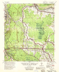
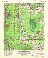
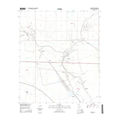
1955 Map of Fordoche
USGS Topo · Published 1955About this map
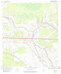
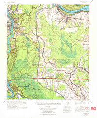
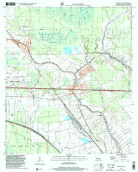
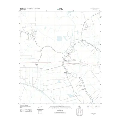
Pointe Coupee Parish's intricate water-driven landscape is defined here by the massive Atchafalaya Basin Floodway and the Morganza Floodway, engineered to manage the volatile flow of the Mississippi River. The map documents a geography of survival and industry, noting historical breach points like the Morganza Crevasse April 1890 and the Melville Crevasse. Between the levees, agricultural history remains visible through established tracts such as Argyle Plantation, Stewart Plantation, and Stonewall Plantation.
Find a feature on this map
86 named features on this map. Tap any name to fly to it.
Don’t see what you’re looking for? This feature index may not catch every label — zoom into the map to look around manually.
Map Details
Editions of this 1955 Fordoche Map
This is the sole edition of this map. No revisions or reprints were ever made.
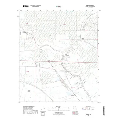
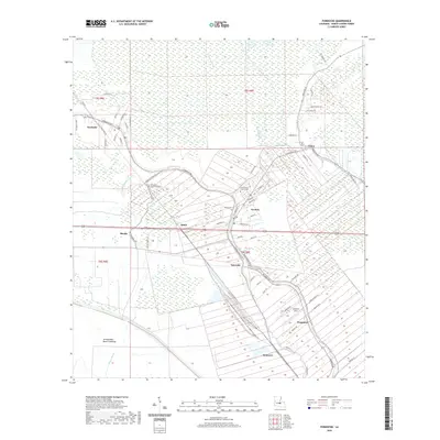
Historical Maps of Melville Through Time
12 maps found
1939 Fordoche
Pointe Coupee Parish, LA
1954 Fordoche
Pointe Coupee Parish, LA
1955 Fordoche
Pointe Coupee Parish, LA
1959 Fordoche
Pointe Coupee Parish, LA
1969 Fordoche
Pointe Coupee Parish, LA
1970 Fordoche
Pointe Coupee Parish, LA
1998 Fordoche
Pointe Coupee Parish, LA
2012 Fordoche
Pointe Coupee Parish, LA
2015 Fordoche
Pointe Coupee Parish, LA
2018 Fordoche
Pointe Coupee Parish, LA
2020 Fordoche
Pointe Coupee Parish, LA
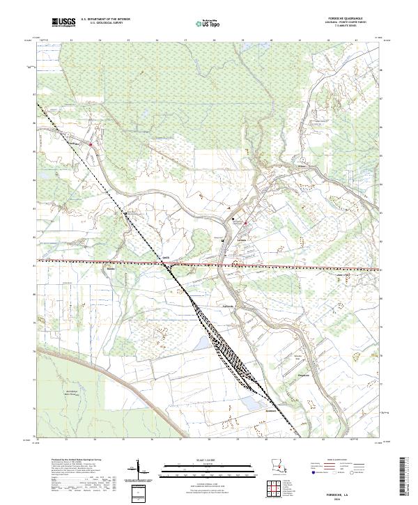
2024 Fordoche
Pointe Coupee Parish, LA