1980s Maps of E Township, Maine
Explore 6 historic maps of E Township from the 1980s. These maps offer a rare glimpse into what life looked like during the 1980s — showing old roads, neighborhoods, homes, and landmarks that have changed or disappeared over time.
Whether you're researching your family's past, planning a metal detecting trip, or studying how E Township's landscape evolved across the 1980s, these high-resolution maps are a powerful tool for exploring the history of this region.
- Focus on a specific era: All maps on this page are from the 1980s, giving you a focused view of this time period.
- See what’s changed: Compare century-old streets, trails, and buildings to today's modern landscape using overlays and satellite layers.
- Research with precision: Use these maps for genealogy, historical research, land use analysis, or educational projects.
- View, download, or print: Maps are fully viewable online in high resolution, and can be downloaded or printed for your own records.
Start exploring E Township's history through authentic maps from the 1980s. This is your window into the past.
E Township, ME maps
(6)- 1981 Map of Brooklin
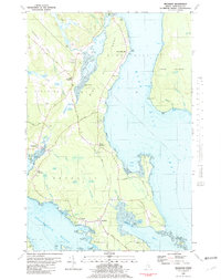 1981 Brooklin1981 Print · USGSCoastal Hancock County is captured here in the early 1980s, showcasing the traditional maritime settlements between Blue Hill Bay and Eggemoggin Reach. Genealogists can trace family names at Pine Grove Cemetery and Freethy Cemetery or explore the docks at Center Harbor.
 - 1984 Map of Echo Lake
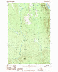 1984 Echo Lake1984 Print · USGSThe Aroostook County highlands come into sharp focus in the mid-1980s, centered on the rugged peaks of the state's first park. Researchers can trace land divisions across Westfield and Chapman, or locate remote spots like Deadmans Corner and Echo Lake.
 - 1984 Map of Packard Lake
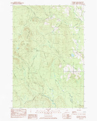 1984 Packard Lake1984 Print · USGSAroostook County's timberlands and river forks are captured here in the mid-1980s. Local researchers can trace old parcel lines like the Cox Patent and explore the surroundings of Packard Lake, Nineteen Mtn, and the Advent Swamp.
 - 1984 Map of Westfield
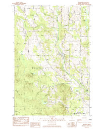 1984 Westfield1984 Print · USGSAroostook County in the early eighties was a landscape of rail-connected settlements and timberland. Genealogists and historians can trace the Bangor and Aroostook rail line, Marshall Cem, and many remote water bodies like Winslow Lake.
 - 1985 Map of Oakfield
 1985 Oakfield1985 Print · USGSAroostook County in the 1980s displays a balance between the timber-and-rail industry and the protected wilderness of the North Woods. Genealogists and local historians can trace family-named hubs like Smyrna Mills, Island Falls, and Knowles Corner along the Bangor and Aroostook railroad line.
 - 1986 Map of Number Nine Lake, 1987 Print
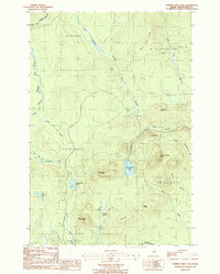 1986 Number Nine Lake1987 Print · USGSAroostook County was a landscape of timber and sporting camps in the 1980s, before modern development further altered the north woods. Map collectors and hikers can trace the rugged topography of Number Nine Mtn and find the locations of remote outposts like Mahan Camp and Finnemore Camp.
End of results
Showing maps 1-6 of 6
Top cities near E Township
- Presque Isle historical maps
- Fort Fairfield historical maps
- Mapleton historical maps
- Mars Hill historical maps
- Easton historical maps
- Littleton historical maps
See more
Frequently asked questions
- What are the different types of historical maps available for E Township?
- What is the oldest map of E Township?
- Where can I purchase historical maps of E Township for my home or office?
- Where can I download high-res historical maps of E Township?
- Are there historical topographic maps available for E Township?
- Is there historical aerial imagery available for E Township?
- Where are historical maps of E Township sourced from?