Old Maps of New Limerick, Maine for Metal Detecting
Plan your next treasure hunt with 40 historic maps of New Limerick. Find old homesites, ghost towns, trails, and gathering spots that may be lost to time — perfect for identifying promising metal detecting locations.
- Locate forgotten sites: Uncover places like long-lost settlements, abandoned rail lines, or gathering spots.
- Plan better hunts: Use map overlays combined with LiDAR or satellite views to narrow in on historically rich areas.
- Made for detectorists: Thousands of hobbyists use these maps to discover relics, coins, and hidden history.
Use these historic maps to boost your research and find new opportunities beneath the surface of New Limerick.
New Limerick, ME maps
(40)- 1937 Map of Smyrna Mills
 1937 Smyrna Mills1937 Print · USGSAroostook County's interior is seen here in the 1930s, defined by the timber and rail economy of Smyrna Mills and Oakfield. Researchers can trace the Bangor and Aroostook RR alongside family landmarks like Walker Settlement and the Oakfield Cem.3 unique versions available
 - 1938 Map of Houlton
 1938 Houlton1938 Print · USGSAroostook County's borderlands are captured here in the late 1930s, showing a landscape of small farming communities and international connections. Researchers can find numerous family-named schoolhouses like Haggerty Sch and trace the rail path of the Canadian Pacific near Littleton Sta.3 unique versions available
 - 1951 Map of Houlton, 1952 Print
 1951 Houlton1952 Print · USGSAroostook County's borderlands are captured here in the early fifties, showing the vital rail and river connections of the international boundary. Genealogists can locate family landmarks like Porter Settlement, Peoples Ch, and numerous rural schoolhouses including Rideout Sch.5 unique versions available
 - 1954 Map of Presque Isle, 1968 Print
 1954 Presque Isle1968 Print · USGSNorth Woods logging and rail history come alive in this mid-century survey of the Maine-Quebec borderlands. Genealogists and historians can trace the Bangor and Aroostook railroad through timber hubs like Ashland, Smyrna Mills, and Presque Isle.2 unique versions available
 - 1955 Map of Smyrna Mills, 1956 Print
 1955 Smyrna Mills1956 Print · USGSSouthern Aroostook County in the mid-fifties was a landscape of timber-lined ridges and rail-connected settlements like Smyrna Mills and Oakfield. Genealogists and historians can trace the footprint of rural life through family-named landmarks like Walker Settlement and schools including Lincoln Sch and McCain Sch.4 unique versions available
 - 1958 Map of Presque Isle
 1958 Presque Isle1958 Print · USGSThe Aroostook timber and potato country is captured here during the late fifties, showing the vital rail-to-river network of Northern Maine. Genealogists and historians can trace the Bangor & Aroostook RR through Mapleton and Ashland, or locate remote sites like Chamberlain Farm and Seven Islands.
 - 1959 Map of Woodstock, 1975 Print
 1959 Woodstock1975 Print · USGSNorthern Maine and New Brunswick meet along the river valleys in the late fifties, showcasing an era of international rail and river commerce. Genealogists can trace family roots through border towns like Woodstock and Houlton, or along the lines of the Bangor & Aroostook railroad.
 - 1960 Map of Presque Isle
 1960 Presque Isle1960 Print · USGSNorthern Maine during the mid-century was a land of timber, rails, and strategic airfields. Genealogists and historians can trace the growth of Presque Isle and Ashland or explore the remote northern reaches of Baxter State Park and Presque Isle AFB.3 unique versions available
 - 1963 Map of Woodstock
 1963 Woodstock1963 Print · USGSThe Maine-New Brunswick borderlands come alive in the early sixties, showing the vital river-and-rail connection between Houlton and Woodstock. Genealogists and historians can trace the paths of the Canadian Pacific RR and locate rural communities like Stickney and Upper Kent.
 - 1975 Map of Houlton SW, 1980 Print
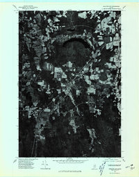 1975 Houlton SW1980 Print · USGSSouthern Aroostook County is seen during the mid-seventies in this detailed orthophoto survey of Maine’s agricultural borderlands. Researchers can trace rural road networks and farmstead clearings around Linneus, New Limerick, and the banks of the Meduxnekeag River.
 - 1975 Map of Smyrna Mills SE, 1980 Print
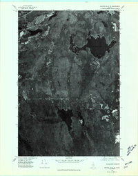 1975 Smyrna Mills SE1980 Print · USGSAroostook County's deep woods and water bodies are captured in this mid-seventies aerial survey. Researchers can trace the timber-rich terrain around Meduxnekeag Lake, Skitaccooke Lake, and the heights of Timoney Mountain.
 - 1975 Map of Houlton NW, 1980 Print
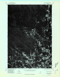 1975 Houlton NW1980 Print · USGSAroostook County's deep woods and agricultural clearings are preserved in this mid-seventies orthophotoquad. Researchers can trace the path of Moose Brook as it winds through a landscape defined by timber harvest patterns and rural property lines.
 - 1975 Map of Smyrna Mills NE, 1980 Print
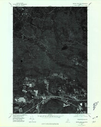 1975 Smyrna Mills NE1980 Print · USGSAroostook County's southern timberlands and farming communities are captured here in the mid-seventies via detailed aerial orthophotography. Trace the rural crossroads of Smyrna Center and Ludlow, or locate shoreline properties on Cochrane Lake.
 - 1984 Map of Twin Brook
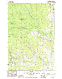 1984 Twin Brook1984 Print · USGSAroostook County's timberlands and rural townships are captured in the early 1980s, showcasing the intersection of small-town borders and northern Maine's waterways. Researchers can locate family landmarks like Ludlow Cem and trace the drainage of Webster Brook through Hammond.
 - 1984 Map of Linneus, 1985 Print
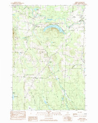 1984 Linneus1985 Print · USGSSouthern Aroostook County is shown here in the mid-1980s, revealing a landscape shaped by timber roads and the winding Meduxnekeag River. Genealogists and local historians can trace family-named sites like Porter Settlement, Adams Mtn, and the roads around New Limerick.
 - 1985 Map of Oakfield
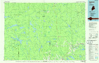 1985 Oakfield1985 Print · USGSAroostook County in the 1980s displays a balance between the timber-and-rail industry and the protected wilderness of the North Woods. Genealogists and local historians can trace family-named hubs like Smyrna Mills, Island Falls, and Knowles Corner along the Bangor and Aroostook railroad line.
 - 1986 Map of Ludlow
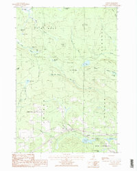 1986 Ludlow1986 Print · USGSNorthern Maine's interior landscape is captured here in the mid-eighties, centered on the rural communities of Ludlow and Smyrna Center. Researchers can trace old family holdings near Long Fellow and locate local landmarks like the Cem and Radio Tower.2 unique versions available
 - 1986 Map of Meduxnekeag Lake
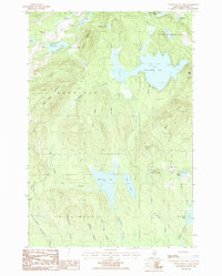 1986 Meduxnekeag Lake1986 Print · USGSAroostook County in the 1980s is mapped here across the townships of Smyrna and New Limerick, showing a landscape defined by glacial lakes and ridges. Genealogists and local historians can locate family landmarks like Bennett, Timoney, and the Cem near the Oakfield Hills.
 - 1993 Map of Houlton
 1993 Houlton1993 Print · USGSThe Maine-New Brunswick borderlands are captured here in the early 1990s, centered on the transit and trade hub of Houlton. Genealogists and historians can trace family-named locales and crossroads like Porter Settlement, Jackson Settlement, and Bridgewater Corner.
 - 1994 Map of Oakfield
 1994 Oakfield1994 Print · USGSAroostook County's North Woods and rural settlements are shown here in the mid-1990s, capturing the region's transition from forest to farmland. Trace the path of the Bangor and Aroostook RR through Smyrna Mills or locate landings on Millinocket Lake.
 - 2011 Map of Twin Brook, 2011 Print
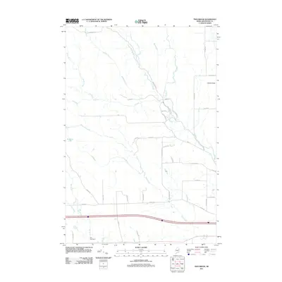 2011 Twin Brook2011 Print · USGSNortheastern Maine's agricultural heartland is documented here just after the first decade of the new millennium. Genealogists and local historians can trace the rural road network and water features like Littleton Ridge, Bradbury Lake, and Pike Pond Dam.
 - 2011 Map of Linneus, 2011 Print
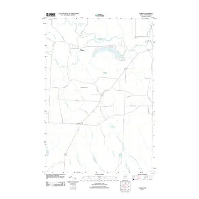 2011 Linneus2011 Print · USGSSouthern Aroostook County’s rural landscape is captured here in the early twenty-first century, centered on the historic settlements of Linneus and New Limerick. Genealogists and local historians can trace family-named routes like McGillicuddy Rd and landmarks including Porter Settlement and Adams Mountain.
 - 2011 Map of Meduxnekeag Lake, 2011 Print
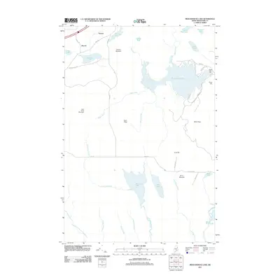 2011 Meduxnekeag Lake2011 Print · USGSAroostook County's lake-strewn forest is captured here in the early twenty-first century, showing the rural road network and logging country south of Linneus. Researchers can locate family landmarks like Timoney and Bennett, or trace the waters from Drews Lake Dam through the many surrounding brooks.
 - 2011 Map of Ludlow, 2011 Print
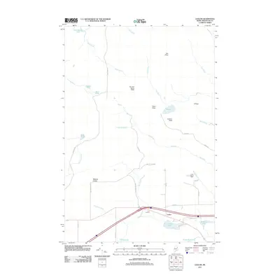 2011 Ludlow2011 Print · USGSAroostook County's rural character is on full display in this early 21st-century record of its settlements and topography. Researchers can trace local heritage at Yerxa Cemetery or explore the geography of Bull Ridge, Cochrane Lake, and the community of Ludlow.
 - 2014 Map of Ludlow, 2014 Print
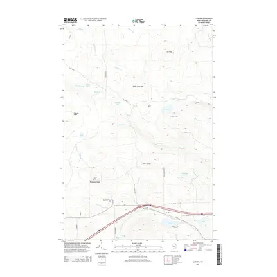 2014 Ludlow2014 Print · USGSAroostook County's rural character is well-preserved in this modern survey of the communities near the Interstate 95 corridor. Genealogists can locate several family and community burial sites, including Stewart Cem, Yerxa Cem, and the Amish Cem.
Showing maps 1-25 of 40
Top cities near New Limerick
- Houlton historical maps
- Hodgdon historical maps
- Littleton historical maps
- Linneus historical maps
- Island Falls historical maps
- Monticello historical maps
See more
Frequently asked questions
- What are the different types of historical maps available for New Limerick?
- What is the oldest map of New Limerick?
- Where can I purchase historical maps of New Limerick for my home or office?
- Where can I download high-res historical maps of New Limerick?
- Are there historical topographic maps available for New Limerick?
- Is there historical aerial imagery available for New Limerick?
- Where are historical maps of New Limerick sourced from?