Old Maps of T12 R17 WELS, Maine for Hiking & Exploration
Hike through history with 38 historic maps of T12 R17 WELS. Explore old trails, ghost towns, and forgotten backroads — perfect for outdoor adventurers and local explorers.
- Rediscover forgotten places: Map out old mining camps, roads, and footpaths that no longer exist on modern maps.
- Layer with modern tools: Combine with LiDAR or satellite views to plan hikes through historical terrain.
- Made for exploration: Popular among hikers, overlanders, and local history lovers.
Use these maps to find adventure and explore the hidden past of T12 R17 WELS.
T12 R17 WELS, ME maps
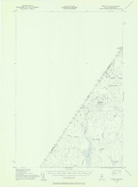
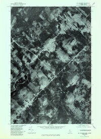
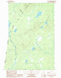
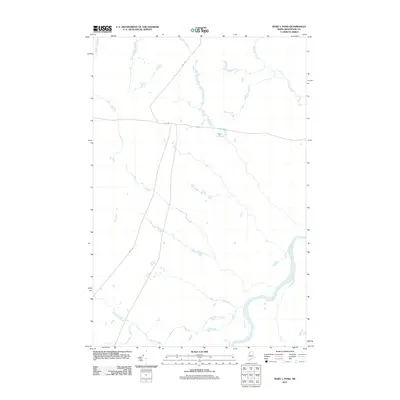
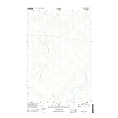
(38)- 1954 Map of Presque Isle, 1968 Print
 1954 Presque Isle1968 Print · USGSNorth Woods logging and rail history come alive in this mid-century survey of the Maine-Quebec borderlands. Genealogists and historians can trace the Bangor and Aroostook railroad through timber hubs like Ashland, Smyrna Mills, and Presque Isle.2 unique versions available
 - 1955 Map of Depot Lake, 1956 Print
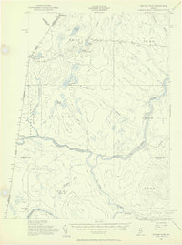
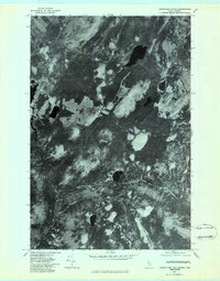
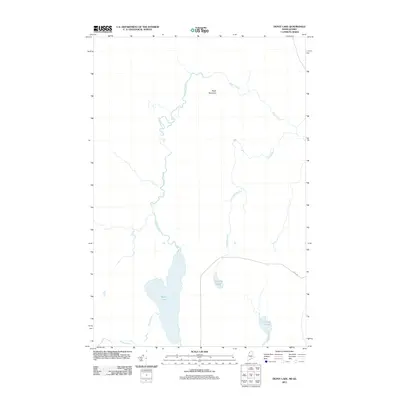
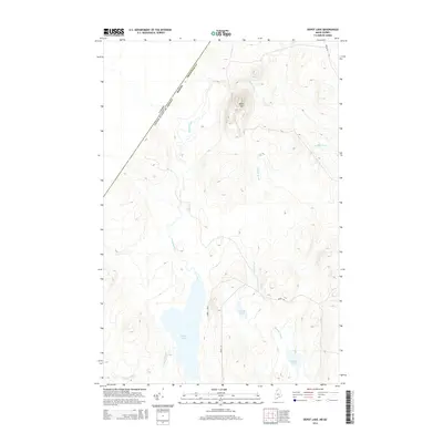
 1955 Depot Lake1956 Print · USGSThe northern Maine borderland in the mid-fifties is captured here, showing a wilderness landscape of timber and trout streams along the Quebec line. Trace old logging routes like California Road past the Forest Service Camp to the Lookout Tower on Depot Mtn.2 unique versions available
 - 1955 Map of Beaver Pond, 1956 Print
 1955 Beaver Pond1956 Print · USGSThe Maine-Quebec borderlands are captured in the mid-fifties, showing a landscape of timber townships and river headwaters. Trace the remote Customs Office on the Daaquam River and the wild drainages of Sugarloaf Mountain.3 unique versions available
 - 1958 Map of Presque Isle
 1958 Presque Isle1958 Print · USGSThe Aroostook timber and potato country is captured here during the late fifties, showing the vital rail-to-river network of Northern Maine. Genealogists and historians can trace the Bangor & Aroostook RR through Mapleton and Ashland, or locate remote sites like Chamberlain Farm and Seven Islands.
 - 1960 Map of Presque Isle
 1960 Presque Isle1960 Print · USGSNorthern Maine during the mid-century was a land of timber, rails, and strategic airfields. Genealogists and historians can trace the growth of Presque Isle and Ashland or explore the remote northern reaches of Baxter State Park and Presque Isle AFB.3 unique versions available
 - 1962 Map of Quebec, 1966 Print
 1962 Quebec1966 Print · USGSThe cross-border region between Quebec and Northern Maine is captured here during the mid-1960s, showing the dense settlement of the St. Lawrence valley and the rugged timberlands of the frontier. Genealogists can trace family roots through numerous parishes like St-Joseph-de-Beauce or locate the industrial hubs of Thetford Mines and Levis.3 unique versions available
 - 1976 Map of Depot Lake, 1983 Print
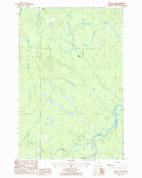
 1976 Depot Lake1983 Print · USGSNorthern Maine and Quebec meet in this 1970s orthophotoquad, showing the deep timberlands and waterways along the international border. Trace the remote landscape of Depot Mountain and the winding waters of Cunliffe Pond and Depot Stream.
 - 1977 Map of St. Adalbert, 1983 Print
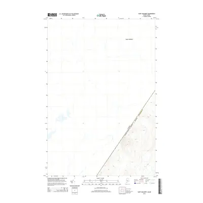
 1977 St. Adalbert1983 Print · USGSThe Quebec-Maine borderlands are captured in this late-seventies aerial survey, showing the deep timber country of the North Woods. Researchers can trace the layout of the settlement at St Adalbert and the network of logging roads as they existed decades ago.
 - 1977 Map of Burntland Pond, 1983 Print
 1977 Burntland Pond1983 Print · USGSThe Maine-Quebec borderlands come into sharp focus in the late seventies, showing a landscape defined by industrial timber tracks and the international line at Frontiere. Researchers can trace remote logging routes and water features like Burntland Pond and the Northwest Branch St John River.
 - 1986 Map of Mary L Pond
 1986 Mary L Pond1986 Print · USGSThe North Maine Woods in the mid-1980s was a landscape of timber management and remote waterways. Trace the network of private roads and isolated landmarks like the Mary L Pond and the Burntland Brook Campsite along the St John River.
 - 1986 Map of Depot Lake
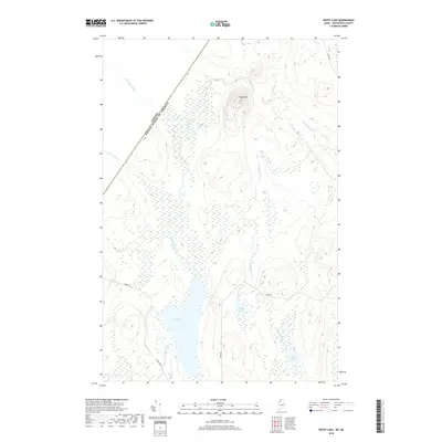
 1986 Depot Lake1986 Print · USGSThe Maine-Quebec borderlands are captured here in the mid-1980s, showing a remote wilderness of timberlands and waterways. Researchers can trace the drainage of Depot Lake into Depot Stream and locate local landmarks like Cunliffe Pond and the Gravel Pit.
 - 1986 Map of Burntland Pond, 1987 Print
 1986 Burntland Pond1987 Print · USGSThe Maine-Quebec borderlands in the mid-1980s are defined here by the remote woods and winding waters of the Northwest Branch St John River. Researchers and outdoorsmen can trace the rugged drainage patterns of Presley Lake, Burntland Pond, and the slopes of Sugarloaf Mountain.
 - 1993 Map of Clayton Lake, 1994 Print
 1993 Clayton Lake1994 Print · USGSThe North Woods along the Maine and Quebec border remained a vast wilderness of timber and water in the early nineties. Researchers can trace historic river crossings and remote outposts like Ninemile Bridge, Saint-Pamphile, and the Harvey Farm.
 - 1993 Map of Montmagny, 1994 Print
 1993 Montmagny1994 Print · USGSThe international borderlands of Maine and Quebec come into focus during the early nineties, from the Saint Lawrence riverfront to the deep North Woods. Researchers can trace historic settlements like Montmagny or follow the remote heights of the Monts Notre-Dame toward Lac Frontière.
 - 2011 Map of Saint Adalbert, 2011 Print
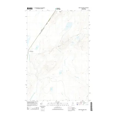
 2011 Saint Adalbert2011 Print · USGSCovers T12 R17 WELS, including Sainte-Lucie-de-Beauregard, T13 R16 WELS, and other nearby areas
 - 2011 Map of Burntland Pond, 2011 Print
 2011 Burntland Pond2011 Print · USGSCovers T12 R17 WELS, including Lac-Frontière, Sainte-Lucie-de-Beauregard, and other nearby areas
 - 2011 Map of Burntland Pond OE W, 2011 Print
 2011 Burntland Pond OE W2011 Print · USGSCovers T12 R17 WELS, including Saint-Just-de-Bretenières, Lac-Frontière, and other nearby areas
 - 2011 Map of Mary L Pond, 2011 Print
 2011 Mary L Pond2011 Print · USGSCovers T12 R17 WELS, including Powers Gore, T12 R16 WELS, and other nearby areas
 - 2011 Map of Depot Lake, 2011 Print
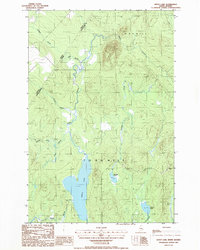
 2011 Depot Lake2011 Print · USGSCovers T12 R17 WELS, including T13 R16 WELS, T12 R16 WELS, and other nearby areas
 - 2014 Map of Saint Adalbert, 2014 Print
 2014 Saint Adalbert2014 Print · USGSCovers T12 R17 WELS, including Sainte-Lucie-de-Beauregard, T13 R16 WELS, and other nearby areas
 - 2014 Map of Burntland Pond, 2014 Print
 2014 Burntland Pond2014 Print · USGSCovers T12 R17 WELS, including Lac-Frontière, Sainte-Lucie-de-Beauregard, and other nearby areas
 - 2014 Map of Mary L Pond, 2014 Print
 2014 Mary L Pond2014 Print · USGSCovers T12 R17 WELS, including Powers Gore, T12 R16 WELS, and other nearby areas
 - 2014 Map of Depot Lake, 2014 Print
 2014 Depot Lake2014 Print · USGSCovers T12 R17 WELS, including T13 R16 WELS, T12 R16 WELS, and other nearby areas
 - 2014 Map of Burntland Pond OE W, 2014 Print
 2014 Burntland Pond OE W2014 Print · USGSCovers T12 R17 WELS, including Saint-Just-de-Bretenières, Lac-Frontière, and other nearby areas
 - 2018 Map of Depot Lake, 2018 Print
 2018 Depot Lake2018 Print · USGSCovers T12 R17 WELS, including T13 R16 WELS, T12 R16 WELS, and other nearby areas
Showing maps 1-25 of 38
Top neighborhoods of T12 R17 WELS
Frequently asked questions
- What are the different types of historical maps available for T12 R17 WELS?
- What is the oldest map of T12 R17 WELS?
- Where can I purchase historical maps of T12 R17 WELS for my home or office?
- Where can I download high-res historical maps of T12 R17 WELS?
- Are there historical topographic maps available for T12 R17 WELS?
- Is there historical aerial imagery available for T12 R17 WELS?
- Where are historical maps of T12 R17 WELS sourced from?