2000s (21st Century) Maps of T15 R10 WELS, Maine
Explore 20 historic maps of T15 R10 WELS from the 2000s (21st Century). These maps offer a rare glimpse into what life looked like during the 2000s — showing old roads, neighborhoods, homes, and landmarks that have changed or disappeared over time.
Whether you're researching your family's past, planning a metal detecting trip, or studying how T15 R10 WELS's landscape evolved across the 2000s, these high-resolution maps are a powerful tool for exploring the history of this region.
- Focus on a specific era: All maps on this page are from the 2000s, giving you a focused view of this time period.
- See what’s changed: Compare century-old streets, trails, and buildings to today's modern landscape using overlays and satellite layers.
- Research with precision: Use these maps for genealogy, historical research, land use analysis, or educational projects.
- View, download, or print: Maps are fully viewable online in high resolution, and can be downloaded or printed for your own records.
Start exploring T15 R10 WELS's history through authentic maps from the 2000s. This is your window into the past.
T15 R10 WELS, ME maps
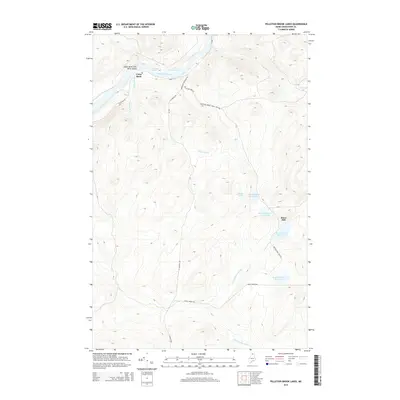
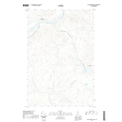
(20)- 2011 Map of Pelletier Brook Lakes, 2011 Print
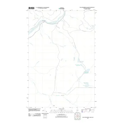 2011 Pelletier Brook Lakes2011 Print · USGSCovers T15 R10 WELS, including Saint Francis, Allagash, and other nearby areas
 - 2011 Map of Allagash, 2011 Print
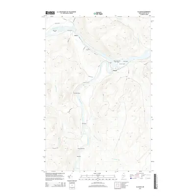
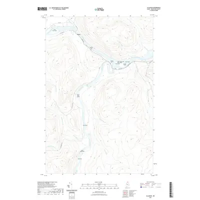
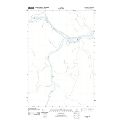 2011 Allagash2011 Print · USGSCovers T15 R10 WELS, including Allagash, T15 R11 WELS, and other nearby areas
 - 2011 Map of Gardner Pond, 2011 Print
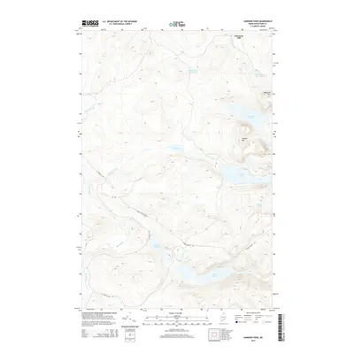
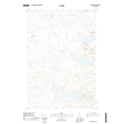
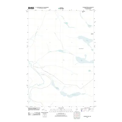 2011 Gardner Pond2011 Print · USGSCovers T15 R10 WELS, including T14 R10 WELS, Wheelock Mill, and other nearby areas
 - 2011 Map of McKeen Lake, 2011 Print
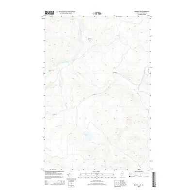
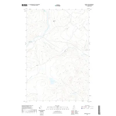
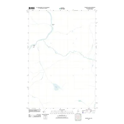 2011 McKeen Lake2011 Print · USGSCovers T15 R10 WELS, including T14 R10 WELS, T15 R11 WELS, and other nearby areas
 - 2014 Map of Pelletier Brook Lakes, 2014 Print
 2014 Pelletier Brook Lakes2014 Print · USGSCovers T15 R10 WELS, including Saint Francis, Allagash, and other nearby areas
 - 2014 Map of Allagash, 2014 Print
 2014 Allagash2014 Print · USGSCovers T15 R10 WELS, including Allagash, T15 R11 WELS, and other nearby areas
 - 2014 Map of Gardner Pond, 2014 Print
 2014 Gardner Pond2014 Print · USGSCovers T15 R10 WELS, including T14 R10 WELS, Wheelock Mill, and other nearby areas
 - 2014 Map of McKeen Lake, 2014 Print
 2014 McKeen Lake2014 Print · USGSCovers T15 R10 WELS, including T14 R10 WELS, T15 R11 WELS, and other nearby areas
 - 2018 Map of Gardner Pond, 2018 Print
 2018 Gardner Pond2018 Print · USGSCovers T15 R10 WELS, including T14 R10 WELS, Wheelock Mill, and other nearby areas
 - 2018 Map of McKeen Lake, 2018 Print
 2018 McKeen Lake2018 Print · USGSCovers T15 R10 WELS, including T14 R10 WELS, T15 R11 WELS, and other nearby areas
 - 2018 Map of Pelletier Brook Lakes, 2018 Print
 2018 Pelletier Brook Lakes2018 Print · USGSCovers T15 R10 WELS, including Saint Francis, Allagash, and other nearby areas
 - 2018 Map of Allagash, 2018 Print
 2018 Allagash2018 Print · USGSCovers T15 R10 WELS, including Allagash, T15 R11 WELS, and other nearby areas
 - 2021 Map of Pelletier Brook Lakes, 2021 Print
 2021 Pelletier Brook Lakes2021 Print · USGSCovers T15 R10 WELS, including Saint Francis, Allagash, and other nearby areas
 - 2021 Map of Gardner Pond, 2021 Print
 2021 Gardner Pond2021 Print · USGSCovers T15 R10 WELS, including T14 R10 WELS, Wheelock Mill, and other nearby areas
 - 2021 Map of McKeen Lake, 2021 Print
 2021 McKeen Lake2021 Print · USGSCovers T15 R10 WELS, including T14 R10 WELS, T15 R11 WELS, and other nearby areas
 - 2021 Map of Allagash, 2021 Print
 2021 Allagash2021 Print · USGSCovers T15 R10 WELS, including Allagash, T15 R11 WELS, and other nearby areas
 - 2024 Map of Pelletier Brook Lakes, 2024 Print
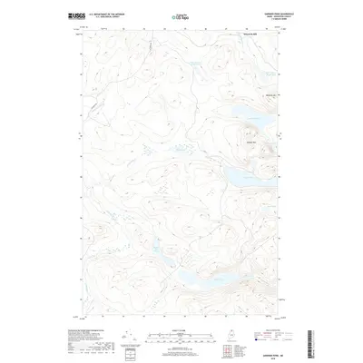
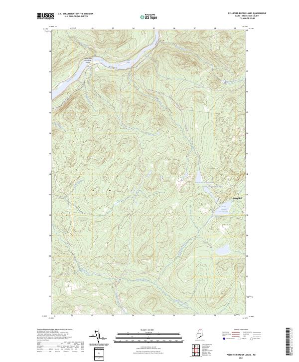 2024 Pelletier Brook Lakes2024 Print · USGSIn the northern Maine woods of the twenty-first century, this landscape remains defined by its river rapids and timber heritage. Researchers can trace historic transport routes like the Pelletier Brook-Lakes Tote Rd and locate landmarks like Jones Mill and Black Lake.
 - 2024 Map of Allagash, 2024 Print
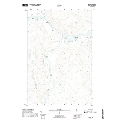
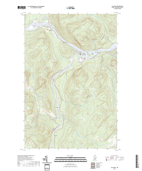 2024 Allagash2024 Print · USGSThe northern Maine wilderness comes into focus at the confluence of the St. John and Allagash rivers in this contemporary survey. Genealogists and historians can locate the riverside settlement of Dickey, the Allagash Municipal Cem, and numerous river bars like Ghost Landing Bar.
 - 2024 Map of Gardner Pond, 2024 Print
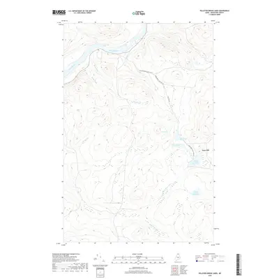
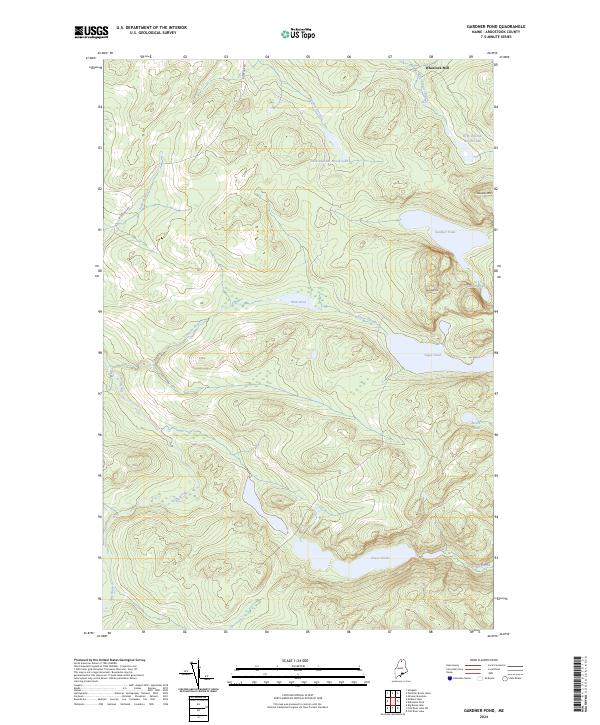 2024 Gardner Pond2024 Print · USGSThe North Maine Woods in the early twenty-first century remains a landscape of high peaks and secluded glacial lakes. Researchers can trace the timber and water network from Wheelock Mill across the slopes of Deboullie Mtn to the remote waters of Galilee Pond.
 - 2024 Map of McKeen Lake, 2024 Print
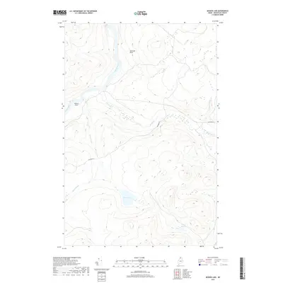
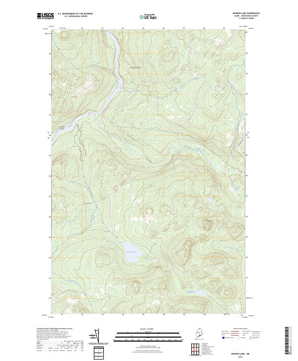 2024 McKeen Lake2024 Print · USGSThe wilderness of northern Maine's Aroostook County is preserved here in the modern era along the Allagash Wild and Scenic River. Researchers can trace the river's path past Five Finger Rapids and McKeen Island or locate remote McKeen Lake.
End of results
Showing maps 1-20 of 20
Top cities near T15 R10 WELS
Frequently asked questions
- What are the different types of historical maps available for T15 R10 WELS?
- What is the oldest map of T15 R10 WELS?
- Where can I purchase historical maps of T15 R10 WELS for my home or office?
- Where can I download high-res historical maps of T15 R10 WELS?
- Are there historical topographic maps available for T15 R10 WELS?
- Is there historical aerial imagery available for T15 R10 WELS?
- Where are historical maps of T15 R10 WELS sourced from?