Old Maps of T18 R10 WELS, Maine for Academic Research
Study the evolution of T18 R10 WELS with 27 high-resolution historic maps. Whether you're teaching, researching, or modeling changes in land use, these maps provide essential visual documentation of urban, environmental, and geographic change.
- Analyze long-term change: Track patterns in development, transportation, and natural features.
- Ideal for environmental or urban studies: Support academic projects with primary historical map data.
- Use in the classroom or lab: Educators and researchers rely on these maps to bring historical context to life.
These maps are a powerful tool for teaching, research, and visualizing how T18 R10 WELS has changed over the decades.
T18 R10 WELS, ME maps
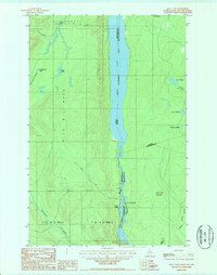
(27)- 1930 Map of Allagash
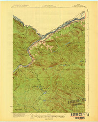
 1930 Allagash1930 Print · USGSThe northern Maine frontier at the turn of the 1930s was a landscape of remote river settlements and deep woods. Genealogists and historians can trace family locations along the St John River at Dickey, and find community landmarks like St Paul Ch and Henderson Sch.4 unique versions available
 - 1930 Map of St Francis
 1930 St Francis1930 Print · USGSThe Maine-Canada borderland comes alive in the early thirties as a hub of rail-and-river activity along the St John River. Genealogists and researchers can trace family lands near St Francis, local schoolhouses like Harding Sch, and logging sites like Saucier Camp.5 unique versions available
 - 1933 Map of Allagash
 1933 Allagash1933 Print · USGSThe northern Maine borderlands come alive in this early 1930s survey of the river confluences near Dickey. Genealogists and historians can trace the locations of the Log Cabin Sch, Kelly Sch, and landings like Boat Landing Camp along the wild rapids of the Allagash River.3 unique versions available
 - 1933 Map of St Francis
 1933 St Francis1933 Print · USGSThe northern reaches of Aroostook County are captured here in the 1930s, showing the border settlements along the St John River. Genealogists and local historians can trace family locations near St Francis, the Bangor and Aroostook rail line, and the McKinley Sch.3 unique versions available
 - 1955 Map of Beau Lake, 1956 Print
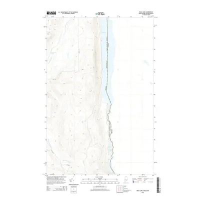
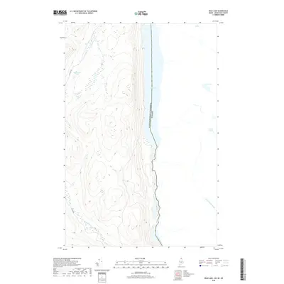
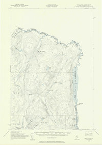 1955 Beau Lake1956 Print · USGSThe Aroostook County borderlands are shown in the mid-fifties at the transition between Maine and Quebec. Researchers can trace the international line through Estcourt, locate the Customs Office, and follow old logging routes past Beau Lake and Kelly Rapids.2 unique versions available
 - 1962 Map of Edmundston, 1966 Print
 1962 Edmundston1966 Print · USGSThe international borderlands of northern Maine and Canada come alive here during the early sixties, centered on the river-and-rail economies of the day. Genealogists and historians can trace the paths of the Bangor and Aroostook railroad through river towns like Fort Kent and St Agatha.2 unique versions available
 - 1975 Map of St Francis NW, 1981 Print
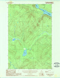
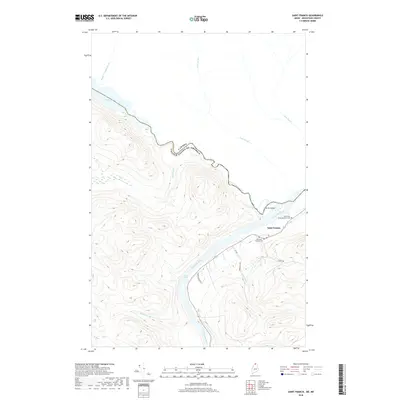
 1975 St Francis NW1981 Print · USGSThe northern Maine borderlands come into sharp focus in the mid-seventies, showing the rugged intersection of the river and the forest. Trace the settlement of St Francis along the St. John River where the border meets New Brunswick.
 - 1985 Map of St. Francis, 1986 Print
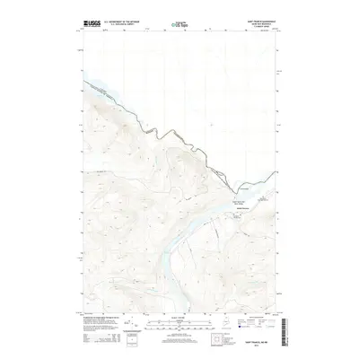
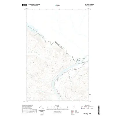
 1985 St. Francis1986 Print · USGSThe northern Maine borderlands near the mid-1980s are defined here by the meeting of the St John River and the St Francis River. Genealogists and local historians can trace the settlement at St Francis, locate the riverfront Cem, and follow the old Railroad grade through Rankin.
 - 1987 Map of Beau Lake
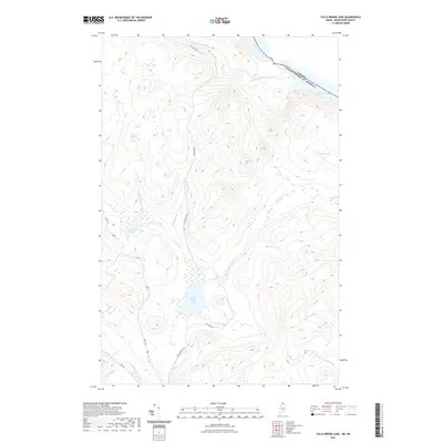
 1987 Beau Lake1987 Print · USGSThe northern reaches of the Maine-Canada border are defined by the winding Beau Lake St Francis River in the late eighties. Researchers can trace the wild landscape of the St. John Valley through landmarks like Cross Lake Mountain and Cross Lake Rapids.
 - 1987 Map of Falls Brook Lake
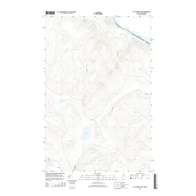
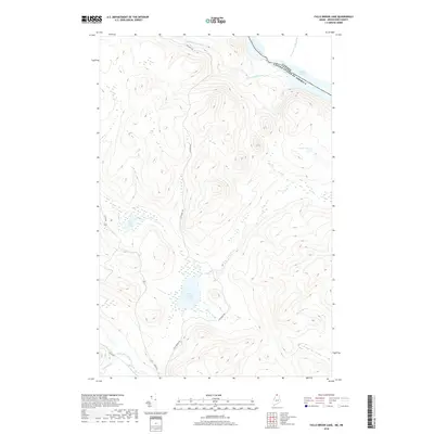
 1987 Falls Brook Lake1987 Print · USGSThe international border along the St Francis River is captured in the late 1980s, documenting a remote stretch of the North Woods. Researchers can trace timber-access routes and isolated landmarks like Falls Brook Lake, Glazier Lake, and the Gravel Pit.
 - 1993 Map of Allagash, 1994 Print
 1993 Allagash1994 Print · USGSThe Maine-Quebec borderlands in the early nineties show a landscape of deep timber and international riverways. Researchers can trace the remote settlements of Allagash and Dickey or locate historic river features like Castonia Rapids and Beau Lake.
 - 1994 Map of Madawaska
 1994 Madawaska1994 Print · USGSThe St John Valley in the 1990s remained a unique cultural crossroads of Maine and New Brunswick, centered on the river and the rails. Genealogists and historians can trace family-named settlements like Violette Settlement or explore the shores of Eagle Lake and Long Lake.
 - 2011 Map of Saint Francis, 2011 Print
 2011 Saint Francis2011 Print · USGSCovers T18 R10 WELS, including Saint Francis, Allagash, and other nearby areas
 - 2011 Map of Falls Brook Lake, 2011 Print
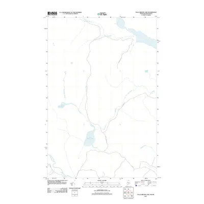 2011 Falls Brook Lake2011 Print · USGSCovers T18 R10 WELS, including Allagash, T18 R11 WELS, and other nearby areas
 - 2011 Map of Beau Lake, 2011 Print
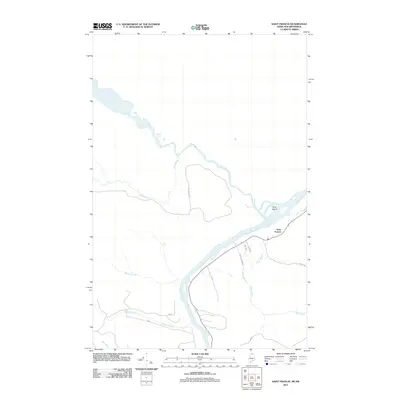
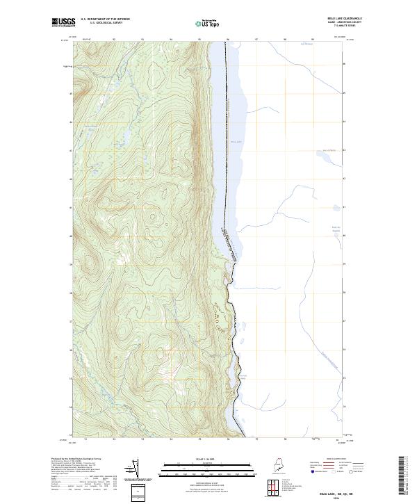
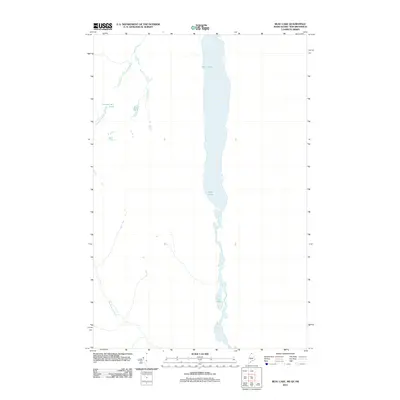 2011 Beau Lake2011 Print · USGSCovers T18 R10 WELS, including Big Twenty Township, T18 R11 WELS, and other nearby areas
 - 2014 Map of Beau Lake, 2014 Print
 2014 Beau Lake2014 Print · USGSCovers T18 R10 WELS, including Big Twenty Township, T18 R11 WELS, and other nearby areas
 - 2014 Map of Falls Brook Lake, 2014 Print
 2014 Falls Brook Lake2014 Print · USGSCovers T18 R10 WELS, including Allagash, T18 R11 WELS, and other nearby areas
 - 2014 Map of Saint Francis, 2014 Print
 2014 Saint Francis2014 Print · USGSCovers T18 R10 WELS, including Saint Francis, Allagash, and other nearby areas
 - 2018 Map of Saint Francis, 2018 Print
 2018 Saint Francis2018 Print · USGSCovers T18 R10 WELS, including Saint Francis, Allagash, and other nearby areas
 - 2018 Map of Falls Brook Lake, 2018 Print
 2018 Falls Brook Lake2018 Print · USGSCovers T18 R10 WELS, including Allagash, T18 R11 WELS, and other nearby areas
 - 2018 Map of Beau Lake, 2018 Print
 2018 Beau Lake2018 Print · USGSCovers T18 R10 WELS, including Big Twenty Township, T18 R11 WELS, and other nearby areas
 - 2021 Map of Saint Francis, 2021 Print
 2021 Saint Francis2021 Print · USGSCovers T18 R10 WELS, including Saint Francis, Allagash, and other nearby areas
 - 2021 Map of Falls Brook Lake, 2021 Print
 2021 Falls Brook Lake2021 Print · USGSCovers T18 R10 WELS, including Allagash, T18 R11 WELS, and other nearby areas
 - 2021 Map of Beau Lake, 2021 Print
 2021 Beau Lake2021 Print · USGSCovers T18 R10 WELS, including Big Twenty Township, T18 R11 WELS, and other nearby areas
 - 2024 Map of Beau Lake, 2024 Print
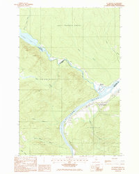
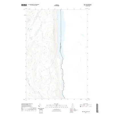
 2024 Beau Lake2024 Print · USGSThe northern Maine frontier and the Canadian border meet along the deep waters of the Saint Francis River in this modern topographical survey. Researchers can trace the international boundary through Beau Lake and Cross Lake Rapids or locate remote landmarks like Yanketuladi Pond.
Showing maps 1-25 of 27
Top cities near T18 R10 WELS
Frequently asked questions
- What are the different types of historical maps available for T18 R10 WELS?
- What is the oldest map of T18 R10 WELS?
- Where can I purchase historical maps of T18 R10 WELS for my home or office?
- Where can I download high-res historical maps of T18 R10 WELS?
- Are there historical topographic maps available for T18 R10 WELS?
- Is there historical aerial imagery available for T18 R10 WELS?
- Where are historical maps of T18 R10 WELS sourced from?