
1930 Map of St Francis
USGS Topo · Published 1930About this map
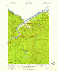
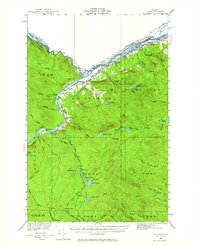
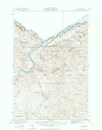
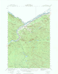
The St John River forms a winding international boundary in this 1930 survey, separating Aroostook County from New Brunswick. The settlement of St Francis serves as a focal point where the Bangor and Aroostook RR terminates, supporting a timber-driven economy evidenced by Wheelock Mill and Michaud Mill. The interior is characterized by a dense network of logging camps and family-named landmarks, such as Saucier Camp and Jones Camp, nestled among a complex system of waterways including the Little Black River and the string of First, Second, Third, and Fourth Lake.
Find a feature on this map
54 named features on this map. Tap any name to fly to it.
Don’t see what you’re looking for? This feature index may not catch every label — zoom into the map to look around manually.
Map Details
Editions of this 1930 St Francis Map
5 editions found
Other maps of this area

1928 · Eagle Lake
USGS Topo · 1:48,000

1928 · Winterville
USGS Topo · 1:48,000

1930 · Allagash
USGS Topo · 1:48,000

1931 · Fish River Lake
USGS Topo · 1:48,000

1931 · Eagle Lake
USGS Topo · 1:62,500

1931 · Winterville
USGS Topo · 1:62,500

1932 · Fort Kent
USGS Topo · 1:48,000

1932 · Allagash Falls
USGS Topo · 1:48,000

1933 · Allagash
USGS Topo · 1:62,500

1933 · St Francis
USGS Topo · 1:62,500