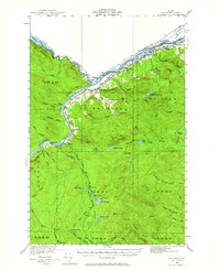
1930 Map of St. Francis
USGS Topo · Published 1964About this map
The confluence of the St John River and the St Francis River forms a critical segment of the international boundary between Maine and Canada, as surveyed in 1930. The river economy of northern Aroostook County is evident through the path of the Bangor and Aroostook railroad, which follows the southern bank to serve the settlement of St Francis. Further south, the landscape is defined by vast timberlands and remote outposts like Soucier Camp and Jones Camp, connected by rugged tote roads used for logging operations. Local community life at the time centered around small rural institutions, including the Lincoln Sch and McKinley Sch. The topography reveals a network of rapids and brooks, such as Rankin Rapids and Golden Rapids, which dictated the movement of goods and people before modern infrastructure reached this frontier region. Notable landmarks like McLean Mtn and Hunnewell Lake punctuate the heavily forested townships.
Find a feature on this map
71 named features on this map. Tap any name to fly to it.
Don’t see what you’re looking for? This feature index may not catch every label — zoom into the map to look around manually.
Map Details
Editions of this 1930 St. Francis Map
5 editions found
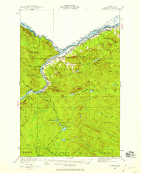
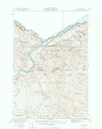
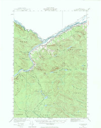
Other maps of this area

1928 · Eagle Lake
USGS Topo · 1:48,000

1928 · Winterville
USGS Topo · 1:48,000

1930 · Allagash
USGS Topo · 1:48,000

1930 · St Francis
USGS Topo · 1:48,000

1931 · Fish River Lake
USGS Topo · 1:48,000

1931 · Eagle Lake
USGS Topo · 1:62,500

1931 · Winterville
USGS Topo · 1:62,500

1932 · Fort Kent
USGS Topo · 1:48,000

1932 · Allagash Falls
USGS Topo · 1:48,000

1933 · Allagash
USGS Topo · 1:62,500