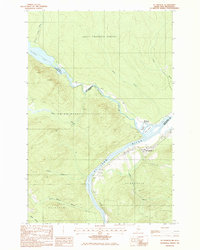
1985 Map of St. Francis
USGS Topo · Published 1986About this map
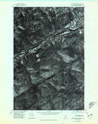
St Francis sits at the northern edge of the Maine woods, where the confluence of the St Francis River and the St John River defines the international boundary between the United States and Canada. This 1980s-era topographic study captures the riverfront settlement and the thin corridor of development along the valley floor, including a Railroad line and a local Cem (cemetery). The landscape is dominated by heavy timberlands and numerous drainage systems like Rankin Brook and Musket Brook flowing toward the main channels. On the New Brunswick side, the map details Saint Francois Parish, while the Maine side includes portions of Allagash. Notable islands such as Grew Island and Kendall Island sit near the Mouth of St Francis, marking the shift from the narrow river valley to the broader waters of Glasier Lake to the northwest.
Find a feature on this map
28 named features on this map. Tap any name to fly to it.
Don’t see what you’re looking for? This feature index may not catch every label — zoom into the map to look around manually.
Map Details
Editions of this 1985 St. Francis Map
This is the sole edition of this map. No revisions or reprints were ever made.
Other maps of this area

1930 · Allagash
USGS Topo · 1:48,000

1930 · St Francis
USGS Topo · 1:48,000

1933 · Allagash
USGS Topo · 1:62,500

1933 · St Francis
USGS Topo · 1:62,500

1955 · Beau Lake
USGS Topo · 1:62,500

1962 · Edmundston
USGS Topo · 1:250,000
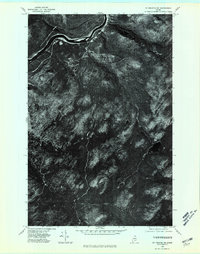
1975 · St Francis SW
USGS Topo · 1:24,000
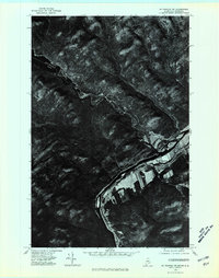
1975 · St Francis NW
USGS Topo · 1:24,000
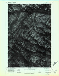
1975 · St Francis SE
USGS Topo · 1:24,000
1975 · St Francis NE
USGS Topo · 1:24,000