Old Maps of T18 R11 WELS, Maine for Metal Detecting
Plan your next treasure hunt with 29 historic maps of T18 R11 WELS. Find old homesites, ghost towns, trails, and gathering spots that may be lost to time — perfect for identifying promising metal detecting locations.
- Locate forgotten sites: Uncover places like long-lost settlements, abandoned rail lines, or gathering spots.
- Plan better hunts: Use map overlays combined with LiDAR or satellite views to narrow in on historically rich areas.
- Made for detectorists: Thousands of hobbyists use these maps to discover relics, coins, and hidden history.
Use these historic maps to boost your research and find new opportunities beneath the surface of T18 R11 WELS.
T18 R11 WELS, ME maps
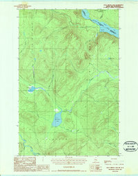
(29)- 1930 Map of Allagash
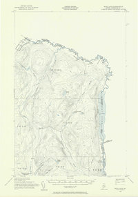
 1930 Allagash1930 Print · USGSThe northern Maine frontier at the turn of the 1930s was a landscape of remote river settlements and deep woods. Genealogists and historians can trace family locations along the St John River at Dickey, and find community landmarks like St Paul Ch and Henderson Sch.4 unique versions available
 - 1933 Map of Allagash
 1933 Allagash1933 Print · USGSThe northern Maine borderlands come alive in this early 1930s survey of the river confluences near Dickey. Genealogists and historians can trace the locations of the Log Cabin Sch, Kelly Sch, and landings like Boat Landing Camp along the wild rapids of the Allagash River.3 unique versions available
 - 1955 Map of Beau Lake, 1956 Print
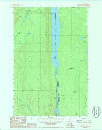
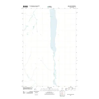
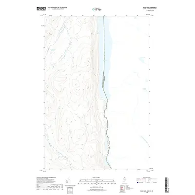
 1955 Beau Lake1956 Print · USGSThe Aroostook County borderlands are shown in the mid-fifties at the transition between Maine and Quebec. Researchers can trace the international line through Estcourt, locate the Customs Office, and follow old logging routes past Beau Lake and Kelly Rapids.2 unique versions available
 - 1962 Map of Edmundston, 1966 Print
 1962 Edmundston1966 Print · USGSThe international borderlands of northern Maine and Canada come alive here during the early sixties, centered on the river-and-rail economies of the day. Genealogists and historians can trace the paths of the Bangor and Aroostook railroad through river towns like Fort Kent and St Agatha.2 unique versions available
 - 1987 Map of Beau Lake
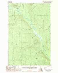
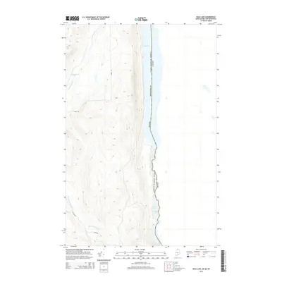
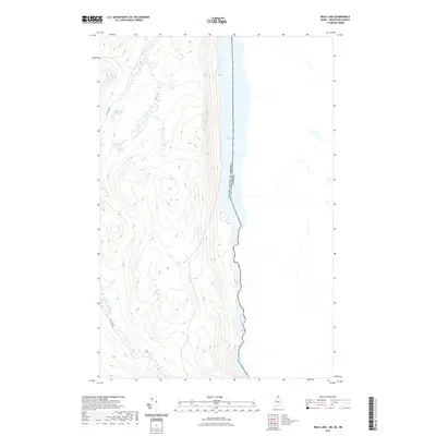
 1987 Beau Lake1987 Print · USGSThe northern reaches of the Maine-Canada border are defined by the winding Beau Lake St Francis River in the late eighties. Researchers can trace the wild landscape of the St. John Valley through landmarks like Cross Lake Mountain and Cross Lake Rapids.
 - 1987 Map of Johnson Brook Mountain
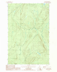
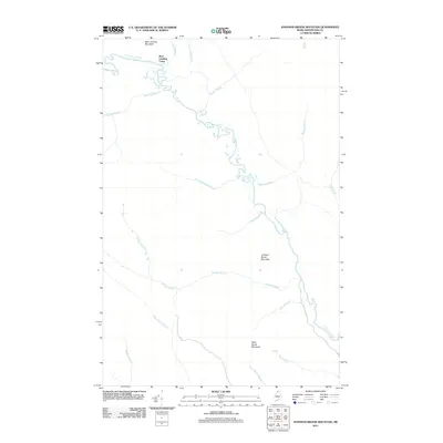
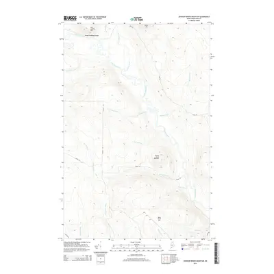
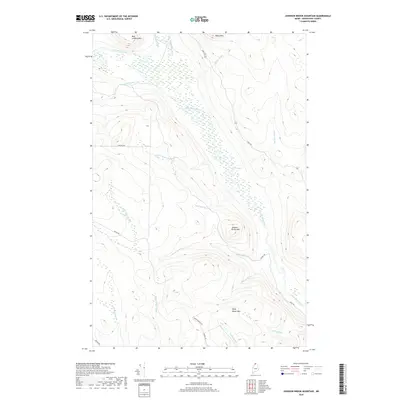
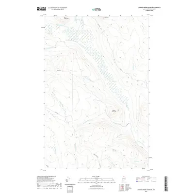
 1987 Johnson Brook Mountain1987 Print · USGSThe Aroostook County wilderness in the late eighties remained a landscape of timberlands and winding waterways. Follow the Little Black River past Boat Landing Camp and through the heights of Johnson Brook Mountain and Kelly Brook Mountain.
 - 1987 Map of Hafey Pond
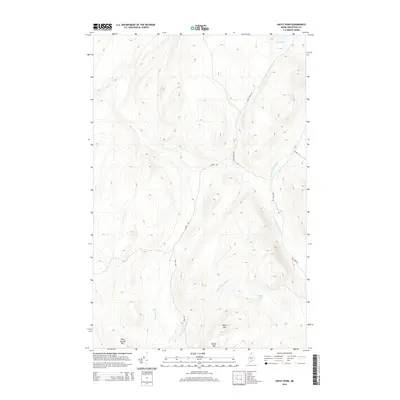
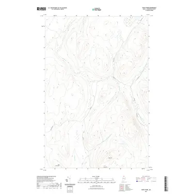
 1987 Hafey Pond1987 Print · USGSAroostook County's timberlands are shown in the late twentieth century as a landscape of resource extraction and remote water bodies. Researchers can trace forest access routes and geographic landmarks like Hafey Pond, Boat Landing Mountain, and a local Gravel Pit.
 - 1987 Map of Falls Brook Lake
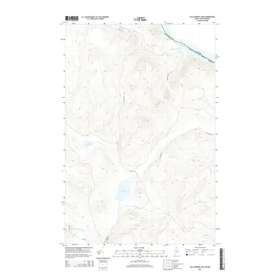
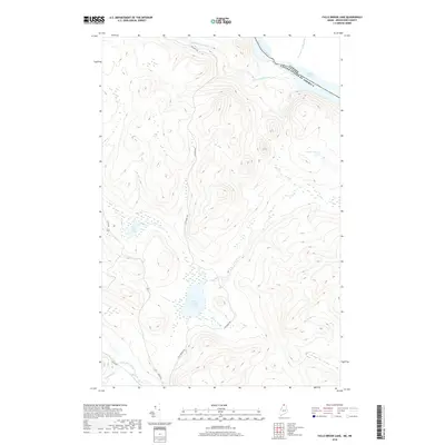
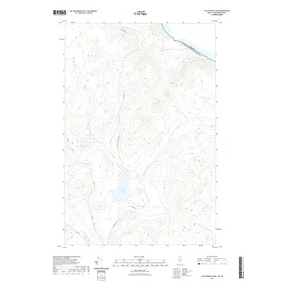
 1987 Falls Brook Lake1987 Print · USGSThe international border along the St Francis River is captured in the late 1980s, documenting a remote stretch of the North Woods. Researchers can trace timber-access routes and isolated landmarks like Falls Brook Lake, Glazier Lake, and the Gravel Pit.
 - 1993 Map of Allagash, 1994 Print
 1993 Allagash1994 Print · USGSThe Maine-Quebec borderlands in the early nineties show a landscape of deep timber and international riverways. Researchers can trace the remote settlements of Allagash and Dickey or locate historic river features like Castonia Rapids and Beau Lake.
 - 2011 Map of Hafey Pond, 2011 Print
 2011 Hafey Pond2011 Print · USGSCovers T18 R11 WELS, including Big Twenty Township, T19 R12 WELS, and other nearby areas
 - 2011 Map of Falls Brook Lake, 2011 Print
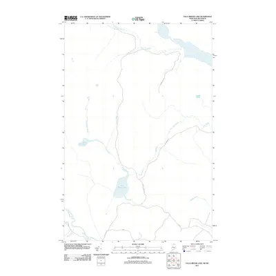 2011 Falls Brook Lake2011 Print · USGSCovers T18 R11 WELS, including Allagash, T18 R10 WELS, and other nearby areas
 - 2011 Map of Beau Lake, 2011 Print
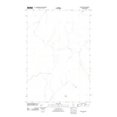
 2011 Beau Lake2011 Print · USGSCovers T18 R11 WELS, including Big Twenty Township, Rivière-Bleue, and other nearby areas
 - 2011 Map of Johnson Brook Mountain, 2011 Print
 2011 Johnson Brook Mountain2011 Print · USGSCovers T18 R11 WELS, including Allagash, T18 R12 WELS, and other nearby areas
 - 2014 Map of Beau Lake, 2014 Print
 2014 Beau Lake2014 Print · USGSCovers T18 R11 WELS, including Big Twenty Township, Rivière-Bleue, and other nearby areas
 - 2014 Map of Falls Brook Lake, 2014 Print
 2014 Falls Brook Lake2014 Print · USGSCovers T18 R11 WELS, including Allagash, T18 R10 WELS, and other nearby areas
 - 2014 Map of Johnson Brook Mountain, 2014 Print
 2014 Johnson Brook Mountain2014 Print · USGSCovers T18 R11 WELS, including Allagash, T18 R12 WELS, and other nearby areas
 - 2014 Map of Hafey Pond, 2014 Print
 2014 Hafey Pond2014 Print · USGSCovers T18 R11 WELS, including Big Twenty Township, T19 R12 WELS, and other nearby areas
 - 2018 Map of Falls Brook Lake, 2018 Print
 2018 Falls Brook Lake2018 Print · USGSCovers T18 R11 WELS, including Allagash, T18 R10 WELS, and other nearby areas
 - 2018 Map of Hafey Pond, 2018 Print
 2018 Hafey Pond2018 Print · USGSCovers T18 R11 WELS, including Big Twenty Township, T19 R12 WELS, and other nearby areas
 - 2018 Map of Beau Lake, 2018 Print
 2018 Beau Lake2018 Print · USGSCovers T18 R11 WELS, including Big Twenty Township, Rivière-Bleue, and other nearby areas
 - 2018 Map of Johnson Brook Mountain, 2018 Print
 2018 Johnson Brook Mountain2018 Print · USGSCovers T18 R11 WELS, including Allagash, T18 R12 WELS, and other nearby areas
 - 2021 Map of Falls Brook Lake, 2021 Print
 2021 Falls Brook Lake2021 Print · USGSCovers T18 R11 WELS, including Allagash, T18 R10 WELS, and other nearby areas
 - 2021 Map of Hafey Pond, 2021 Print
 2021 Hafey Pond2021 Print · USGSCovers T18 R11 WELS, including Big Twenty Township, T19 R12 WELS, and other nearby areas
 - 2021 Map of Beau Lake, 2021 Print
 2021 Beau Lake2021 Print · USGSCovers T18 R11 WELS, including Big Twenty Township, Rivière-Bleue, and other nearby areas
 - 2021 Map of Johnson Brook Mountain, 2021 Print
 2021 Johnson Brook Mountain2021 Print · USGSCovers T18 R11 WELS, including Allagash, T18 R12 WELS, and other nearby areas
Showing maps 1-25 of 29
Top cities near T18 R11 WELS
Frequently asked questions
- What are the different types of historical maps available for T18 R11 WELS?
- What is the oldest map of T18 R11 WELS?
- Where can I purchase historical maps of T18 R11 WELS for my home or office?
- Where can I download high-res historical maps of T18 R11 WELS?
- Are there historical topographic maps available for T18 R11 WELS?
- Is there historical aerial imagery available for T18 R11 WELS?
- Where are historical maps of T18 R11 WELS sourced from?