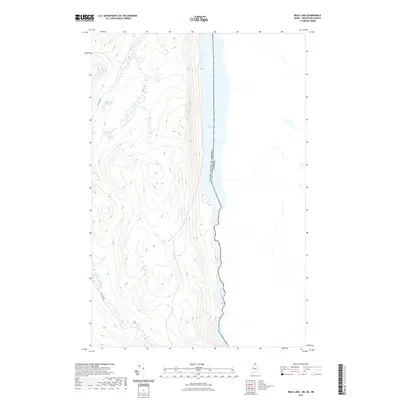
2021 Map of Beau Lake
USGS Topo · Published 2021About this map
The United States of America Canada international boundary cuts directly through this remote northern landscape, dividing the waters of Beau Lake and the Saint Francis River. This frontier terrain in Big Twenty Township is defined by its deep isolation and hydrographic features, including the Cross Lake Rapids at the southern end of the lake. Logging and wilderness access are represented by Estcourt Rd, which winds through the western hills toward Jones Brook. The topographic detail reveals a series of high ridges overlooking the water, with smaller interior features such as Yankeetuladi Pond and its namesake, Yankeetuladi Brook, drainage into the international river system. The map serves as a contemporary record of the shifting shoreline and elevations along this sparsely populated border region in the early twenty-first century.
Find a feature on this map
8 named features on this map. Tap any name to fly to it.
Don’t see what you’re looking for? This feature index may not catch every label — zoom into the map to look around manually.
Map Details
Editions of this 2021 Beau Lake Map
This is the sole edition of this map. No revisions or reprints were ever made.
Other maps of this area

1930 · Allagash
USGS Topo · 1:48,000

1930 · St Francis
USGS Topo · 1:48,000

1933 · Allagash
USGS Topo · 1:62,500

1933 · St Francis
USGS Topo · 1:62,500

1955 · Beau Lake
USGS Topo · 1:62,500

1962 · Edmundston
USGS Topo · 1:250,000
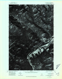
1975 · St Francis NW
USGS Topo · 1:24,000
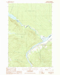
1985 · St. Francis
USGS Topo · 1:24,000
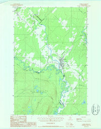
1986 · Landry
USGS Topo · 1:24,000

1987 · Beau Lake
USGS Topo · 1:24,000