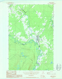
1986 Map of Landry
USGS Topo · Published 1987About this map
The St Francis River forms a winding international boundary in this northern Maine and Quebec frontier during the mid-1980s. The landscape is defined by its binational character, where the settlement of Landry and the Big Twenty township of Aroostook County meet the Canadian municipalities of Rivière-Bleue and Saint-Elzéar-de-Témiscouata. This survey illustrates the intricate water network feeding the border, including the Petite Rivière Bleue and various small streams like Cours d'eau Bérubé and Ruiss Botsford. Cultural and economic activity is clustered around the river crossings and rail lines, with sites like the Terrain d'aviation and the Kelly Rapids serving as notable landmarks. The map documents a sparsely populated but geographically significant timber and water corridor where Maine and Québec share a complex physical and political geography.
Find a feature on this map
36 named features on this map. Tap any name to fly to it.
Don’t see what you’re looking for? This feature index may not catch every label — zoom into the map to look around manually.
Map Details
Editions of this 1986 Landry Map
This is the sole edition of this map. No revisions or reprints were ever made.
Other maps of this area

1955 · Beau Lake
USGS Topo · 1:62,500

1962 · Edmundston
USGS Topo · 1:250,000

1987 · Beau Lake
USGS Topo · 1:24,000

1987 · Hafey Pond
USGS Topo · 1:24,000
1987 · Estcourt
USGS Topo · 1:24,000
1993 · Allagash
USGS Topo · 1:100,000
1994 · Madawaska
USGS Topo · 1:100,000
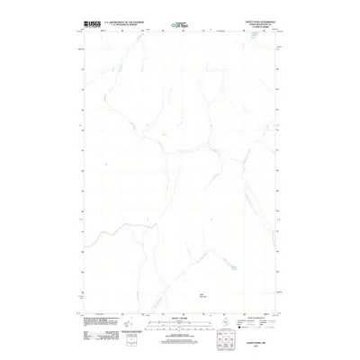
2011 · Hafey Pond
USGS Topo · 1:24,000
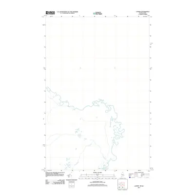
2011 · Landry
USGS Topo · 1:24,000
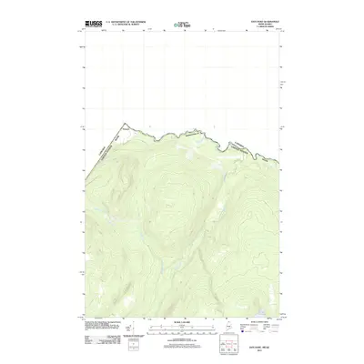
2011 · Estcourt
USGS Topo · 1:24,000