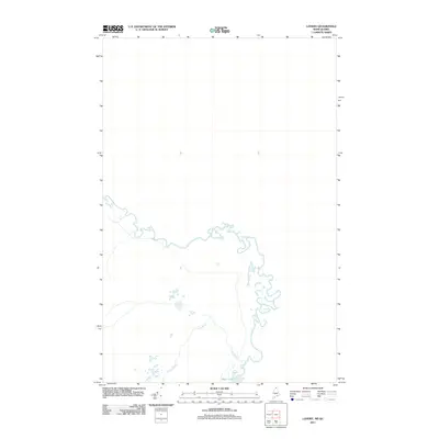
2011 Map of Landry
USGS Topo · Published 2011About this map
Beau Lake dominates the southern reaches of this landscape along the international border between Maine and Quebec. The map illustrates a largely uninhabited wilderness where the waters of Jones Brook flow southward toward the lake, carving a path through the northern forest. Published by the U.S. Geological Survey in 2011, this survey provides a precise look at the hydrology of Big Twenty Township. The absence of roads or structures on this sheet underscores the isolation of the St. John River headwaters region, a territory historically shaped by the timber industry and the shifting lines of border diplomacy.
Find a feature on this map
2 named features on this map. Tap any name to fly to it.
Don’t see what you’re looking for? This feature index may not catch every label — zoom into the map to look around manually.
Map Details
Editions of this 2011 Landry Map
This is the sole edition of this map. No revisions or reprints were ever made.
Other maps of this area

1955 · Beau Lake
USGS Topo · 1:62,500

1962 · Edmundston
USGS Topo · 1:250,000
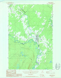
1986 · Landry
USGS Topo · 1:24,000

1987 · Beau Lake
USGS Topo · 1:24,000

1987 · Hafey Pond
USGS Topo · 1:24,000
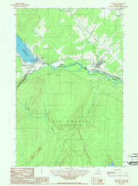
1987 · Estcourt
USGS Topo · 1:24,000
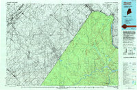
1993 · Allagash
USGS Topo · 1:100,000
1994 · Madawaska
USGS Topo · 1:100,000
2011 · Hafey Pond
USGS Topo · 1:24,000
2011 · Estcourt
USGS Topo · 1:24,000