
1987 Map of Beau Lake
USGS Topo · Published 1987About this map
Beau Lake St Francis River dominates this northern frontier, serving as a prominent international boundary between the United States and Canada. In the late twentieth century, the landscape remains characterized by its complex network of water bodies and timberlands, spanning Aroostook and Madawaska counties. The terrain is marked by significant features like Cross Lake Mountain and the turbulent Cross Lake Rapids at the outlet of Cross Lake.
Find a feature on this map
25 named features on this map. Tap any name to fly to it.
Don’t see what you’re looking for? This feature index may not catch every label — zoom into the map to look around manually.
Map Details
Editions of this 1987 Beau Lake Map
This is the sole edition of this map. No revisions or reprints were ever made.
Other maps of this area

1930 · Allagash
USGS Topo · 1:48,000

1930 · St Francis
USGS Topo · 1:48,000

1933 · Allagash
USGS Topo · 1:62,500

1933 · St Francis
USGS Topo · 1:62,500

1955 · Beau Lake
USGS Topo · 1:62,500

1962 · Edmundston
USGS Topo · 1:250,000
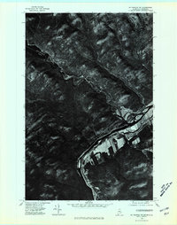
1975 · St Francis NW
USGS Topo · 1:24,000
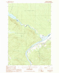
1985 · St. Francis
USGS Topo · 1:24,000
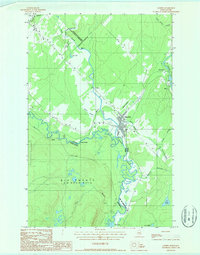
1986 · Landry
USGS Topo · 1:24,000
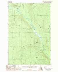
1987 · Johnson Brook Mountain
USGS Topo · 1:24,000