2000s (21st Century) Maps of Falmouth, Maine
Explore 20 historic maps of Falmouth from the 2000s (21st Century). These maps offer a rare glimpse into what life looked like during the 2000s — showing old roads, neighborhoods, homes, and landmarks that have changed or disappeared over time.
Whether you're researching your family's past, planning a metal detecting trip, or studying how Falmouth's landscape evolved across the 2000s, these high-resolution maps are a powerful tool for exploring the history of this region.
- Focus on a specific era: All maps on this page are from the 2000s, giving you a focused view of this time period.
- See what’s changed: Compare century-old streets, trails, and buildings to today's modern landscape using overlays and satellite layers.
- Research with precision: Use these maps for genealogy, historical research, land use analysis, or educational projects.
- View, download, or print: Maps are fully viewable online in high resolution, and can be downloaded or printed for your own records.
Start exploring Falmouth's history through authentic maps from the 2000s. This is your window into the past.
Falmouth, ME maps
(20)- 2011 Map of Cumberland Center, 2011 Print
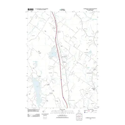 2011 Cumberland Center2011 Print · USGSCovers Falmouth, including Westbrook, Windham, and other nearby areas
 - 2011 Map of Portland West, 2011 Print
 2011 Portland West2011 Print · USGSCovers Falmouth, including Portland, South Portland, and other nearby areas
 - 2011 Map of Yarmouth, 2011 Print
 2011 Yarmouth2011 Print · USGSCovers Falmouth, including Yarmouth, Freeport, and other nearby areas
 - 2011 Map of Portland East, 2011 Print
 2011 Portland East2011 Print · USGSCovers Falmouth, including Portland, South Portland, and other nearby areas
 - 2014 Map of Cumberland Center, 2014 Print
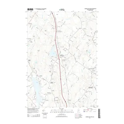 2014 Cumberland Center2014 Print · USGSCovers Falmouth, including Westbrook, Windham, and other nearby areas
 - 2014 Map of Yarmouth, 2014 Print
 2014 Yarmouth2014 Print · USGSCovers Falmouth, including Yarmouth, Freeport, and other nearby areas
 - 2014 Map of Portland East, 2014 Print
 2014 Portland East2014 Print · USGSCovers Falmouth, including Portland, South Portland, and other nearby areas
 - 2014 Map of Portland West, 2014 Print
 2014 Portland West2014 Print · USGSCovers Falmouth, including Portland, South Portland, and other nearby areas
 - 2018 Map of Cumberland Center, 2018 Print
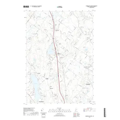 2018 Cumberland Center2018 Print · USGSCovers Falmouth, including Westbrook, Windham, and other nearby areas
 - 2018 Map of Yarmouth, 2018 Print
 2018 Yarmouth2018 Print · USGSCovers Falmouth, including Yarmouth, Freeport, and other nearby areas
 - 2018 Map of Portland East, 2018 Print
 2018 Portland East2018 Print · USGSCovers Falmouth, including Portland, South Portland, and other nearby areas
 - 2018 Map of Portland West, 2018 Print
 2018 Portland West2018 Print · USGSCovers Falmouth, including Portland, South Portland, and other nearby areas
 - 2021 Map of Portland East, 2021 Print
 2021 Portland East2021 Print · USGSCovers Falmouth, including Portland, South Portland, and other nearby areas
 - 2021 Map of Yarmouth, 2021 Print
 2021 Yarmouth2021 Print · USGSCovers Falmouth, including Yarmouth, Freeport, and other nearby areas
 - 2021 Map of Portland West, 2021 Print
 2021 Portland West2021 Print · USGSCovers Falmouth, including Portland, South Portland, and other nearby areas
 - 2021 Map of Cumberland Center, 2021 Print
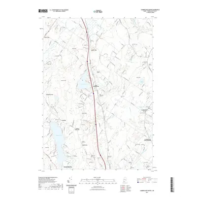 2021 Cumberland Center2021 Print · USGSCovers Falmouth, including Westbrook, Windham, and other nearby areas
 - 2024 Map of Portland West, 2024 Print
 2024 Portland West2024 Print · USGSGreater Portland and the Presumpscot River valley are shown here in detail during the early twenty-first century. Researchers can trace dozens of early family and municipal burial sites like Gowen Family Cem and the historic Eastern Cem near the city center.
 - 2024 Map of Portland East, 2024 Print
 2024 Portland East2024 Print · USGSThe Portland coast and Casco Bay islands are shown here during a period of modern growth and preserved maritime history. Genealogists and historians can trace harbor defenses like Fort Gorges or locate family plots at Eastern Cem and Mount Pleasant Cem.
 - 2024 Map of Yarmouth, 2024 Print
 2024 Yarmouth2024 Print · USGSCoastal Maine settlement meets a deep rail history at the edge of Casco Bay during the early 2020s. Researchers can trace family sites at Riverside Cem or Pine Grove Cem and explore the historic rail crossroads at Yarmouth Junction and Royal Junction.
 - 2024 Map of Cumberland Center, 2024 Print
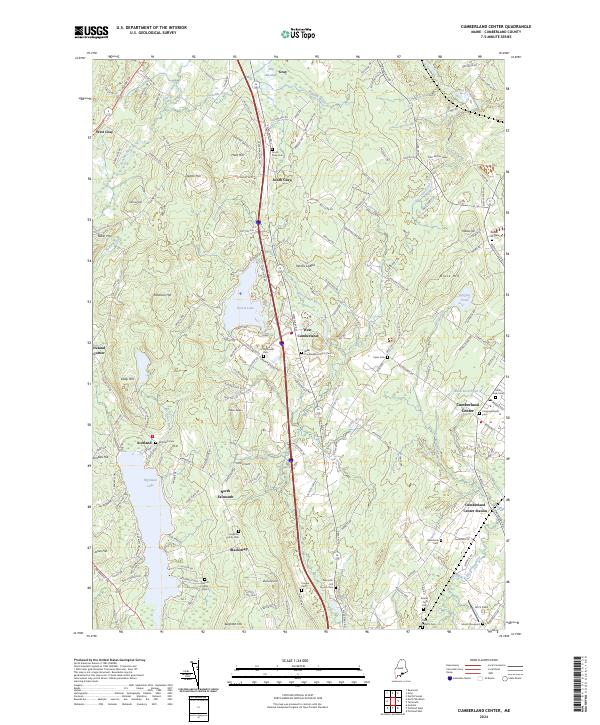 2024 Cumberland Center2024 Print · USGSCumberland and Gray settlements are shown here in recent detail, reflecting the area's deep-rooted residential and rural character. Researchers can find numerous family burial sites such as the Huston Family Cem and trace water-adjacent landmarks like Forest Lake.
End of results
Showing maps 1-20 of 20
Top cities near Falmouth
- Portland historical maps
- South Portland historical maps
- Biddeford historical maps
- Scarborough historical maps
- Brunswick historical maps
- Westbrook historical maps
See more
Top neighborhoods of Falmouth
- Falmouth Foreside historical maps
- Waites Landing historical maps
- York Landing historical maps
- North Falmouth historical maps
- Pleasant Hill historical maps
- West Falmouth Corner historical maps
See more
Frequently asked questions
- What are the different types of historical maps available for Falmouth?
- What is the oldest map of Falmouth?
- Where can I purchase historical maps of Falmouth for my home or office?
- Where can I download high-res historical maps of Falmouth?
- Are there historical topographic maps available for Falmouth?
- Is there historical aerial imagery available for Falmouth?
- Where are historical maps of Falmouth sourced from?