2000s (21st Century) Maps of Rangeley, Maine
Explore 20 historic maps of Rangeley from the 2000s (21st Century). These maps offer a rare glimpse into what life looked like during the 2000s — showing old roads, neighborhoods, homes, and landmarks that have changed or disappeared over time.
Whether you're researching your family's past, planning a metal detecting trip, or studying how Rangeley's landscape evolved across the 2000s, these high-resolution maps are a powerful tool for exploring the history of this region.
- Focus on a specific era: All maps on this page are from the 2000s, giving you a focused view of this time period.
- See what’s changed: Compare century-old streets, trails, and buildings to today's modern landscape using overlays and satellite layers.
- Research with precision: Use these maps for genealogy, historical research, land use analysis, or educational projects.
- View, download, or print: Maps are fully viewable online in high resolution, and can be downloaded or printed for your own records.
Start exploring Rangeley's history through authentic maps from the 2000s. This is your window into the past.
Rangeley, ME maps
(20)- 2011 Map of Oquossoc, 2011 Print
 2011 Oquossoc2011 Print · USGSCovers Rangeley, including Rangeley Plantation, Adamstown Township, and other nearby areas
 - 2011 Map of Rangeley, 2011 Print
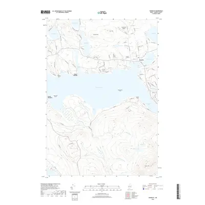
 2011 Rangeley2011 Print · USGSCovers Rangeley, including Dallas Plantation, Rangeley Plantation, and other nearby areas
 - 2011 Map of Kennebago Lake, 2011 Print
 2011 Kennebago Lake2011 Print · USGSCovers Rangeley, including Dallas Plantation, Stetsontown Township, and other nearby areas
 - 2011 Map of Kennebago, 2011 Print
 2011 Kennebago2011 Print · USGSCovers Rangeley, including Adamstown Township, Davis Town, and other nearby areas
 - 2014 Map of Oquossoc, 2014 Print
 2014 Oquossoc2014 Print · USGSCovers Rangeley, including Rangeley Plantation, Adamstown Township, and other nearby areas
 - 2014 Map of Rangeley, 2014 Print
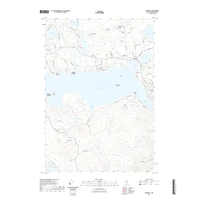
 2014 Rangeley2014 Print · USGSCovers Rangeley, including Dallas Plantation, Rangeley Plantation, and other nearby areas
 - 2014 Map of Kennebago Lake, 2014 Print
 2014 Kennebago Lake2014 Print · USGSCovers Rangeley, including Dallas Plantation, Stetsontown Township, and other nearby areas
 - 2014 Map of Kennebago, 2014 Print
 2014 Kennebago2014 Print · USGSCovers Rangeley, including Adamstown Township, Davis Town, and other nearby areas
 - 2018 Map of Kennebago Lake, 2018 Print
 2018 Kennebago Lake2018 Print · USGSCovers Rangeley, including Dallas Plantation, Stetsontown Township, and other nearby areas
 - 2018 Map of Kennebago, 2018 Print
 2018 Kennebago2018 Print · USGSCovers Rangeley, including Adamstown Township, Davis Town, and other nearby areas
 - 2018 Map of Oquossoc, 2018 Print
 2018 Oquossoc2018 Print · USGSCovers Rangeley, including Rangeley Plantation, Adamstown Township, and other nearby areas
 - 2018 Map of Rangeley, 2018 Print
 2018 Rangeley2018 Print · USGSCovers Rangeley, including Dallas Plantation, Rangeley Plantation, and other nearby areas
 - 2021 Map of Kennebago, 2021 Print
 2021 Kennebago2021 Print · USGSCovers Rangeley, including Adamstown Township, Davis Town, and other nearby areas
 - 2021 Map of Kennebago Lake, 2021 Print
 2021 Kennebago Lake2021 Print · USGSCovers Rangeley, including Dallas Plantation, Stetsontown Township, and other nearby areas
 - 2021 Map of Oquossoc, 2021 Print
 2021 Oquossoc2021 Print · USGSCovers Rangeley, including Rangeley Plantation, Adamstown Township, and other nearby areas
 - 2021 Map of Rangeley, 2021 Print
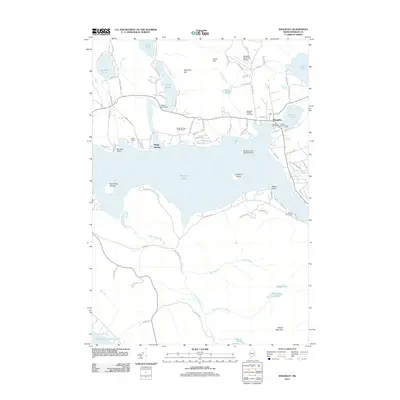
 2021 Rangeley2021 Print · USGSCovers Rangeley, including Dallas Plantation, Rangeley Plantation, and other nearby areas
 - 2024 Map of Kennebago, 2024 Print
 2024 Kennebago2024 Print · USGSOxford and Franklin Counties at the edge of the Maine wilderness are shown here in recent detail. Researchers can trace timber history via the Abandoned Railroad or locate local landmarks like Grants Camps and Davis Town.
 - 2024 Map of Oquossoc, 2024 Print
 2024 Oquossoc2024 Print · USGSThe Rangeley Lakes region in 2024 remains a quintessential Maine wilderness where deep-water lakes and high peaks meet. Researchers can trace the layout of small settlements like Oquossoc and Mountainview or locate remote camps on Students Island and Pleasant Island.
 - 2024 Map of Kennebago Lake, 2024 Print
 2024 Kennebago Lake2024 Print · USGSThe Maine woods near the border of Franklin County appear here in their modern form, showing the remote camps and mountain drainages. Trace the lake-side topography of Grants Camps or explore the wetlands around Yorks Logan and Beaver Bog.
 - 2024 Map of Rangeley, 2024 Print
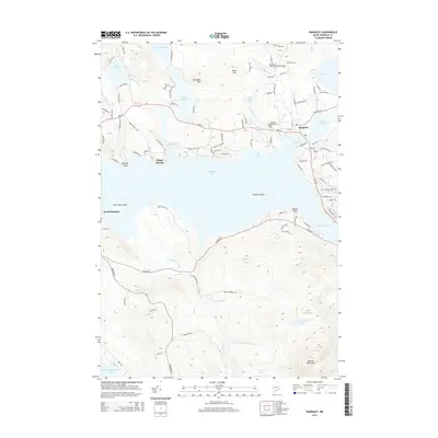
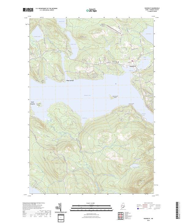 2024 Rangeley2024 Print · USGSRangeley and its famous lakes are captured here in the early twenty-first century, showing the community's modern layout and surrounding peaks. Genealogists and researchers can locate the Rangeley Village Cem or trace shorelines at Mingo Springs and Bonney Point.
End of results
Showing maps 1-20 of 20
Top cities near Rangeley
- Eustis historical maps
- Weld historical maps
- Dallas Plantation historical maps
- Rangeley Plantation historical maps
- Madrid Township historical maps
- Coplin Plantation historical maps
See more
Top neighborhoods of Rangeley
- Bald Mountain historical maps
- Mountainview historical maps
- Oquossoc historical maps
- Mingo Springs historical maps
- Macy historical maps
Frequently asked questions
- What are the different types of historical maps available for Rangeley?
- What is the oldest map of Rangeley?
- Where can I purchase historical maps of Rangeley for my home or office?
- Where can I download high-res historical maps of Rangeley?
- Are there historical topographic maps available for Rangeley?
- Is there historical aerial imagery available for Rangeley?
- Where are historical maps of Rangeley sourced from?