2000s (21st Century) Maps of Orland, Maine
Explore 30 historic maps of Orland from the 2000s (21st Century). These maps offer a rare glimpse into what life looked like during the 2000s — showing old roads, neighborhoods, homes, and landmarks that have changed or disappeared over time.
Whether you're researching your family's past, planning a metal detecting trip, or studying how Orland's landscape evolved across the 2000s, these high-resolution maps are a powerful tool for exploring the history of this region.
- Focus on a specific era: All maps on this page are from the 2000s, giving you a focused view of this time period.
- See what’s changed: Compare century-old streets, trails, and buildings to today's modern landscape using overlays and satellite layers.
- Research with precision: Use these maps for genealogy, historical research, land use analysis, or educational projects.
- View, download, or print: Maps are fully viewable online in high resolution, and can be downloaded or printed for your own records.
Start exploring Orland's history through authentic maps from the 2000s. This is your window into the past.
Orland, ME maps
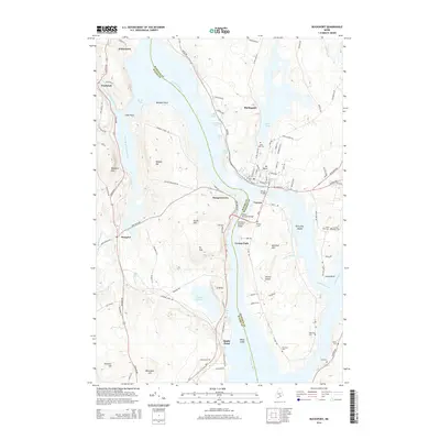
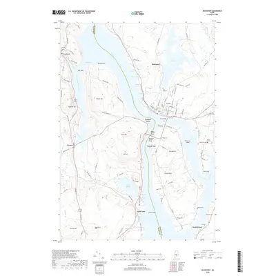
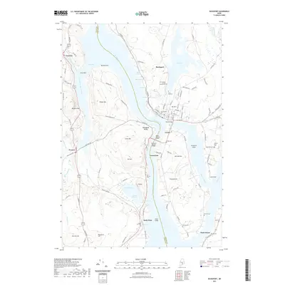
(30)- 2011 Map of Bucksport, 2011 Print
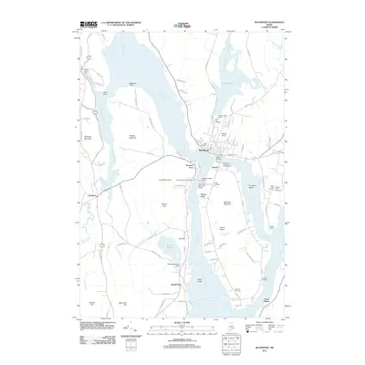 2011 Bucksport2011 Print · USGSCovers Orland, including Bucksport, Winterport, and other nearby areas
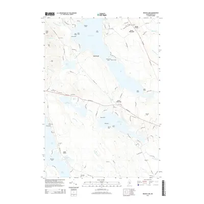
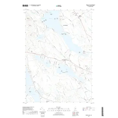
 - 2011 Map of Brewer Lake, 2011 Print
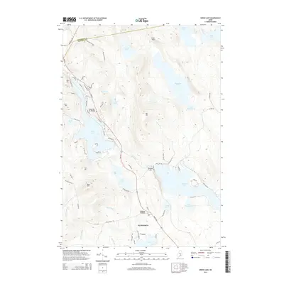
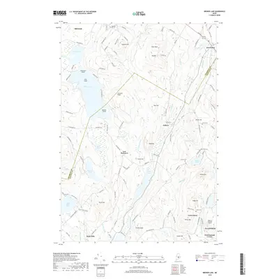
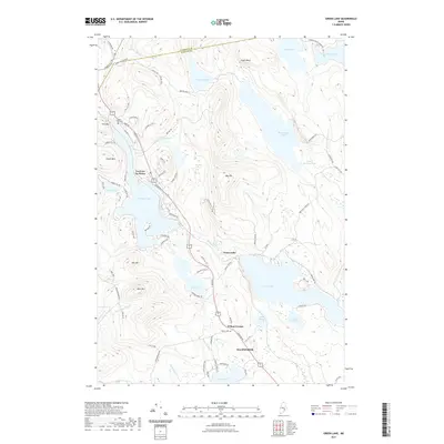
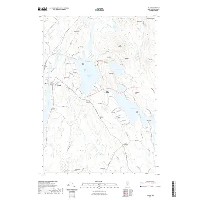
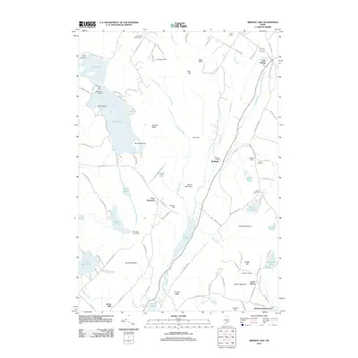 2011 Brewer Lake2011 Print · USGSCovers Orland, including Brewer, Ellsworth, and other nearby areas
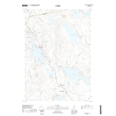
 - 2011 Map of Green Lake, 2011 Print
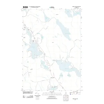 2011 Green Lake2011 Print · USGSCovers Orland, including Ellsworth, Holden, and other nearby areas
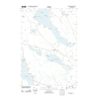
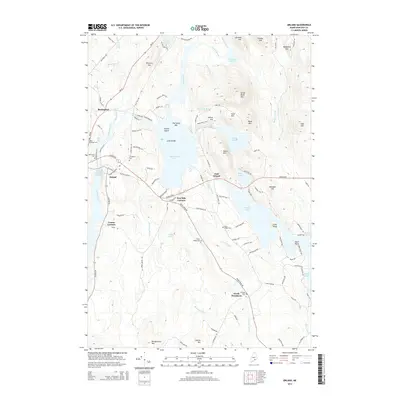
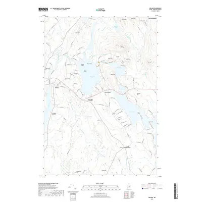
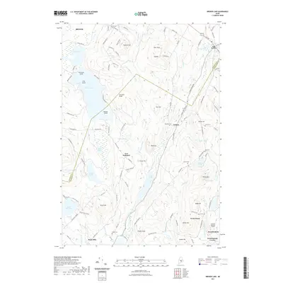
 - 2011 Map of Orland, 2011 Print
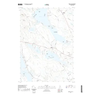
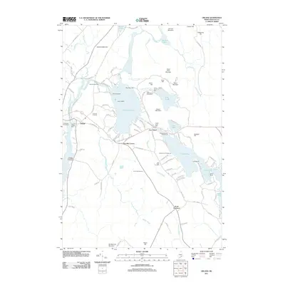 2011 Orland2011 Print · USGSCovers Orland, including Ellsworth, Bucksport, and other nearby areas
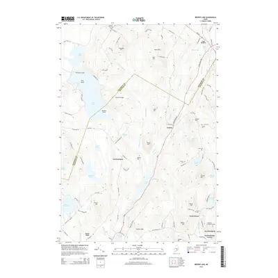
 - 2011 Map of Branch Lake, 2011 Print
 2011 Branch Lake2011 Print · USGSCovers Orland, including Ellsworth, Blue Hill, and other nearby areas
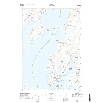
 - 2011 Map of Castine, 2011 Print
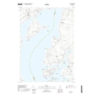
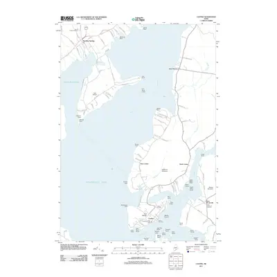 2011 Castine2011 Print · USGSCovers Orland, including Searsport, Stockton Springs, and other nearby areas
 - 2014 Map of Castine, 2014 Print
 2014 Castine2014 Print · USGSCovers Orland, including Searsport, Stockton Springs, and other nearby areas
 - 2014 Map of Green Lake, 2014 Print
 2014 Green Lake2014 Print · USGSCovers Orland, including Ellsworth, Holden, and other nearby areas
 - 2014 Map of Bucksport, 2014 Print
 2014 Bucksport2014 Print · USGSCovers Orland, including Bucksport, Winterport, and other nearby areas
 - 2014 Map of Branch Lake, 2014 Print
 2014 Branch Lake2014 Print · USGSCovers Orland, including Ellsworth, Blue Hill, and other nearby areas
 - 2014 Map of Orland, 2014 Print
 2014 Orland2014 Print · USGSCovers Orland, including Ellsworth, Bucksport, and other nearby areas
 - 2014 Map of Brewer Lake, 2014 Print
 2014 Brewer Lake2014 Print · USGSCovers Orland, including Brewer, Ellsworth, and other nearby areas
 - 2018 Map of Orland, 2018 Print
 2018 Orland2018 Print · USGSCovers Orland, including Ellsworth, Bucksport, and other nearby areas
 - 2018 Map of Branch Lake, 2018 Print
 2018 Branch Lake2018 Print · USGSCovers Orland, including Ellsworth, Blue Hill, and other nearby areas
 - 2018 Map of Green Lake, 2018 Print
 2018 Green Lake2018 Print · USGSCovers Orland, including Ellsworth, Holden, and other nearby areas
 - 2018 Map of Bucksport, 2018 Print
 2018 Bucksport2018 Print · USGSCovers Orland, including Bucksport, Winterport, and other nearby areas
 - 2018 Map of Brewer Lake, 2018 Print
 2018 Brewer Lake2018 Print · USGSCovers Orland, including Brewer, Ellsworth, and other nearby areas
 - 2018 Map of Castine, 2018 Print
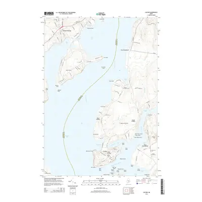
 2018 Castine2018 Print · USGSCovers Orland, including Searsport, Stockton Springs, and other nearby areas
 - 2021 Map of Branch Lake, 2021 Print
 2021 Branch Lake2021 Print · USGSCovers Orland, including Ellsworth, Blue Hill, and other nearby areas
 - 2021 Map of Green Lake, 2021 Print
 2021 Green Lake2021 Print · USGSCovers Orland, including Ellsworth, Holden, and other nearby areas
 - 2021 Map of Brewer Lake, 2021 Print
 2021 Brewer Lake2021 Print · USGSCovers Orland, including Brewer, Ellsworth, and other nearby areas
 - 2021 Map of Orland, 2021 Print
 2021 Orland2021 Print · USGSCovers Orland, including Ellsworth, Bucksport, and other nearby areas
 - 2021 Map of Bucksport, 2021 Print
 2021 Bucksport2021 Print · USGSCovers Orland, including Bucksport, Winterport, and other nearby areas
 - 2021 Map of Castine, 2021 Print
 2021 Castine2021 Print · USGSCovers Orland, including Searsport, Stockton Springs, and other nearby areas
 - 2024 Map of Orland, 2024 Print
 2024 Orland2024 Print · USGSHancock County’s inland waters and crossroads come into focus during this modern era of coastal Maine history. Local researchers can trace family lines through numerous rural burial sites like Front Ridge Cem and Back Ridge Cem, or locate the historic Craig Brook National Fish Hatchery.
Showing maps 1-25 of 30
Top cities near Orland
- Bangor historical maps
- Brewer historical maps
- Ellsworth historical maps
- Hampden historical maps
- Hermon historical maps
- Bucksport historical maps
See more
Top neighborhoods of Orland
- East Orland historical maps
- Winkumpaugh Corners historical maps
- Cranes Corners historical maps
- North Orland historical maps
- South Orland historical maps
- Five Mile Corners historical maps
Frequently asked questions
- What are the different types of historical maps available for Orland?
- What is the oldest map of Orland?
- Where can I purchase historical maps of Orland for my home or office?
- Where can I download high-res historical maps of Orland?
- Are there historical topographic maps available for Orland?
- Is there historical aerial imagery available for Orland?
- Where are historical maps of Orland sourced from?