Old Maps of Sedgwick, Maine for Genealogy
Trace your family roots with 33 historic maps of Sedgwick. These high-res maps reveal old neighborhoods, homesites, landmarks, and streets — helping you uncover where your ancestors lived and how the area evolved over time.
- Explore historic neighborhoods: Identify where your relatives may have lived in the 1800s or 1900s.
- Compare maps over time: Trace the changes in streets, buildings, and landmarks for multi-generational research.
- Perfect for genealogy & ancestry research: Used by family historians and researchers to map out lineage and migration.
These maps are an incredible resource for exploring your personal connection to Sedgwick's past.
Sedgwick, ME maps
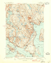
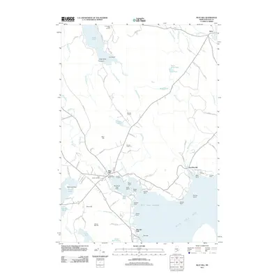
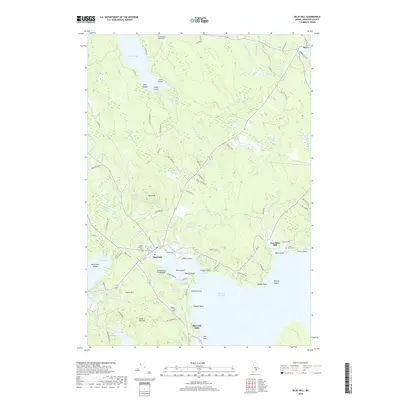
(33)- 1904 Map of Bluehill
 1904 Bluehill1904 Print · USGSCoastal Hancock County at the turn of the century shows a maritime landscape of interconnected peninsulas and island settlements. Genealogists can trace family lines in Sedgwick, Brooksville, and Bluehill, or locate landmarks like Bluehill Mineral Spring and the STEAMBOAT landing at Haven.5 unique versions available
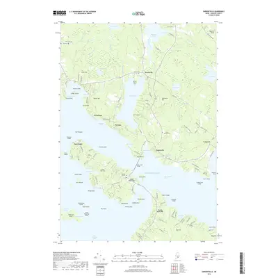
 - 1905 Map of Penobscot Bay
 1905 Penobscot Bay1905 Print · USGSThe Maine coastline at the dawn of the twentieth century was a bustling network of maritime trade and summer retreats. Genealogists and historians can trace the foundations of coastal life through the STEAMBOAT ROUTE, the Northport Camp Ground, and settlements like Sargentville.3 unique versions available
 - 1944 Map of Blue Hill
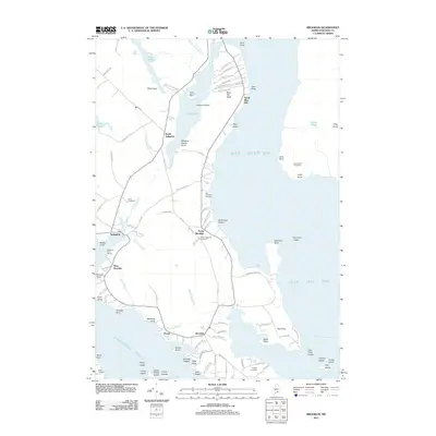
 1944 Blue Hill1944 Print · USGSHancock County’s rugged coastline and seafaring villages are captured here in the mid-1940s, just as modern infrastructure began to bridge these isolated peninsulas. Genealogists can trace family roots through sites like Hilltop Cem, the Grays Corner Sch, and the Deer Isle-Sedgwick Bridge.3 unique versions available
 - 1948 Map of Bangor
 1948 Bangor1948 Print · USGSThe Maine coast and its industrial river valleys are captured here shortly after the war, showing the vital shipping and rail hubs of the late 1940s. Genealogists and historians can trace the tracks of the Maine Central RR connecting Bangor, Augusta, and Old Town.
 - 1956 Map of Bangor, 1966 Print
 1956 Bangor1966 Print · USGSMid-century Maine comes alive in this survey of the rugged coast and river valleys during the 1950s. Genealogists and historians can trace the vital rail corridors of the Maine Central RR connecting timber towns like Old Town to the coast at Bar Harbor.3 unique versions available
 - 1957 Map of Blue Hill, 1959 Print
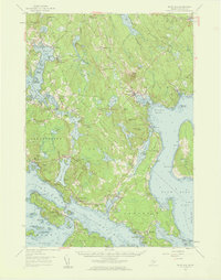 1957 Blue Hill1959 Print · USGSCoastal Hancock County in the late fifties reveals a maritime world of interconnected bays and small village centers. Genealogists and historians can trace family roots through sites like Number Three Chapel, Forest Home Cem, and the old docks at South Blue Hill.4 unique versions available
 - 1960 Map of Bangor
 1960 Bangor1960 Print · USGSCentral Maine in the sixties reveals a landscape of river-powered industry and sprawling coastal island chains. Researchers can trace the rail corridors of the Maine Central or locate mid-century aviation landmarks like Dow Air Force Base.
 - 1961 Map of Bangor
 1961 Bangor1961 Print · USGSMid-century Maine comes alive through its busy river ports and rocky archipelagoes during a period of steady maritime and rail commerce. Researchers can trace the path of the Maine Central railroad and locate coastal landmarks from Acadia National Park to Vinalhaven Island.
 - 1981 Map of Penobscot
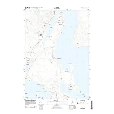
 1981 Penobscot1981 Print · USGSThe coastal waters of the Bagaduce River and Northern Bay define this corner of Maine in the early eighties. Researchers can trace historic family burial sites like Leach Cem or locate old settlements at South Penobscot and North Brooksville.2 unique versions available
 - 1981 Map of Brooklin
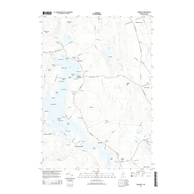
 1981 Brooklin1981 Print · USGSThe Hancock County coast at the start of the 1980s reveals a landscape of tidal marshes and tight-knit maritime villages. Researchers can trace ancestral roots through sites like Mt Ephraim Cem and the older Rural Cem, or locate family landmarks at Flye Point and Haven.
 - 1981 Map of Blue Hill
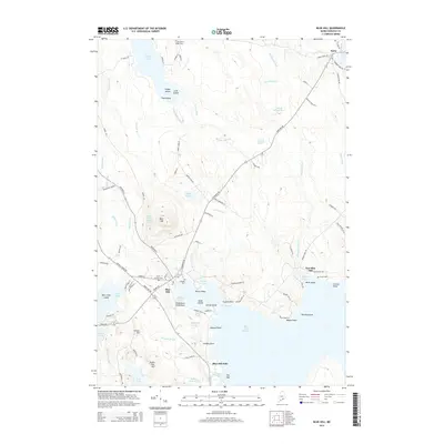
 1981 Blue Hill1981 Print · USGSCoastal Maine's maritime and industrial character is preserved here in the early eighties. Researchers can trace family history through the Early Settlers Cemetery or locate landmarks like Stevens Academy and the old Blue Hill Airport.2 unique versions available
 - 1981 Map of Sargentville, 1982 Print
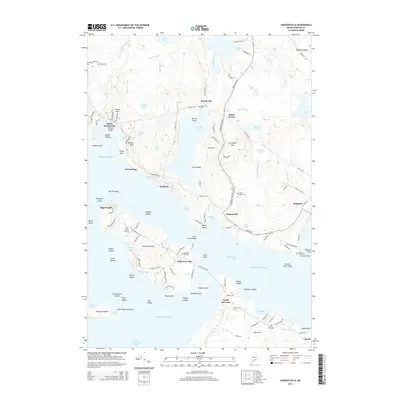
 1981 Sargentville1982 Print · USGSThe Maine coastline near the mouth of the Bagaduce River was a hub of seafaring and small-town life in the early eighties. Genealogists and historians can trace local family roots at Forest Home Cem, Ecce-mocin Ch, and the old Quarry on Little Deer Isle.2 unique versions available
 - 1985 Map of Bar Harbor
 1985 Bar Harbor1985 Print · USGSCoastal Hancock County in the mid-eighties shows an intricate landscape of island communities and protected wilderness. Trace the boundaries of Acadia National Park or locate seafaring hubs like Stonington and Bar Harbor.2 unique versions available
 - 2011 Map of Sargentville, 2011 Print
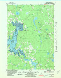
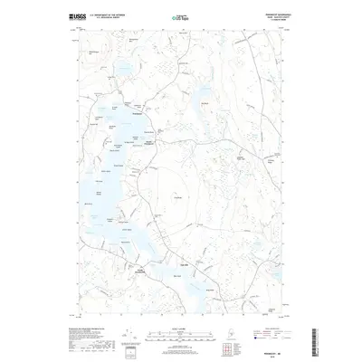
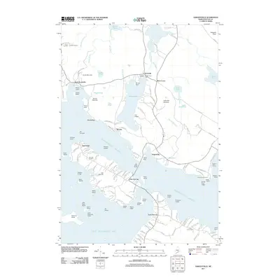 2011 Sargentville2011 Print · USGSCovers Sedgwick, including Deer Isle, Brooksville, and other nearby areas
 - 2011 Map of Penobscot, 2011 Print
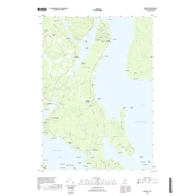
 2011 Penobscot2011 Print · USGSCovers Sedgwick, including Blue Hill, Penobscot, and other nearby areas
 - 2011 Map of Brooklin, 2011 Print
 2011 Brooklin2011 Print · USGSCovers Sedgwick, including Blue Hill, Deer Isle, and other nearby areas
 - 2011 Map of Blue Hill, 2011 Print
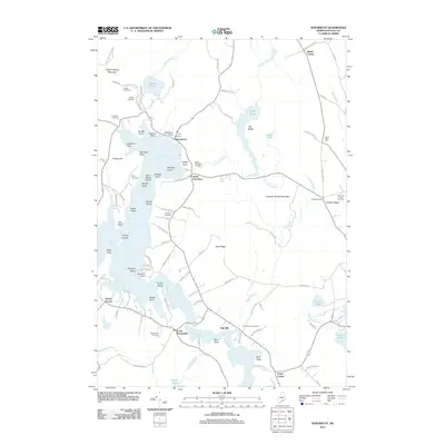
 2011 Blue Hill2011 Print · USGSCovers Sedgwick, including Blue Hill, Surry, and other nearby areas
 - 2014 Map of Sargentville, 2014 Print
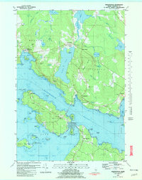
 2014 Sargentville2014 Print · USGSCovers Sedgwick, including Deer Isle, Brooksville, and other nearby areas
 - 2014 Map of Brooklin, 2014 Print
 2014 Brooklin2014 Print · USGSCovers Sedgwick, including Blue Hill, Deer Isle, and other nearby areas
 - 2014 Map of Penobscot, 2014 Print
 2014 Penobscot2014 Print · USGSCovers Sedgwick, including Blue Hill, Penobscot, and other nearby areas
 - 2014 Map of Blue Hill, 2014 Print
 2014 Blue Hill2014 Print · USGSCovers Sedgwick, including Blue Hill, Surry, and other nearby areas
 - 2018 Map of Blue Hill, 2018 Print
 2018 Blue Hill2018 Print · USGSCovers Sedgwick, including Blue Hill, Surry, and other nearby areas
 - 2018 Map of Sargentville, 2018 Print
 2018 Sargentville2018 Print · USGSCovers Sedgwick, including Deer Isle, Brooksville, and other nearby areas
 - 2018 Map of Penobscot, 2018 Print
 2018 Penobscot2018 Print · USGSCovers Sedgwick, including Blue Hill, Penobscot, and other nearby areas
 - 2018 Map of Brooklin, 2018 Print
 2018 Brooklin2018 Print · USGSCovers Sedgwick, including Blue Hill, Deer Isle, and other nearby areas
Showing maps 1-25 of 33
Top cities near Sedgwick
- Ellsworth historical maps
- Bar Harbor historical maps
- Bucksport historical maps
- Blue Hill historical maps
- Searsport historical maps
- Orland historical maps
See more
Top neighborhoods of Sedgwick
- Black Corner historical maps
- Sargentville historical maps
- Grays Corner historical maps
- North Sedgwick historical maps
- Oak Hill historical maps
Frequently asked questions
- What are the different types of historical maps available for Sedgwick?
- What is the oldest map of Sedgwick?
- Where can I purchase historical maps of Sedgwick for my home or office?
- Where can I download high-res historical maps of Sedgwick?
- Are there historical topographic maps available for Sedgwick?
- Is there historical aerial imagery available for Sedgwick?
- Where are historical maps of Sedgwick sourced from?