2000s (21st Century) Maps of T22 MD BPP Township, Maine
Explore 15 historic maps of T22 MD BPP Township from the 2000s (21st Century). These maps offer a rare glimpse into what life looked like during the 2000s — showing old roads, neighborhoods, homes, and landmarks that have changed or disappeared over time.
Whether you're researching your family's past, planning a metal detecting trip, or studying how T22 MD BPP Township's landscape evolved across the 2000s, these high-resolution maps are a powerful tool for exploring the history of this region.
- Focus on a specific era: All maps on this page are from the 2000s, giving you a focused view of this time period.
- See what’s changed: Compare century-old streets, trails, and buildings to today's modern landscape using overlays and satellite layers.
- Research with precision: Use these maps for genealogy, historical research, land use analysis, or educational projects.
- View, download, or print: Maps are fully viewable online in high resolution, and can be downloaded or printed for your own records.
Start exploring T22 MD BPP Township's history through authentic maps from the 2000s. This is your window into the past.
T22 MD BPP Township, ME maps
(15)- 2011 Map of Molasses Pond, 2011 Print
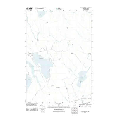 2011 Molasses Pond2011 Print · USGSCovers T22 MD BPP Township, including Franklin, Eastbrook, and other nearby areas
 - 2011 Map of Lead Mountain, 2011 Print
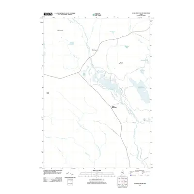 2011 Lead Mountain2011 Print · USGSCovers T22 MD BPP Township, including Deblois, Beddington, and other nearby areas
 - 2011 Map of Rocky Pond, 2011 Print
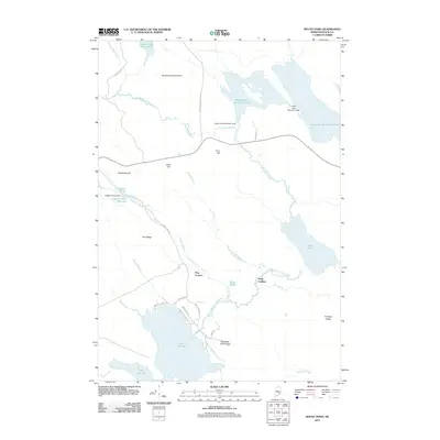 2011 Rocky Pond2011 Print · USGSCovers T22 MD BPP Township, including Aurora, Osborn, and other nearby areas
 - 2014 Map of Rocky Pond, 2014 Print
 2014 Rocky Pond2014 Print · USGSCovers T22 MD BPP Township, including Aurora, Osborn, and other nearby areas
 - 2014 Map of Lead Mountain, 2014 Print
 2014 Lead Mountain2014 Print · USGSCovers T22 MD BPP Township, including Deblois, Beddington, and other nearby areas
 - 2014 Map of Molasses Pond, 2014 Print
 2014 Molasses Pond2014 Print · USGSCovers T22 MD BPP Township, including Franklin, Eastbrook, and other nearby areas
 - 2018 Map of Molasses Pond, 2018 Print
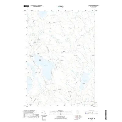 2018 Molasses Pond2018 Print · USGSCovers T22 MD BPP Township, including Franklin, Eastbrook, and other nearby areas
 - 2018 Map of Rocky Pond, 2018 Print
 2018 Rocky Pond2018 Print · USGSCovers T22 MD BPP Township, including Aurora, Osborn, and other nearby areas
 - 2018 Map of Lead Mountain, 2018 Print
 2018 Lead Mountain2018 Print · USGSCovers T22 MD BPP Township, including Deblois, Beddington, and other nearby areas
 - 2021 Map of Rocky Pond, 2021 Print
 2021 Rocky Pond2021 Print · USGSCovers T22 MD BPP Township, including Aurora, Osborn, and other nearby areas
 - 2021 Map of Lead Mountain, 2021 Print
 2021 Lead Mountain2021 Print · USGSCovers T22 MD BPP Township, including Deblois, Beddington, and other nearby areas
 - 2021 Map of Molasses Pond, 2021 Print
 2021 Molasses Pond2021 Print · USGSCovers T22 MD BPP Township, including Franklin, Eastbrook, and other nearby areas
 - 2024 Map of Molasses Pond, 2024 Print
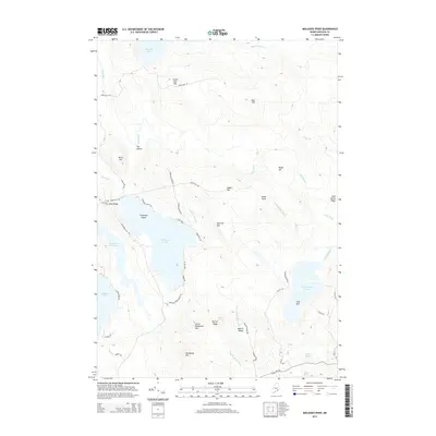
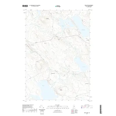
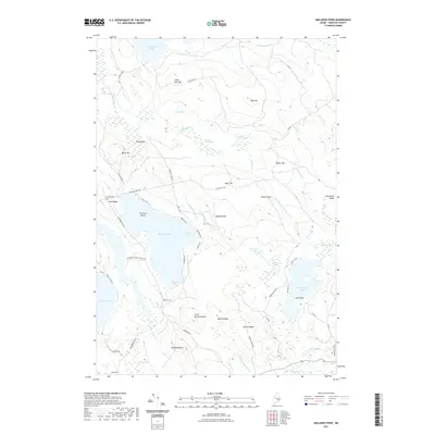
 2024 Molasses Pond2024 Print · USGSHancock County’s inland waters and timberlands are mapped here in the modern day, showing the intricate wetlands of the Maine interior. Genealogists and local historians can locate Crimmins Cem near Neck Ridge or trace old routes along Stone Dam Rd and Macomber Mill Rd.
 - 2024 Map of Rocky Pond, 2024 Print
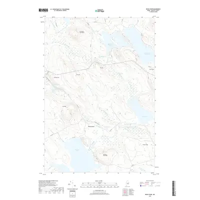
 2024 Rocky Pond2024 Print · USGSHancock County in the modern era continues to be shaped by its waterways and ridges. Researchers can trace the junction at Dog Corners or explore the drainage of the East Branch Union River near Spectacle Pond and Rocky Pond.
 - 2024 Map of Lead Mountain, 2024 Print
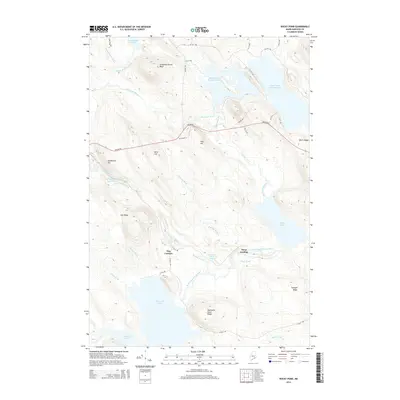
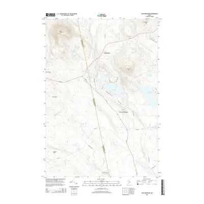
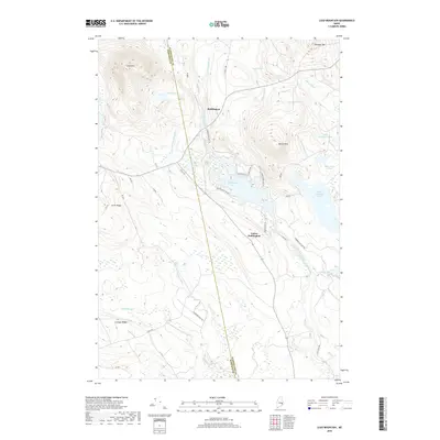
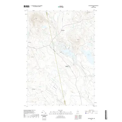
 2024 Lead Mountain2024 Print · USGSWashington County at the turn of the twenty-first century reveals a landscape shaped by timber management and the branching Narraguagus River. Genealogists and researchers can trace the roads connecting Beddington and Lower Beddington near landmarks like Lead Mtn and Beddington Lake.
End of results
Showing maps 1-15 of 15
Top cities near T22 MD BPP Township
- Hancock historical maps
- Franklin historical maps
- Milbridge historical maps
- Sullivan historical maps
- Steuben historical maps
- Cherryfield historical maps
See more
Top neighborhoods of T22 MD BPP Township
Frequently asked questions
- What are the different types of historical maps available for T22 MD BPP Township?
- What is the oldest map of T22 MD BPP Township?
- Where can I purchase historical maps of T22 MD BPP Township for my home or office?
- Where can I download high-res historical maps of T22 MD BPP Township?
- Are there historical topographic maps available for T22 MD BPP Township?
- Is there historical aerial imagery available for T22 MD BPP Township?
- Where are historical maps of T22 MD BPP Township sourced from?