2000s (21st Century) Maps of Mount Vernon, Maine
Explore 21 historic maps of Mount Vernon from the 2000s (21st Century). These maps offer a rare glimpse into what life looked like during the 2000s — showing old roads, neighborhoods, homes, and landmarks that have changed or disappeared over time.
Whether you're researching your family's past, planning a metal detecting trip, or studying how Mount Vernon's landscape evolved across the 2000s, these high-resolution maps are a powerful tool for exploring the history of this region.
- Focus on a specific era: All maps on this page are from the 2000s, giving you a focused view of this time period.
- See what’s changed: Compare century-old streets, trails, and buildings to today's modern landscape using overlays and satellite layers.
- Research with precision: Use these maps for genealogy, historical research, land use analysis, or educational projects.
- View, download, or print: Maps are fully viewable online in high resolution, and can be downloaded or printed for your own records.
Start exploring Mount Vernon's history through authentic maps from the 2000s. This is your window into the past.
Mount Vernon, ME maps
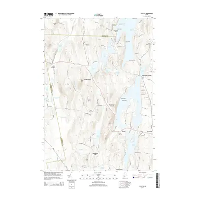
(21)- 2000 Map of Readfield, 2001 Print
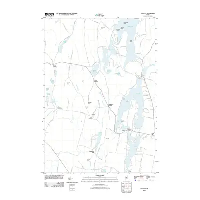
 2000 Readfield2001 Print · USGSReadfield and Kents Hill sit at the heart of this central Maine lake district at the turn of the millennium. Genealogists can locate numerous family burial sites like Philbrick Cem and Marston Cem or trace the early settlement at Wings Mills.
 - 2011 Map of Farmington Falls, 2011 Print
 2011 Farmington Falls2011 Print · USGSCovers Mount Vernon, including Farmington, New Sharon, and other nearby areas
 - 2011 Map of Fayette, 2011 Print
 2011 Fayette2011 Print · USGSCovers Mount Vernon, including Livermore Falls, Readfield, and other nearby areas
 - 2011 Map of Readfield, 2011 Print
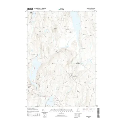
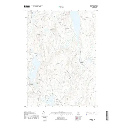
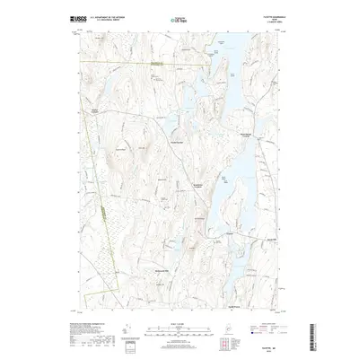
 2011 Readfield2011 Print · USGSCovers Mount Vernon, including Belgrade, Readfield, and other nearby areas
 - 2011 Map of Belgrade Lakes, 2011 Print
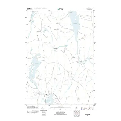
 2011 Belgrade Lakes2011 Print · USGSCovers Mount Vernon, including Belgrade, New Sharon, and other nearby areas
 - 2014 Map of Belgrade Lakes, 2014 Print
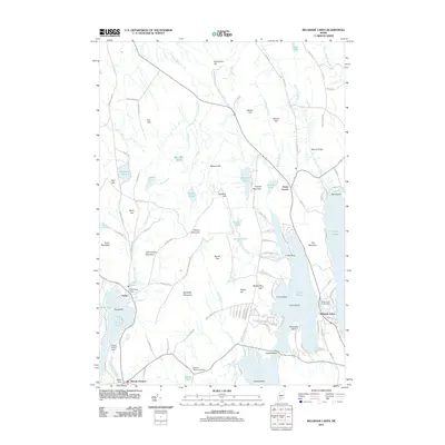
 2014 Belgrade Lakes2014 Print · USGSCovers Mount Vernon, including Belgrade, New Sharon, and other nearby areas
 - 2014 Map of Fayette, 2014 Print
 2014 Fayette2014 Print · USGSCovers Mount Vernon, including Livermore Falls, Readfield, and other nearby areas
 - 2014 Map of Farmington Falls, 2014 Print
 2014 Farmington Falls2014 Print · USGSCovers Mount Vernon, including Farmington, New Sharon, and other nearby areas
 - 2014 Map of Readfield, 2014 Print
 2014 Readfield2014 Print · USGSCovers Mount Vernon, including Belgrade, Readfield, and other nearby areas
 - 2018 Map of Readfield, 2018 Print
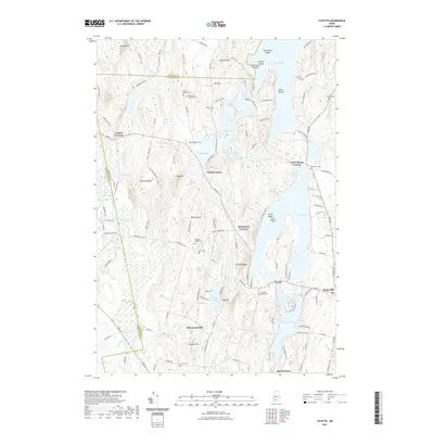
 2018 Readfield2018 Print · USGSCovers Mount Vernon, including Belgrade, Readfield, and other nearby areas
 - 2018 Map of Belgrade Lakes, 2018 Print
 2018 Belgrade Lakes2018 Print · USGSCovers Mount Vernon, including Belgrade, New Sharon, and other nearby areas
 - 2018 Map of Fayette, 2018 Print
 2018 Fayette2018 Print · USGSCovers Mount Vernon, including Livermore Falls, Readfield, and other nearby areas
 - 2018 Map of Farmington Falls, 2018 Print
 2018 Farmington Falls2018 Print · USGSCovers Mount Vernon, including Farmington, New Sharon, and other nearby areas
 - 2021 Map of Farmington Falls, 2021 Print
 2021 Farmington Falls2021 Print · USGSCovers Mount Vernon, including Farmington, New Sharon, and other nearby areas
 - 2021 Map of Fayette, 2021 Print
 2021 Fayette2021 Print · USGSCovers Mount Vernon, including Livermore Falls, Readfield, and other nearby areas
 - 2021 Map of Readfield, 2021 Print
 2021 Readfield2021 Print · USGSCovers Mount Vernon, including Belgrade, Readfield, and other nearby areas
 - 2021 Map of Belgrade Lakes, 2021 Print
 2021 Belgrade Lakes2021 Print · USGSCovers Mount Vernon, including Belgrade, New Sharon, and other nearby areas
 - 2024 Map of Farmington Falls, 2024 Print
 2024 Farmington Falls2024 Print · USGSFranklin and Kennebec counties meet in this western Maine landscape as it appears today, centered on the historic river village of Farmington Falls. Local historians can trace family plots at Webster Cem or Lowell Cem and follow old routes along Wilson Stream.
 - 2024 Map of Readfield, 2024 Print
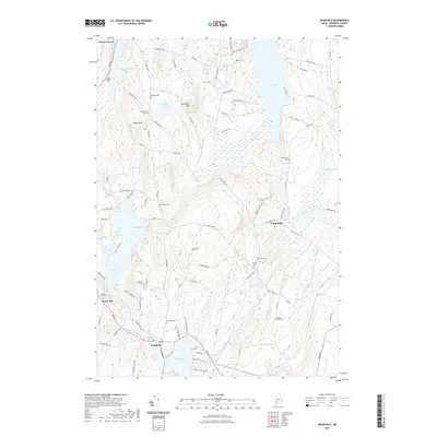
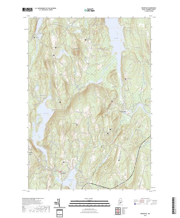 2024 Readfield2024 Print · USGSReadfield and its surrounding lake country are shown here in modern detail, capturing a landscape deeply rooted in Kennebec County history. Genealogists can trace family heritage through numerous local burial sites including Kents Hill Cem, Marston Cem, and Dunn Road Cem.
 - 2024 Map of Fayette, 2024 Print
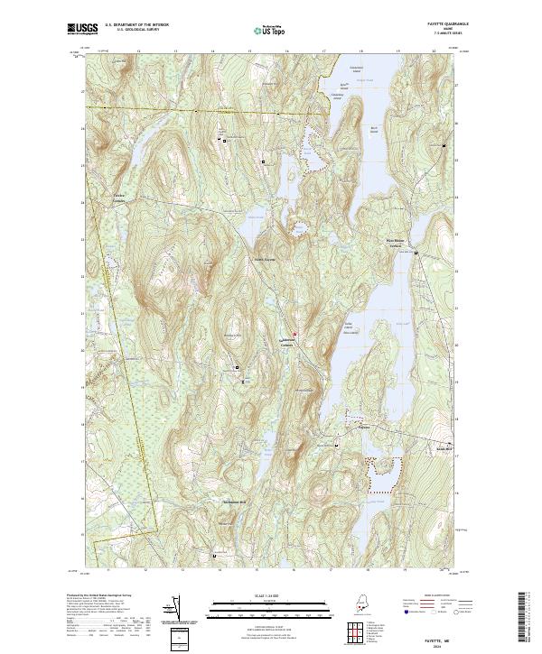 2024 Fayette2024 Print · USGSKennebec County’s lake country is captured here in the early twenty-first century, showing a network of historic settlements and family farmsteads. Trace local roots through the numerous burial grounds like Fellows Cem, Kent Cem, and Fayette Mills Cem.
 - 2024 Map of Belgrade Lakes, 2024 Print
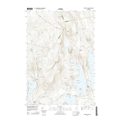
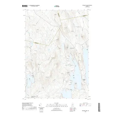
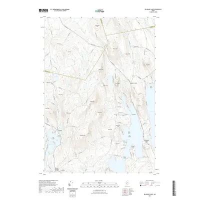
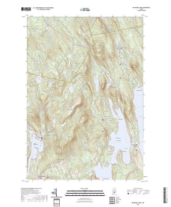 2024 Belgrade Lakes2024 Print · USGSThe Kennebec County lakelands are shown here in the 2020s, centered on the strategic narrows between Long Pond and Great Pond. Researchers can locate family sites and local landmarks like Rome Corner, Vienna, and several burial grounds including Trask Cem and Haynes-Hovey Cem.
End of results
Showing maps 1-21 of 21
Top cities near Mount Vernon
- Augusta historical maps
- Farmington historical maps
- Fairfield historical maps
- Skowhegan historical maps
- Oakland historical maps
- Winthrop historical maps
See more
Top neighborhoods of Mount Vernon
- Dunns Corners historical maps
- Long Acres historical maps
- Wings Mills historical maps
- West Mount Vernon historical maps
- Locks Corner historical maps
Frequently asked questions
- What are the different types of historical maps available for Mount Vernon?
- What is the oldest map of Mount Vernon?
- Where can I purchase historical maps of Mount Vernon for my home or office?
- Where can I download high-res historical maps of Mount Vernon?
- Are there historical topographic maps available for Mount Vernon?
- Is there historical aerial imagery available for Mount Vernon?
- Where are historical maps of Mount Vernon sourced from?