2000s (21st Century) Maps of Edgecomb, Maine
Explore 23 historic maps of Edgecomb from the 2000s (21st Century). These maps offer a rare glimpse into what life looked like during the 2000s — showing old roads, neighborhoods, homes, and landmarks that have changed or disappeared over time.
Whether you're researching your family's past, planning a metal detecting trip, or studying how Edgecomb's landscape evolved across the 2000s, these high-resolution maps are a powerful tool for exploring the history of this region.
- Focus on a specific era: All maps on this page are from the 2000s, giving you a focused view of this time period.
- See what’s changed: Compare century-old streets, trails, and buildings to today's modern landscape using overlays and satellite layers.
- Research with precision: Use these maps for genealogy, historical research, land use analysis, or educational projects.
- View, download, or print: Maps are fully viewable online in high resolution, and can be downloaded or printed for your own records.
Start exploring Edgecomb's history through authentic maps from the 2000s. This is your window into the past.
Edgecomb, ME maps
(23)- 2000 Map of Westport, 2001 Print
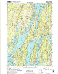 2000 Westport2001 Print · USGSCoastal Lincoln County at the turn of the millennium reveals a landscape of deep tidal rivers and historic island settlements. Genealogists and local historians can trace family landmarks and rural sites like Doggett Castle, Grover Cem, and the old Westport Ch.
 - 2000 Map of Damariscotta, 2001 Print
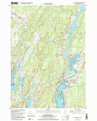 2000 Damariscotta2001 Print · USGSThe mid-coast Maine landscape at the millennium shows a timeless network of river towns and tidal estuaries. Genealogists can trace family sites from Head Tide to Damariscotta Mills, including Pine Knoll Cem and the historic St Patricks Ch.
 - 2000 Map of Bristol, 2001 Print
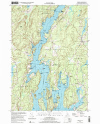 2000 Bristol2001 Print · USGSCoastal Lincoln County at the turn of the millennium shows a landscape of deep-water rivers and historic meetinghouses. Researchers can trace land ownership and community roots near the Old Walpole Meetinghouse, West Bristol Cem, and the village of Bristol.
 - 2011 Map of Bristol, 2011 Print
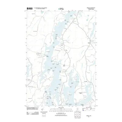 2011 Bristol2011 Print · USGSCoastal Lincoln County is mapped here in the early twenty-first century, showing the intricate tidal networks and peninsulas of the Midcoast. Genealogists and historians can trace family locations near Pemaquid, the West Bristol Cemetery, or the historic Bristol Mills Dam.
 - 2011 Map of Westport, 2011 Print
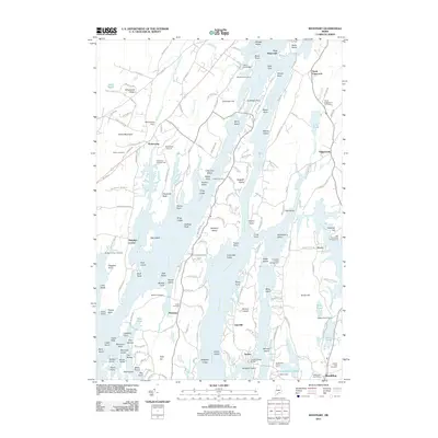 2011 Westport2011 Print · USGSCoastal Lincoln County is defined here by its island chains and tidal rivers in the early twenty-first century. Researchers can trace family history through sites like Tarbox Cemetery or Fort Edgecomb and locate the unique Trevett Swing Bridge.
 - 2011 Map of Wiscasset, 2011 Print
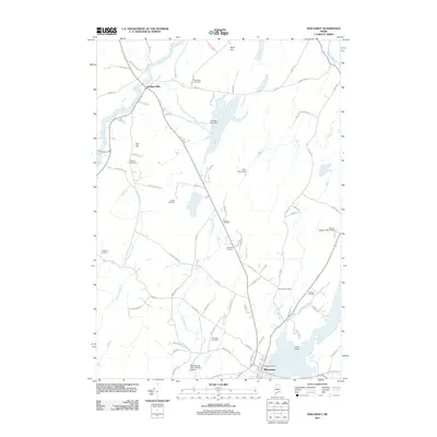 2011 Wiscasset2011 Print · USGSCoastal Maine at the start of the 2010s reveals a landscape of tidal rivers and scattered family burial grounds. Local historians can trace early settlement roots through the Ancient Cemetery, the rural crossroads of Dresden Mills, and the Montsweag Dam- Mason Station.
 - 2011 Map of Damariscotta, 2011 Print
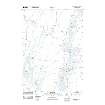 2011 Damariscotta2011 Print · USGSCoastal Lincoln County shows its deep maritime roots in the early twenty-first century as river and road networks connect historic villages. Genealogists and historians can trace family locations through several burial grounds like Barstow Cemetery or find old settlement hubs at Head Tide and Damariscotta Mills.
 - 2014 Map of Bristol, 2014 Print
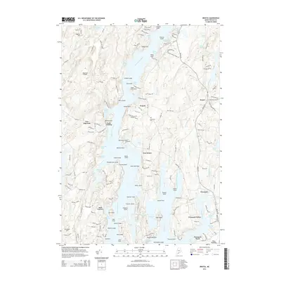 2014 Bristol2014 Print · USGSThe mid-coast Maine shoreline near the Damariscotta River is captured here in the mid-2010s, showcasing a landscape of tidal coves and coastal villages. Researchers can locate family landmarks such as Dodge Cem or trace the docks and landings at Pools Landing and New Harbor.
 - 2014 Map of Wiscasset, 2014 Print
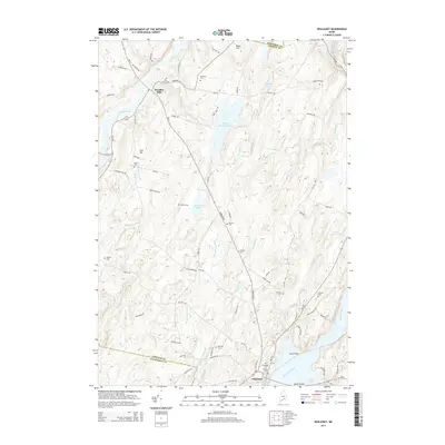 2014 Wiscasset2014 Print · USGSWiscasset and the surrounding Lincoln County countryside are shown here as they appeared in the early twenty-first century. Genealogists can locate numerous burial grounds such as Ancient Cem and Pine Grove Cem, or trace the winding course of the Eastern River.
 - 2014 Map of Damariscotta, 2014 Print
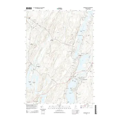 2014 Damariscotta2014 Print · USGSThe Midcoast Maine shoreline and river valleys appear in high detail during this modern survey. Genealogists and historians can trace family locations near Damariscotta Mills or locate local burial grounds like Saint Patrick Cem and Alna Cem.
 - 2014 Map of Westport, 2014 Print
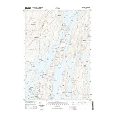 2014 Westport2014 Print · USGSCoastal Lincoln County is mapped here in the early twenty-first century, showing the intricate islands and coves around the Sheepscot River. Genealogists can locate family-named landmarks like the Parsons Cromwell Colby Cem and the historic Trevett Swing Bridge.
 - 2018 Map of Damariscotta, 2018 Print
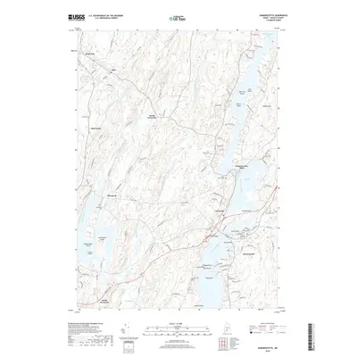 2018 Damariscotta2018 Print · USGSThe mid-coast Maine riverfronts and estuaries are captured here in the late twenty-tens, showing the enduring layouts of Newcastle and Damariscotta. Researchers can locate numerous family and parish burial grounds like Walpole Cem and Saint Patrick Cem along the winding Sheepscot River.
 - 2018 Map of Wiscasset, 2018 Print
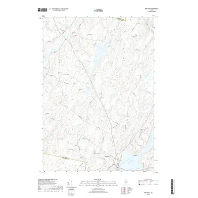 2018 Wiscasset2018 Print · USGSCoastal Lincoln County is mapped here in the late twenty-teens, showing the tidal shoreline and historic town center of Wiscasset. Genealogists can locate numerous burial sites including the Ancient Cem, Pine Grove Cem, and Jackson Cem among the hills and brooks.
 - 2018 Map of Westport, 2018 Print
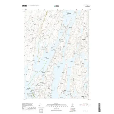 2018 Westport2018 Print · USGSThe Lincoln County coastline comes alive in this 2018 survey of the islands and tidal reaches surrounding the Sheepscot River. Genealogists and local historians can trace dozens of family burial sites, including the Ezekiel Tarbox Cem and Dunton Gilmore Cem, alongside landmarks like the Trevett Swing Bridge.
 - 2018 Map of Bristol, 2018 Print
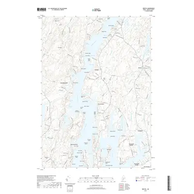 2018 Bristol2018 Print · USGSThe Maine coast near Walpole and Pemaquid is shown in detail during the late twenty-teens, highlighting the area's intricate maritime geography. Researchers can trace ancestral connections through Dodge Cem or explore the historic roads near Pemaquid Harbor and Back Narrows.
 - 2021 Map of Bristol, 2021 Print
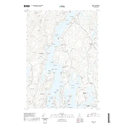 2021 Bristol2021 Print · USGSCoastal Lincoln County is mapped here in the early twenty-first century, showing the dense network of peninsulas and coves near Bristol. Genealogists can locate several small family plots, such as the McFarland - Erskine Family Cem and the Stephen Bryer Farm Cem.
 - 2021 Map of Westport, 2021 Print
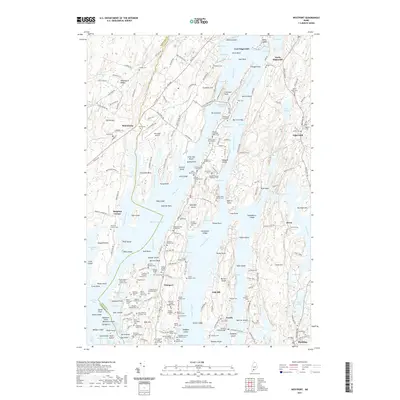 2021 Westport2021 Print · USGSThe Maine coast near Edgecomb and Westport Island is shown in its modern layout, characterized by complex tidal rivers and numerous family burial sites. Genealogists and historians can trace lineages at the Ancient Cem, find the Trevett Swing Bridge, or locate landmarks like Doggett Castle.
 - 2021 Map of Wiscasset, 2021 Print
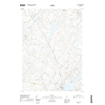 2021 Wiscasset2021 Print · USGSIn this modern survey of coastal Maine, the village of Wiscasset stands at the head of the Sheepscot River estuary. Genealogists can locate over a dozen burial grounds, including the Ancient Cem, Seigars Cem, and the historic Lincoln County Courthouse landmark.
 - 2021 Map of Damariscotta, 2021 Print
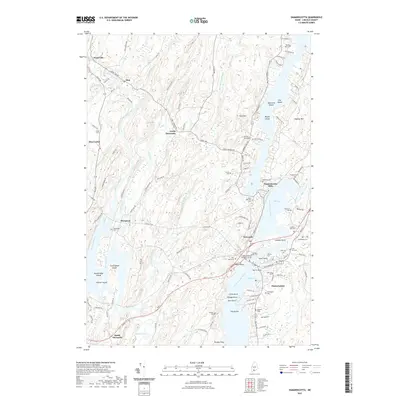 2021 Damariscotta2021 Print · USGSCoastal Maine life in the early twenty-first century is captured here, centered on the twin villages of Damariscotta and Newcastle. Researchers can trace dozens of family burial sites including Bunker Hill Cem and Walpole Cem, or explore the tidal reaches of Salt Bay.
 - 2024 Map of Wiscasset, 2024 Print
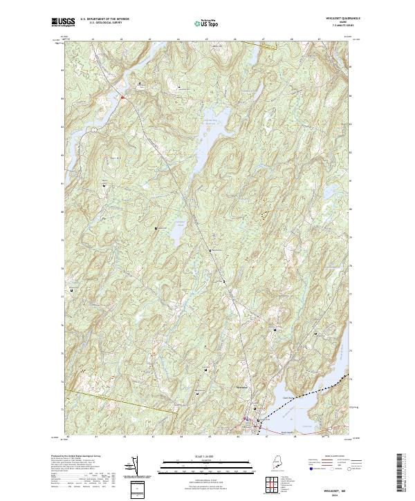 2024 Wiscasset2024 Print · USGSThe coastal village of Wiscasset and its rural hinterlands are shown here in the 2020s, highlighting the area's deep-rooted settlement patterns. Genealogists can trace family burial sites like Ancient Cem and Huntoon Hill Cem near the historic Lincoln County Courthouse.
 - 2024 Map of Bristol, 2024 Print
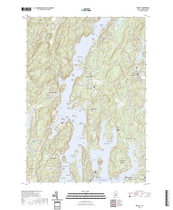 2024 Bristol2024 Print · USGSThe Lincoln County coast comes into focus here, showing the intricate shoreline and historic villages of the mid-coast region. Genealogists can trace family names at the Stephen Bryer Farm Cem or locate the Harrington Meeting House Cem.
 - 2024 Map of Westport, 2024 Print
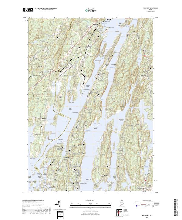 2024 Westport2024 Print · USGSThe Lincoln County coast near Wiscasset and Edgecomb is shown in meticulous detail during the early twenty-first century. Genealogists and local historians can trace family ties through numerous burial sites like the Gould Cem and Samuel Tarbox Junior Cem near Montsweag.
 - 2024 Map of Damariscotta, 2024 Print
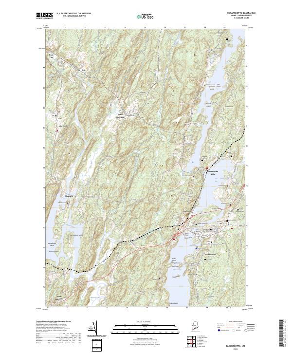 2024 Damariscotta2024 Print · USGSCoastal Maine life along the Sheepscot River is captured here in the mid-2020s, showing the settled landscape of Lincoln County. Genealogists can trace numerous family-named landmarks and burial sites including Plummer Cem, Bartlett-Jones Cem, and the historic Damariscotta Mills.
End of results
Showing maps 1-23 of 23
Top cities near Edgecomb
- Bath historical maps
- Gardiner historical maps
- Wiscasset historical maps
- West Gardiner historical maps
- Richmond historical maps
- Woolwich historical maps
See more
Top neighborhoods of Edgecomb
- South Newcastle historical maps
- East Edgecomb historical maps
- North Edgecomb historical maps
- Pools Landing historical maps
Frequently asked questions
- What are the different types of historical maps available for Edgecomb?
- What is the oldest map of Edgecomb?
- Where can I purchase historical maps of Edgecomb for my home or office?
- Where can I download high-res historical maps of Edgecomb?
- Are there historical topographic maps available for Edgecomb?
- Is there historical aerial imagery available for Edgecomb?
- Where are historical maps of Edgecomb sourced from?