2000s (21st Century) Maps of Wiscasset, Maine
Explore 17 historic maps of Wiscasset from the 2000s (21st Century). These maps offer a rare glimpse into what life looked like during the 2000s — showing old roads, neighborhoods, homes, and landmarks that have changed or disappeared over time.
Whether you're researching your family's past, planning a metal detecting trip, or studying how Wiscasset's landscape evolved across the 2000s, these high-resolution maps are a powerful tool for exploring the history of this region.
- Focus on a specific era: All maps on this page are from the 2000s, giving you a focused view of this time period.
- See what’s changed: Compare century-old streets, trails, and buildings to today's modern landscape using overlays and satellite layers.
- Research with precision: Use these maps for genealogy, historical research, land use analysis, or educational projects.
- View, download, or print: Maps are fully viewable online in high resolution, and can be downloaded or printed for your own records.
Start exploring Wiscasset's history through authentic maps from the 2000s. This is your window into the past.
Wiscasset, ME maps
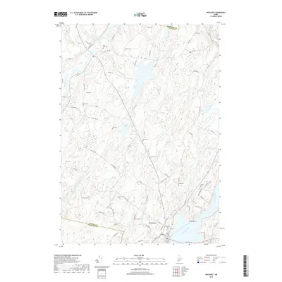
(17)- 2000 Map of Westport, 2001 Print
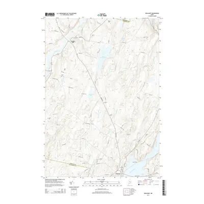
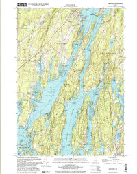 2000 Westport2001 Print · USGSCoastal Lincoln County at the turn of the millennium reveals a landscape of deep tidal rivers and historic island settlements. Genealogists and local historians can trace family landmarks and rural sites like Doggett Castle, Grover Cem, and the old Westport Ch.
 - 2000 Map of Damariscotta, 2001 Print
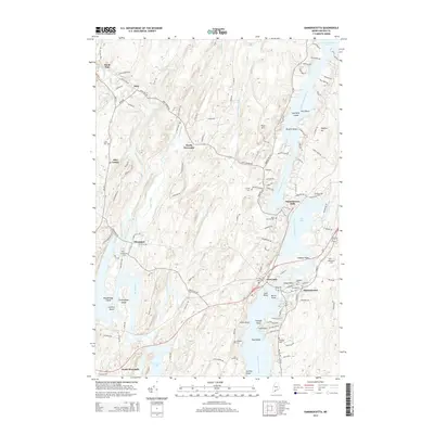
 2000 Damariscotta2001 Print · USGSThe mid-coast Maine landscape at the millennium shows a timeless network of river towns and tidal estuaries. Genealogists can trace family sites from Head Tide to Damariscotta Mills, including Pine Knoll Cem and the historic St Patricks Ch.
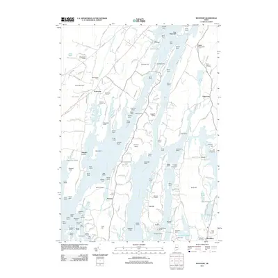
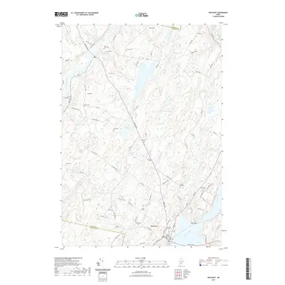
 - 2011 Map of Westport, 2011 Print
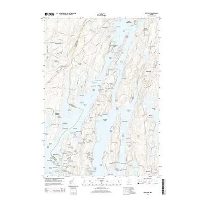
 2011 Westport2011 Print · USGSCovers Wiscasset, including Woolwich, Boothbay, and other nearby areas
 - 2011 Map of Wiscasset, 2011 Print
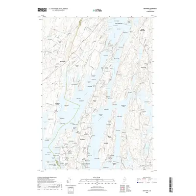
 2011 Wiscasset2011 Print · USGSCovers Wiscasset, including Woolwich, Pittston, and other nearby areas
 - 2011 Map of Damariscotta, 2011 Print
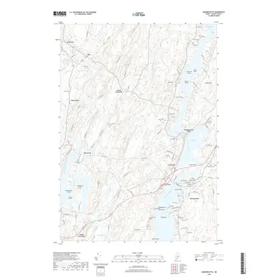
 2011 Damariscotta2011 Print · USGSCovers Wiscasset, including Bristol, Jefferson, and other nearby areas
 - 2014 Map of Wiscasset, 2014 Print
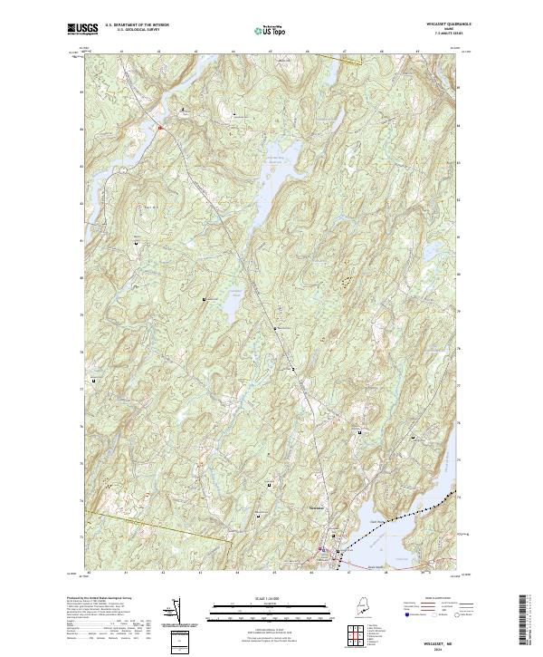
 2014 Wiscasset2014 Print · USGSCovers Wiscasset, including Woolwich, Pittston, and other nearby areas
 - 2014 Map of Damariscotta, 2014 Print
 2014 Damariscotta2014 Print · USGSCovers Wiscasset, including Bristol, Jefferson, and other nearby areas
 - 2014 Map of Westport, 2014 Print
 2014 Westport2014 Print · USGSCovers Wiscasset, including Woolwich, Boothbay, and other nearby areas
 - 2018 Map of Damariscotta, 2018 Print
 2018 Damariscotta2018 Print · USGSCovers Wiscasset, including Bristol, Jefferson, and other nearby areas
 - 2018 Map of Wiscasset, 2018 Print
 2018 Wiscasset2018 Print · USGSCovers Wiscasset, including Woolwich, Pittston, and other nearby areas
 - 2018 Map of Westport, 2018 Print
 2018 Westport2018 Print · USGSCovers Wiscasset, including Woolwich, Boothbay, and other nearby areas
 - 2021 Map of Westport, 2021 Print
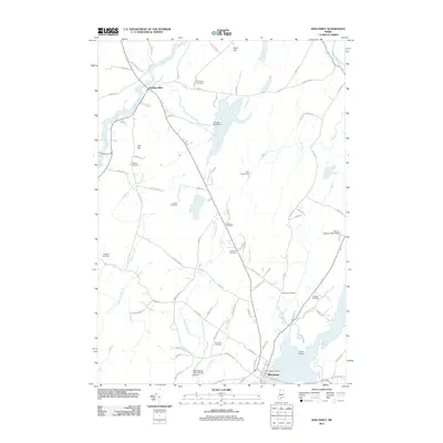
 2021 Westport2021 Print · USGSCovers Wiscasset, including Woolwich, Boothbay, and other nearby areas
 - 2021 Map of Wiscasset, 2021 Print
 2021 Wiscasset2021 Print · USGSCovers Wiscasset, including Woolwich, Pittston, and other nearby areas
 - 2021 Map of Damariscotta, 2021 Print
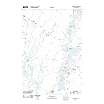
 2021 Damariscotta2021 Print · USGSCovers Wiscasset, including Bristol, Jefferson, and other nearby areas
 - 2024 Map of Wiscasset, 2024 Print
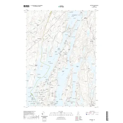
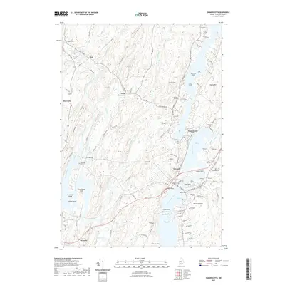
 2024 Wiscasset2024 Print · USGSThe coastal village of Wiscasset and its rural hinterlands are shown here in the 2020s, highlighting the area's deep-rooted settlement patterns. Genealogists can trace family burial sites like Ancient Cem and Huntoon Hill Cem near the historic Lincoln County Courthouse.
 - 2024 Map of Westport, 2024 Print
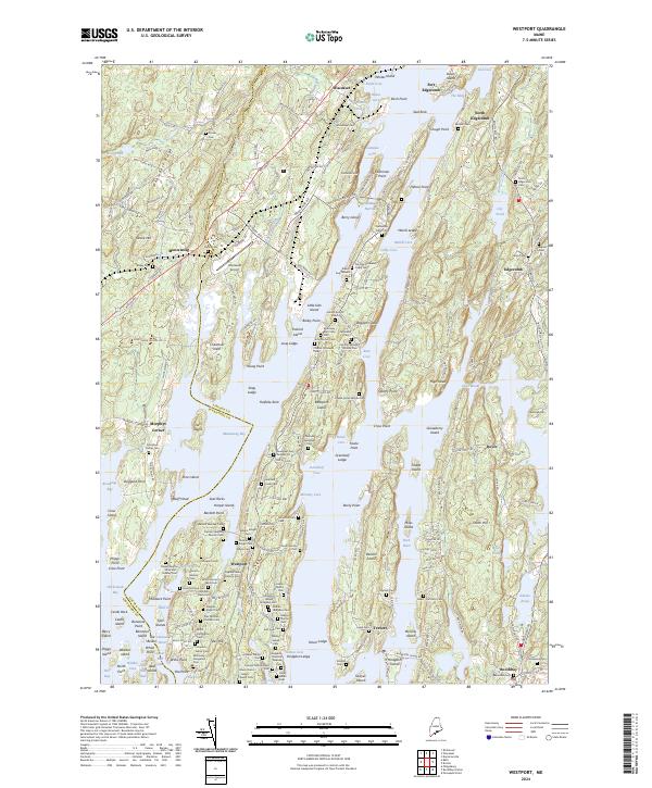 2024 Westport2024 Print · USGSThe Lincoln County coast near Wiscasset and Edgecomb is shown in meticulous detail during the early twenty-first century. Genealogists and local historians can trace family ties through numerous burial sites like the Gould Cem and Samuel Tarbox Junior Cem near Montsweag.
 - 2024 Map of Damariscotta, 2024 Print
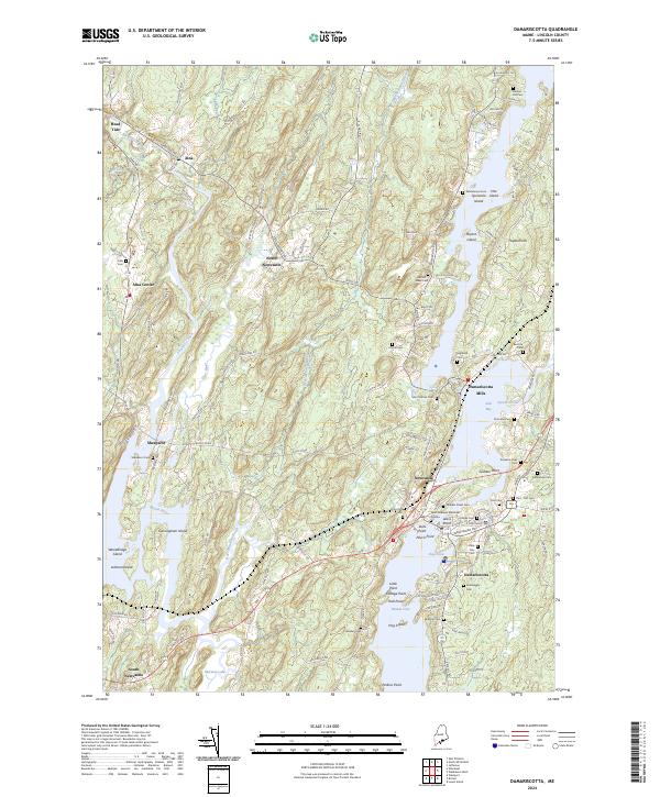 2024 Damariscotta2024 Print · USGSCoastal Maine life along the Sheepscot River is captured here in the mid-2020s, showing the settled landscape of Lincoln County. Genealogists can trace numerous family-named landmarks and burial sites including Plummer Cem, Bartlett-Jones Cem, and the historic Damariscotta Mills.
End of results
Showing maps 1-17 of 17
Top cities near Wiscasset
- Brunswick historical maps
- Topsham historical maps
- Bath historical maps
- Gardiner historical maps
- Harpswell historical maps
- West Gardiner historical maps
See more
Frequently asked questions
- What are the different types of historical maps available for Wiscasset?
- What is the oldest map of Wiscasset?
- Where can I purchase historical maps of Wiscasset for my home or office?
- Where can I download high-res historical maps of Wiscasset?
- Are there historical topographic maps available for Wiscasset?
- Is there historical aerial imagery available for Wiscasset?
- Where are historical maps of Wiscasset sourced from?