Old Maps of Clifton, Maine for Academic Research
Study the evolution of Clifton with 35 high-resolution historic maps. Whether you're teaching, researching, or modeling changes in land use, these maps provide essential visual documentation of urban, environmental, and geographic change.
- Analyze long-term change: Track patterns in development, transportation, and natural features.
- Ideal for environmental or urban studies: Support academic projects with primary historical map data.
- Use in the classroom or lab: Educators and researchers rely on these maps to bring historical context to life.
These maps are a powerful tool for teaching, research, and visualizing how Clifton has changed over the decades.
Clifton, ME maps
(35)- 1900 Map of Orland
 1900 Orland1900 Print · USGSMaine's interior hills and glacial lakes are shown in detail at the turn of the century as the rail lines reached into Hancock County. Trace the development of small settlements like East Orland and Dedham, or locate the early U.S. Fish Hatchery near Green Lake.6 unique versions available
 - 1902 Map of Orono
 1902 Orono1902 Print · USGSPenobscot River life at the turn of the century centered on a busy corridor of rail, river, and industry. Researchers can trace the early footprint of the University, the rail lines of the Bangor and Aroostook RR, and settlements like Basin Mills and Indian Island.6 unique versions available
 - 1929 Map of Great Pond
 1929 Great Pond1929 Print · USGSThe rural interior of Hancock County is captured here in the late twenties during a period of remote timber camps and small mountain schools. Researchers can locate long-standing landmarks such as Archer's Corners, Rebel Hill Sch, and the isolated Rackliff Camp.
 - 1932 Map of Great Pond
 1932 Great Pond1932 Print · USGSHancock and Penobscot Counties are captured here in the early thirties, showcasing the timberlands and small settlements along the Airline Road. Local historians can trace family roots through sites like the Goodwin School, Archers Corners, and North Mariaville.4 unique versions available
 - 1942 Map of Orland
 1942 Orland1942 Print · USGSIn the early 1940s, the rugged interior between the Penobscot River and Ellsworth was a landscape of high summits and conservation-focused industry. Genealogists and historians can trace old homesteads and landmarks like Bucks Mills, the U S Fish Hatchery, and the scattered settlements of East Orland and North Ellsworth.
 - 1944 Map of Orono, 1954 Print
 1944 Orono1954 Print · USGSThe Penobscot River corridor is captured here in the mid-1940s, showing the early footprint of the University of Maine and the industrial activity of Old Town. Genealogists and historians can trace family locations through French Settlement, Woodlawn Cem, and the Old Gold Mine.2 unique versions available
 - 1946 Map of Orono
 1946 Orono1946 Print · USGSPenobscot County industry and academia meet along the river in the mid-forties. Genealogists and historians can trace the development of Marsh Island, locate the University of Maine campus, and find local landmarks like the Old Gold Mine Trail.2 unique versions available
 - 1948 Map of Bangor
 1948 Bangor1948 Print · USGSThe Maine coast and its industrial river valleys are captured here shortly after the war, showing the vital shipping and rail hubs of the late 1940s. Genealogists and historians can trace the tracks of the Maine Central RR connecting Bangor, Augusta, and Old Town.
 - 1948 Map of Orland
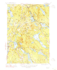 1948 Orland1948 Print · USGSHancock and Penobscot counties are shown here just after the war, when rural hamlets and lakeside retreats defined the landscape. Researchers can locate the Annear Copper Mine, the US Fish Hatchery, and numerous family burial grounds like Evergreen Cemetery.2 unique versions available
 - 1955 Map of Orland, 1956 Print
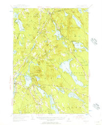 1955 Orland1956 Print · USGSCoastal Maine in the mid-fifties is captured here as a landscape of interconnected ponds and granite ridges. Genealogists and historians can trace family-named landmarks like Condon Hill, locate the U S Fish Hatchery, and find the Annear Copper Mine.4 unique versions available
 - 1955 Map of Orono, 1957 Print
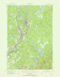 1955 Orono1957 Print · USGSThe Penobscot river valley thrived as a center of education and industry in the mid-fifties, anchored by Indian Island and the university. Genealogists and historians can trace family-named sites from French Settlement to Clewleyville Corners and the Old Gold Mine.4 unique versions available
 - 1956 Map of Bangor, 1966 Print
 1956 Bangor1966 Print · USGSMid-century Maine comes alive in this survey of the rugged coast and river valleys during the 1950s. Genealogists and historians can trace the vital rail corridors of the Maine Central RR connecting timber towns like Old Town to the coast at Bar Harbor.3 unique versions available
 - 1957 Map of Great Pond, 1959 Print
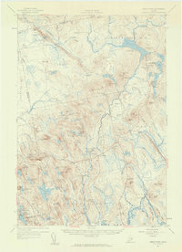 1957 Great Pond1959 Print · USGSHancock County's interior townships are shown here in the late fifties as military recreation and training sites integrated with traditional rural settlements. Researchers can locate the Hadley Cem and several community schools like Monticello Sch and Caruso Sch.4 unique versions available
 - 1960 Map of Bangor
 1960 Bangor1960 Print · USGSCentral Maine in the sixties reveals a landscape of river-powered industry and sprawling coastal island chains. Researchers can trace the rail corridors of the Maine Central or locate mid-century aviation landmarks like Dow Air Force Base.
 - 1961 Map of Bangor
 1961 Bangor1961 Print · USGSMid-century Maine comes alive through its busy river ports and rocky archipelagoes during a period of steady maritime and rail commerce. Researchers can trace the path of the Maine Central railroad and locate coastal landmarks from Acadia National Park to Vinalhaven Island.
 - 1982 Map of Green Lake
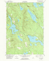 1982 Green Lake1982 Print · USGSHancock County’s lakelands are shown here in the early eighties, centered on the vacation community of Lucerne-In-Maine. Genealogists and researchers can trace family landmarks like Wilson Corner, Eastern Cem, and Our Lady of the Lake Chapel set against the granite heights of Eagle Bluff.2 unique versions available
 - 1985 Map of Bangor
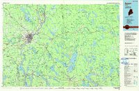 1985 Bangor1985 Print · USGSMid-Maine during the mid-eighties centers on the industrial pulse of the Penobscot River and its critical rail connections. Genealogists and historians can trace the development of river towns from Old Town to Ellsworth and locate regional landmarks like Fort Knox State Park.
 - 1988 Map of Chemo Pond
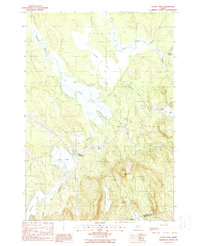 1988 Chemo Pond1988 Print · USGSPenobscot County in the late eighties reveals a landscape shaped by vast water bodies and rising woodland hills. Researchers can locate the small settlements of East Eddington and Clifton or trace the drainage from Chemo Bog into Chemo Pond.2 unique versions available
 - 1988 Map of Hopkins Pond
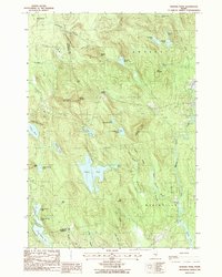 1988 Hopkins Pond1988 Print · USGSHancock County was a landscape of remote ponds and granite peaks in the late eighties, just as many of its rural areas were being formally mapped. Researchers can trace land tracts near Archers Corners and Goodwin, or locate family landmarks like Chick Hill and Hopkins Pond.
 - 1994 Map of Bangor
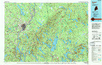 1994 Bangor1994 Print · USGSThe Penobscot River valley and the coastal highlands of eastern Maine are captured here in the mid-1990s. Researchers can trace the industrial rail corridors of the Maine Central Railroad or explore the landscape around Old Town, Bucksport, and Graham Lake.
 - 2011 Map of Chemo Pond, 2011 Print
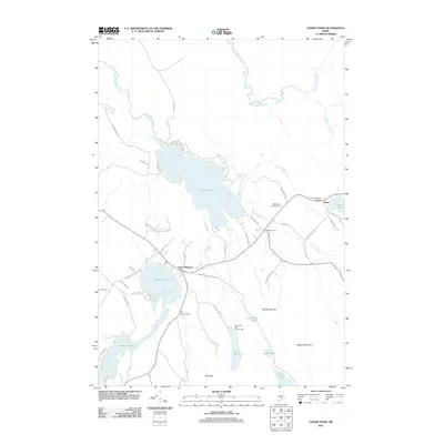 2011 Chemo Pond2011 Print · USGSPenobscot County’s interconnected waterways and timberlands are captured here in the early twenty-first century. Genealogists and local historians can trace family-named routes and landmarks near East Eddington and Clifton, including Pine Tree Cemetery and the Roosevelt Boy Scout Camp.
 - 2011 Map of Green Lake, 2011 Print
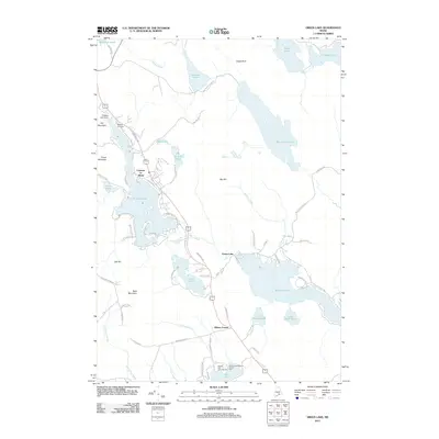 2011 Green Lake2011 Print · USGSHancock County’s lakelands are shown here in the early 2000s, centered on the historic resort community of Lucerne-in-Maine. Genealogists and researchers can locate Eastern Cemetery, trace old routes like Old Route 1A, and find local landmarks such as Camp Jordan.
 - 2011 Map of Hopkins Pond, 2011 Print
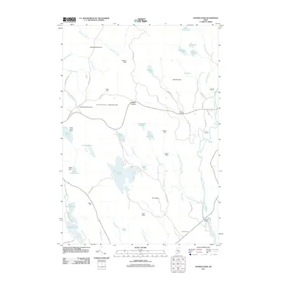 2011 Hopkins Pond2011 Print · USGSPenobscot County in the early twenty-first century reveals a landscape shaped by high peaks and river valleys. Researchers can locate remote burial grounds like Amherst Cemetery, landmark peaks such as Peaked Mountain, and water features including Hopkins Pond.
 - 2014 Map of Hopkins Pond, 2014 Print
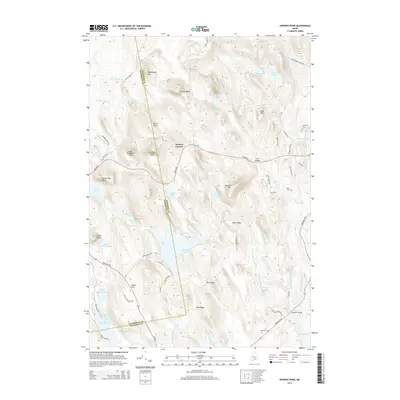 2014 Hopkins Pond2014 Print · USGSThe woodlands of eastern Maine at the turn of the 21st century are revealed through this detailed topographic survey. Researchers can trace family history through local burying grounds like Amherst Cem and Hadley Cem or follow the historic path of the Airline Rd through Archers Corners.
 - 2014 Map of Chemo Pond, 2014 Print
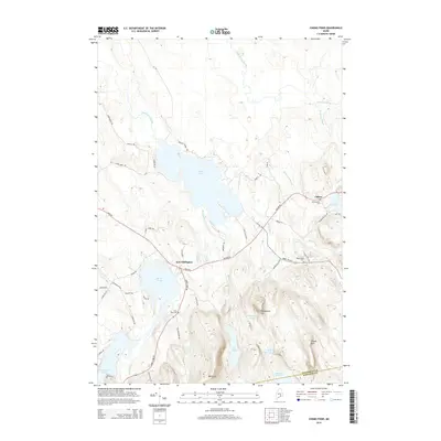 2014 Chemo Pond2014 Print · USGSPenobscot County at the start of the 2010s shows a landscape of highland ridges and sprawling glacial ponds. Researchers can trace historic local sites like East Eddington, Maplewood Cem, and the high peak of Pisgah Mtn.
Showing maps 1-25 of 35
Top cities near Clifton
- Bangor historical maps
- Orono historical maps
- Brewer historical maps
- Ellsworth historical maps
- Old Town historical maps
- Bucksport historical maps
See more
Top neighborhoods of Clifton
Frequently asked questions
- What are the different types of historical maps available for Clifton?
- What is the oldest map of Clifton?
- Where can I purchase historical maps of Clifton for my home or office?
- Where can I download high-res historical maps of Clifton?
- Are there historical topographic maps available for Clifton?
- Is there historical aerial imagery available for Clifton?
- Where are historical maps of Clifton sourced from?