2000s (21st Century) Maps of Dexter, Maine
Explore 20 historic maps of Dexter from the 2000s (21st Century). These maps offer a rare glimpse into what life looked like during the 2000s — showing old roads, neighborhoods, homes, and landmarks that have changed or disappeared over time.
Whether you're researching your family's past, planning a metal detecting trip, or studying how Dexter's landscape evolved across the 2000s, these high-resolution maps are a powerful tool for exploring the history of this region.
- Focus on a specific era: All maps on this page are from the 2000s, giving you a focused view of this time period.
- See what’s changed: Compare century-old streets, trails, and buildings to today's modern landscape using overlays and satellite layers.
- Research with precision: Use these maps for genealogy, historical research, land use analysis, or educational projects.
- View, download, or print: Maps are fully viewable online in high resolution, and can be downloaded or printed for your own records.
Start exploring Dexter's history through authentic maps from the 2000s. This is your window into the past.
Dexter, ME maps
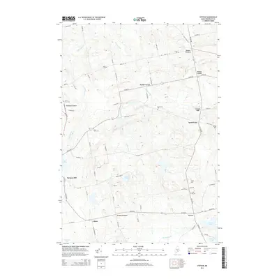
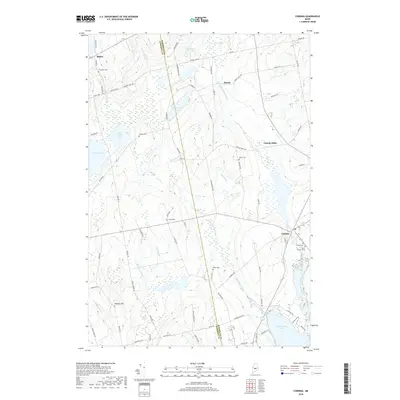
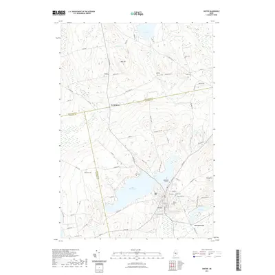
(20)- 2011 Map of Dexter, 2011 Print
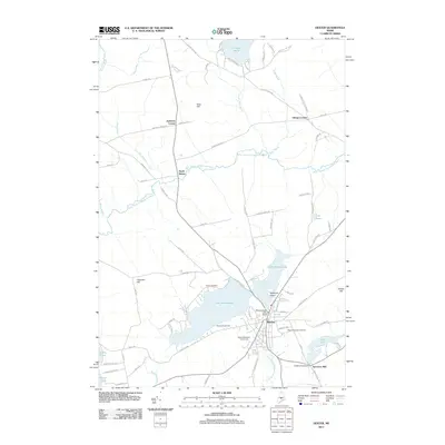 2011 Dexter2011 Print · USGSCovers Dexter, including Sangerville, Parkman, and other nearby areas
 - 2011 Map of Garland, 2011 Print
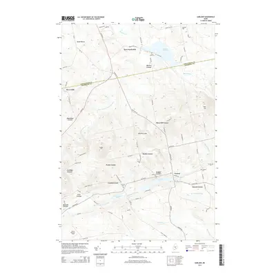
 2011 Garland2011 Print · USGSCovers Dexter, including Dover-Foxcroft, Corinna, and other nearby areas
 - 2011 Map of Stetson, 2011 Print
 2011 Stetson2011 Print · USGSCovers Dexter, including Newport, Corinna, and other nearby areas
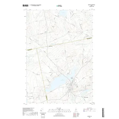
 - 2011 Map of Corinna, 2011 Print
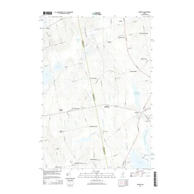
 2011 Corinna2011 Print · USGSCovers Dexter, including Newport, Corinna, and other nearby areas
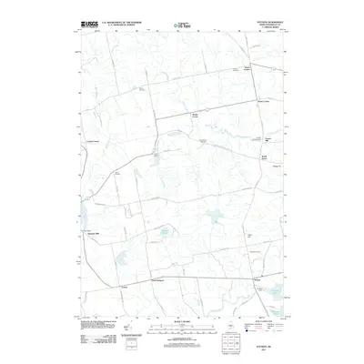
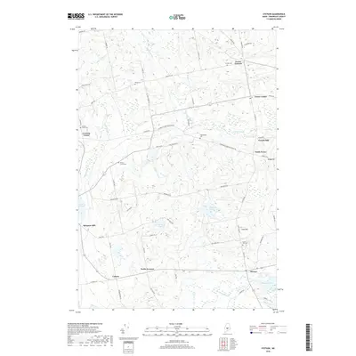
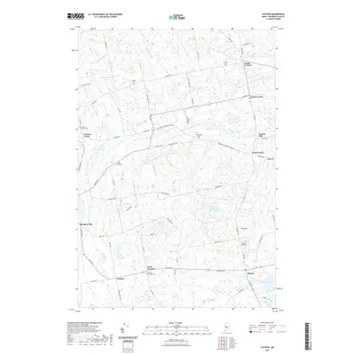
 - 2014 Map of Stetson, 2014 Print
 2014 Stetson2014 Print · USGSCovers Dexter, including Newport, Corinna, and other nearby areas
 - 2014 Map of Corinna, 2014 Print
 2014 Corinna2014 Print · USGSCovers Dexter, including Newport, Corinna, and other nearby areas
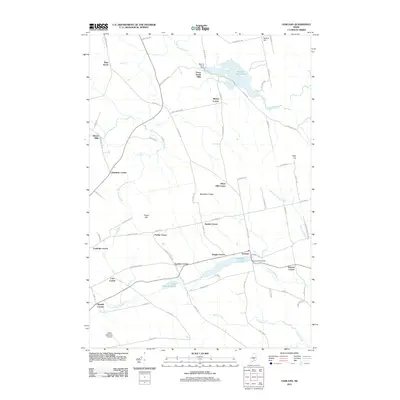
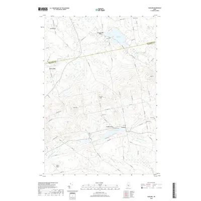
 - 2014 Map of Garland, 2014 Print
 2014 Garland2014 Print · USGSCovers Dexter, including Dover-Foxcroft, Corinna, and other nearby areas
 - 2014 Map of Dexter, 2014 Print
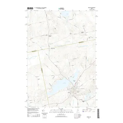 2014 Dexter2014 Print · USGSCovers Dexter, including Sangerville, Parkman, and other nearby areas
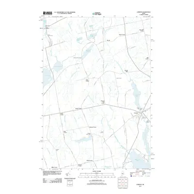
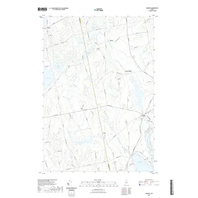
 - 2018 Map of Corinna, 2018 Print
 2018 Corinna2018 Print · USGSCovers Dexter, including Newport, Corinna, and other nearby areas
 - 2018 Map of Stetson, 2018 Print
 2018 Stetson2018 Print · USGSCovers Dexter, including Newport, Corinna, and other nearby areas
 - 2018 Map of Garland, 2018 Print
 2018 Garland2018 Print · USGSCovers Dexter, including Dover-Foxcroft, Corinna, and other nearby areas
 - 2018 Map of Dexter, 2018 Print
 2018 Dexter2018 Print · USGSCovers Dexter, including Sangerville, Parkman, and other nearby areas
 - 2021 Map of Garland, 2021 Print
 2021 Garland2021 Print · USGSCovers Dexter, including Dover-Foxcroft, Corinna, and other nearby areas
 - 2021 Map of Dexter, 2021 Print
 2021 Dexter2021 Print · USGSCovers Dexter, including Sangerville, Parkman, and other nearby areas
 - 2021 Map of Stetson, 2021 Print
 2021 Stetson2021 Print · USGSCovers Dexter, including Newport, Corinna, and other nearby areas
 - 2021 Map of Corinna, 2021 Print
 2021 Corinna2021 Print · USGSCovers Dexter, including Newport, Corinna, and other nearby areas
 - 2024 Map of Garland, 2024 Print
 2024 Garland2024 Print · USGSPenobscot and Piscataquis counties are shown in detail as they look today, centered on the historic village of Garland. Researchers can trace rural cemeteries such as West Garland Cem and Pine Grove Cem, or locate the site of the old Silvers Mills settlement.
 - 2024 Map of Dexter, 2024 Print
 2024 Dexter2024 Print · USGSCentral Maine's lakeside industry and rural burial grounds are documented here in the 2020s. Genealogists can trace family heritage through numerous sites like Mount Pleasant Cem and Elmwood Cem, or locate the historic Spooners Mill on the river.
 - 2024 Map of Stetson, 2024 Print
 2024 Stetson2024 Print · USGSPenobscot County is captured in this modern survey of its small-town crossroads and mill sites. Genealogists and researchers can trace family lines through several burial grounds like Morses Corner Cem and Crowell Cem, or locate historic hubs such as Spragues Mill.
 - 2024 Map of Corinna, 2024 Print
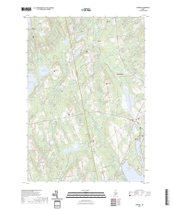 2024 Corinna2024 Print · USGSCorinna and the surrounding rural townships of central Maine are shown here in modern detail. Researchers can trace family history through numerous landmarks like Lincoln Mills, Weeks Cem, and the shores of Sebasticook Lake.
End of results
Showing maps 1-20 of 20
Top cities near Dexter
- Dover-Foxcroft historical maps
- Pittsfield historical maps
- Newport historical maps
- Levant historical maps
- Carmel historical maps
- Corinth historical maps
See more
Top neighborhoods of Dexter
- Carr Corner historical maps
- Coolidge Corner historical maps
- Haseltine Corner historical maps
- Russell Corner historical maps
- Silvers Mills historical maps
- Spooners Mill historical maps
See more
Frequently asked questions
- What are the different types of historical maps available for Dexter?
- What is the oldest map of Dexter?
- Where can I purchase historical maps of Dexter for my home or office?
- Where can I download high-res historical maps of Dexter?
- Are there historical topographic maps available for Dexter?
- Is there historical aerial imagery available for Dexter?
- Where are historical maps of Dexter sourced from?