2020s Maps of Milford, Maine
Explore 11 historic maps of Milford from the 2020s. These maps offer a rare glimpse into what life looked like during the 2020s — showing old roads, neighborhoods, homes, and landmarks that have changed or disappeared over time.
Whether you're researching your family's past, planning a metal detecting trip, or studying how Milford's landscape evolved across the 2020s, these high-resolution maps are a powerful tool for exploring the history of this region.
- Focus on a specific era: All maps on this page are from the 2020s, giving you a focused view of this time period.
- See what’s changed: Compare century-old streets, trails, and buildings to today's modern landscape using overlays and satellite layers.
- Research with precision: Use these maps for genealogy, historical research, land use analysis, or educational projects.
- View, download, or print: Maps are fully viewable online in high resolution, and can be downloaded or printed for your own records.
Start exploring Milford's history through authentic maps from the 2020s. This is your window into the past.
Milford, ME maps
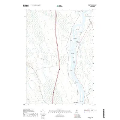
(11)- 2021 Map of Otter Chain Ponds, 2021 Print
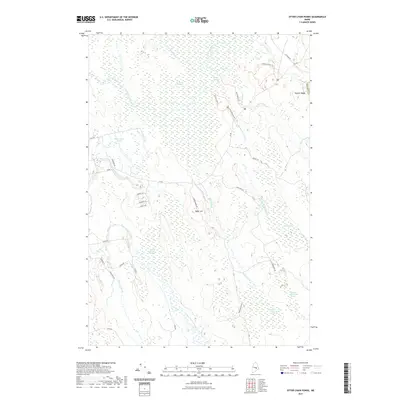 2021 Otter Chain Ponds2021 Print · USGSCovers Milford, including Bradley, Greenfield Township, and other nearby areas
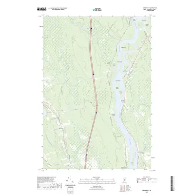
 - 2021 Map of The Horseback, 2021 Print
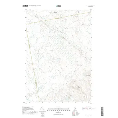 2021 The Horseback2021 Print · USGSCovers Milford, including Bradley, Amherst, and other nearby areas
 - 2021 Map of Old Town, 2021 Print
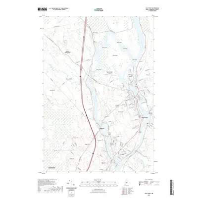 2021 Old Town2021 Print · USGSCovers Milford, including Bangor, Orono, and other nearby areas
 - 2021 Map of Olamon, 2021 Print
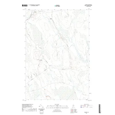 2021 Olamon2021 Print · USGSCovers Milford, including Greenbush, Greenfield Township, and other nearby areas
 - 2021 Map of Greenbush, 2021 Print
 2021 Greenbush2021 Print · USGSCovers Milford, including Old Town, Greenbush, and other nearby areas
 - 2023 Map of Greenbush, 2023 Print
 2023 Greenbush2023 Print · USGSCovers Milford, including Old Town, Greenbush, and other nearby areas
 - 2024 Map of Otter Chain Ponds, 2024 Print
 2024 Otter Chain Ponds2024 Print · USGSPenobscot County is captured in this modern survey during a period of ecological preservation and quiet residential growth. Researchers can trace the extensive wetlands of the Sunkhaze Meadows National Wildlife Refuge or locate local landmarks like Baker Hill and the Otter Chain Ponds.
 - 2024 Map of Old Town, 2024 Print
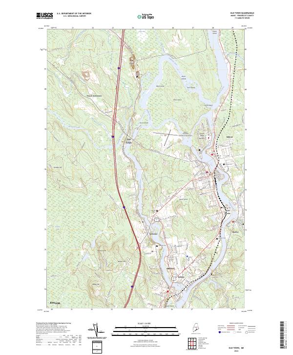 2024 Old Town2024 Print · USGSThe Penobscot and Stillwater Rivers converge in this detailed modern record of Maine's riverfront communities. Genealogists and historians can trace the evolution of Old Town, the University of Maine campus, and the distinct island geography of Indian Island.
 - 2024 Map of Olamon, 2024 Print
 2024 Olamon2024 Print · USGSPenobscot County is captured here in the contemporary era, showing a landscape defined by its riverine geography and protected wetlands. Genealogists and local historians can trace family locations near Welles Cem or explore the historic path of Military Rd near Cardville.
 - 2024 Map of Greenbush, 2024 Print
 2024 Greenbush2024 Print · USGSThe Penobscot River corridor comes into sharp focus here as it winds through northern Maine, creating a network of riverine islands. Genealogists and local historians can locate Cedarvale Cem, trace the roads near Alton Bog, and explore the riverfront at Greenbush.
 - 2024 Map of The Horseback, 2024 Print
 2024 The Horseback2024 Print · USGSHancock and Penobscot counties meet here among the working forests and glacial ridges of contemporary Maine. Genealogists and historians can locate the Jackson Cem near Myra or trace the drainage of Sunkhaze Stream below The Horseback.
End of results
Showing maps 1-11 of 11
Top cities near Milford
- Bangor historical maps
- Orono historical maps
- Brewer historical maps
- Hampden historical maps
- Old Town historical maps
- Glenburn historical maps
See more
Top neighborhoods of Milford
Frequently asked questions
- What are the different types of historical maps available for Milford?
- What is the oldest map of Milford?
- Where can I purchase historical maps of Milford for my home or office?
- Where can I download high-res historical maps of Milford?
- Are there historical topographic maps available for Milford?
- Is there historical aerial imagery available for Milford?
- Where are historical maps of Milford sourced from?