Old Maps of Newburgh, Maine for Hiking & Exploration
Hike through history with 48 historic maps of Newburgh. Explore old trails, ghost towns, and forgotten backroads — perfect for outdoor adventurers and local explorers.
- Rediscover forgotten places: Map out old mining camps, roads, and footpaths that no longer exist on modern maps.
- Layer with modern tools: Combine with LiDAR or satellite views to plan hikes through historical terrain.
- Made for exploration: Popular among hikers, overlanders, and local history lovers.
Use these maps to find adventure and explore the hidden past of Newburgh.
Newburgh, ME maps
(48)- 1900 Map of Bucksport
 1900 Bucksport1900 Print · USGSThe Penobscot River corridor is captured here at the turn of the century as a vital artery for rail, river, and granite industries. Genealogists and historians can trace family-named corners and landmarks like Fort Knox, the Quarry at Mt Waldo, and Prospect Ferry.
 - 1902 Map of Bucksport
 1902 Bucksport1902 Print · USGSCoastal Maine at the turn of the century centered on the maritime and rail traffic of the Penobscot River valley. Genealogists and historians can trace old family settlements from Newburg Village to Orrington, alongside industrial landmarks like the Quarry and the historic fortifications at Fort Knox.6 unique versions available
 - 1902 Map of Bangor
 1902 Bangor1902 Print · USGSThe Penobscot River valley at the turn of the century shows a bustling hub of rail and river commerce connecting Bangor and Brewer. Genealogists and historians can trace old homesteads and transit routes through Kenduskeag, Leather Corner, and along the Maine Central R. R.6 unique versions available
 - 1931 Map of Stetson
 1931 Stetson1931 Print · USGSPenobscot County townships like Stetson and Exeter were thriving rural communities in the early thirties before modern school consolidation. Genealogists can locate family homesteads near numerous local landmarks like the Holy Rollers Sch, Exeter Fairgrounds, and Damascus Sta.
 - 1932 Map of Brooks
 1932 Brooks1932 Print · USGSWaldo and Penobscot counties are shown here in the late twenties, organized around a series of hill peaks and the Belfast and Moosehead Lake RR. Researchers can locate dozens of country schools and mills, from Rollins Mills and Nickerson Mills to the East Thorndike Ch.3 unique versions available
 - 1935 Map of Stetson
 1935 Stetson1935 Print · USGSPenobscot County townships show their early twentieth-century character in this 1930s survey of central Maine. Genealogists and local historians can trace schoolhouse locations like Partridge Sch and rail-line settlements such as Etna and Carmel.3 unique versions available
 - 1942 Map of Bangor
 1942 Bangor1942 Print · USGSThe Penobscot River valley thrives in this early-forties survey of the region's industrial and rural heart. Trace the historic street plans of Bangor and Brewer or locate family homesteads near Leather Corner and Snow Corner.
 - 1942 Map of Bucksport
 1942 Bucksport1942 Print · USGSThe mid-century Penobscot River valley is captured here just as the river-and-rail economy defined local life. Genealogists and historians can trace family-named crossroads like Nealeys Corner and Ellingwoods Corner or locate the landmark Fort Knox and Prospect Ferry.
 - 1946 Map of Bangor
 1946 Bangor1946 Print · USGSBangor and the Penobscot River are captured here in the mid-1940s, showing a critical hub of rail transport and military aviation. Local historians can trace the development of Dow Field, find local schools like Tennyson Sch, or locate family plots in Lakeview Cem.3 unique versions available
 - 1948 Map of Bangor
 1948 Bangor1948 Print · USGSThe Maine coast and its industrial river valleys are captured here shortly after the war, showing the vital shipping and rail hubs of the late 1940s. Genealogists and historians can trace the tracks of the Maine Central RR connecting Bangor, Augusta, and Old Town.
 - 1948 Map of Bucksport
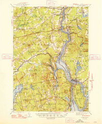 1948 Bucksport1948 Print · USGSMid-coast Maine at the end of the 1940s reveals a bustling corridor of river commerce and rail transport along the Penobscot River. Researchers can trace old family lines at Wiswell Cem, locate the historic Fort Knox State Park, and follow the tracks of the Bangor and Aroostook through towns like Winterport.2 unique versions available
 - 1955 Map of Bucksport, 1957 Print
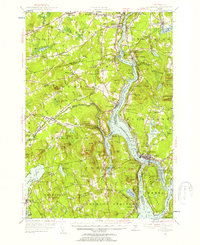 1955 Bucksport1957 Print · USGSThe Penobscot River valley thrives as a rail and maritime corridor during the mid-fifties, anchored by the industrial activities at Mt Waldo. Genealogists and historians can locate legacy family sites including Wiswell Cem, Nealys Corner, and the historic Fort Knox State Park.4 unique versions available
 - 1955 Map of Bangor, 1957 Print
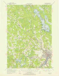 1955 Bangor1957 Print · USGSBangor and the surrounding Penobscot Valley are captured here in the mid-fifties, showing a landscape defined by riverside industry and lakefront life. Researchers can trace historic rail connections at Northern Maine Junction and locate family landmarks like Lakeside Ldg or Evergreen Cem.3 unique versions available
 - 1955 Map of Brooks, 1957 Print
 1955 Brooks1957 Print · USGSMid-century Waldo County is captured here as a network of rural hamlets and upland farms before modern development. Genealogists and historians can trace family locations through numerous named corners, country schools like Knowlton Sch, and local mills including Rollins Mills.4 unique versions available
 - 1955 Map of Stetson, 1957 Print
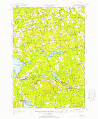 1955 Stetson1957 Print · USGSPenobscot County in the mid-1950s is shown as a thriving landscape of rural corner settlements and lakeside communities. Genealogists and historians can trace family lines through numerous rural burying grounds like Corinthian Cem or locate the site of the Longfellow Sch and Durham Bridge.3 unique versions available
 - 1956 Map of Bangor, 1966 Print
 1956 Bangor1966 Print · USGSMid-century Maine comes alive in this survey of the rugged coast and river valleys during the 1950s. Genealogists and historians can trace the vital rail corridors of the Maine Central RR connecting timber towns like Old Town to the coast at Bar Harbor.3 unique versions available
 - 1960 Map of Bangor
 1960 Bangor1960 Print · USGSCentral Maine in the sixties reveals a landscape of river-powered industry and sprawling coastal island chains. Researchers can trace the rail corridors of the Maine Central or locate mid-century aviation landmarks like Dow Air Force Base.
 - 1961 Map of Bangor
 1961 Bangor1961 Print · USGSMid-century Maine comes alive through its busy river ports and rocky archipelagoes during a period of steady maritime and rail commerce. Researchers can trace the path of the Maine Central railroad and locate coastal landmarks from Acadia National Park to Vinalhaven Island.
 - 1975 Map of Brooks NE, 1980 Print
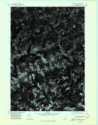 1975 Brooks NE1980 Print · USGSPenobscot County communities appear in high-resolution detail during the mid-seventies in this aerial orthophotoquad. Genealogists and local historians can trace the exact layouts of rural settlements like Dixmont Center, East Dixmont, and Newburg.
 - 1976 Map of Stetson SE, 1980 Print
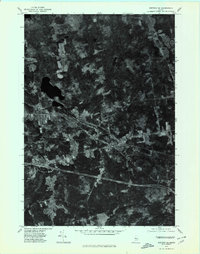 1976 Stetson SE1980 Print · USGSPenobscot County in the mid-seventies is documented here through a detailed aerial perspective of its rural villages and woodlands. Researchers can trace the layout of Carmel and South Levant or locate property clearings near Souadabscook Stream.
 - 1978 Map of Hermon
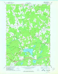 1978 Hermon1978 Print · USGSPenobscot County is captured here in the late seventies, showing a landscape of railroad crossings, small corners, and marshlands. Researchers can trace family history through local burial sites like Lakeview Cem or locate the old Slate Quarry and the Maine Central rail line.
 - 1981 Map of Snow Mountain, 1982 Print
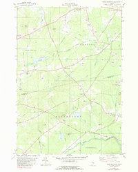 1981 Snow Mountain1982 Print · USGSRural Penobscot and Waldo Counties come into focus during the late 1970s, showcasing a landscape of timbered hills and crossroads hamlets. Genealogists and local historians can trace family locations near Newburgh Village, Twining Cem, and the old Winterport Sta railroad stop.
 - 1982 Map of Snow Mountain
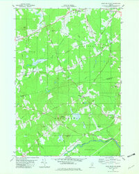 1982 Snow Mountain1982 Print · USGSPenobscot and Waldo counties come alive in the early eighties as a mosaic of small-town corners and rural hills. Genealogists and local historians can trace family plots at Chapman Cem, locate the Newburgh Sch, or explore the site of the Abandoned Airfield.2 unique versions available
 - 1982 Map of Carmel, 1983 Print
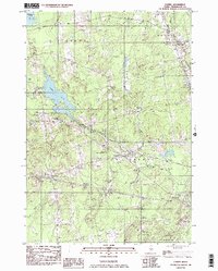 1982 Carmel1983 Print · USGSPenobscot County's rural townships are shown here in the early eighties as the local landscape balanced small-town life with seasonal recreation. Genealogists and local historians can locate family plots at Highland Cem, trace the settlement at Damascus, or find old landmarks like Ring Hill Airport.2 unique versions available
 - 1982 Map of East Dixmont, 1983 Print
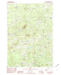 1982 East Dixmont1983 Print · USGSPenobscot and Waldo counties meet in this early 1980s look at rural Maine as it transitioned between traditional farming and modern infrastructure. Genealogists can locate over a dozen family burial grounds including Bean Cem and Lufkin Cem, while tracing old routes like North Road.2 unique versions available
Showing maps 1-25 of 48
Top cities near Newburgh
- Bangor historical maps
- Orono historical maps
- Hampden historical maps
- Old Town historical maps
- Belfast historical maps
- Hermon historical maps
See more
Top neighborhoods of Newburgh
- Newburgh Center historical maps
- South Newburgh historical maps
- Arnold Corner historical maps
- North Newburgh historical maps
- Newburgh Village historical maps
Frequently asked questions
- What are the different types of historical maps available for Newburgh?
- What is the oldest map of Newburgh?
- Where can I purchase historical maps of Newburgh for my home or office?
- Where can I download high-res historical maps of Newburgh?
- Are there historical topographic maps available for Newburgh?
- Is there historical aerial imagery available for Newburgh?
- Where are historical maps of Newburgh sourced from?