Old Maps of T7 R6 WELS, Maine for Academic Research
Study the evolution of T7 R6 WELS with 41 high-resolution historic maps. Whether you're teaching, researching, or modeling changes in land use, these maps provide essential visual documentation of urban, environmental, and geographic change.
- Analyze long-term change: Track patterns in development, transportation, and natural features.
- Ideal for environmental or urban studies: Support academic projects with primary historical map data.
- Use in the classroom or lab: Educators and researchers rely on these maps to bring historical context to life.
These maps are a powerful tool for teaching, research, and visualizing how T7 R6 WELS has changed over the decades.
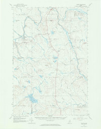
T7 R6 WELS, ME maps
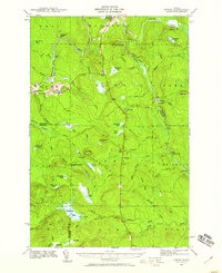
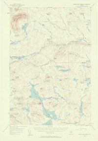
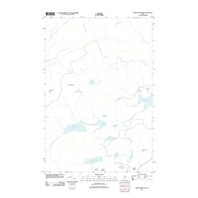
(41)- 1940 Map of Island Falls, 1957 Print
 1940 Island Falls1957 Print · USGSThe river-and-rail landscape of southern Aroostook County is captured here in the years before the war. Researchers can trace the exact locations of numerous rural schoolhouses like Allsbury Sch and Myrick Sch or locate the Bangor and Aroostook RR through Island Falls.4 unique versions available
 - 1940 Map of Oxbow, 1960 Print
 1940 Oxbow1960 Print · USGSAroostook County was a remote timber and river frontier when this survey was conducted in the early 1940s. Genealogists and historians can trace old homesteads around Oxbow, locate the Oxbow East End School, and follow the Loghauler Road through the woods.
 - 1942 Map of Island Falls
 1942 Island Falls1942 Print · USGSNorthern Maine's timber and rail frontier comes into focus in the early 1940s as the Bangor and Aroostook RR connects the woods to the world. Genealogists and historians can trace numerous rural schoolhouses like Rockabema Sch and the storied Patten Academy among the hills of Mount Chase.
 - 1942 Map of Oxbow
 1942 Oxbow1942 Print · USGSNorthern Maine's timber and rail landscape is captured here during the early 1940s, centered on the river-bound community of Oxbow. Genealogists can locate Willard Cem, East End Sch, and remote logging outposts like Camp Violette.2 unique versions available
 - 1954 Map of Shin Pond, 1956 Print
 1954 Shin Pond1956 Print · USGSThe Maine North Woods in the 1950s remained a landscape of isolated timber farms and sporting camps. Researchers can trace the early logging infrastructure and river camps at Seboeis Farm, Bowlin Camps, and the settlement at Allsbury.4 unique versions available
 - 1954 Map of Grand Lake Seboeis, 1958 Print
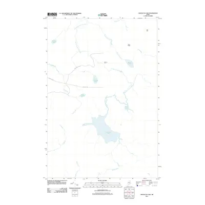
 1954 Grand Lake Seboeis1958 Print · USGSThe North Maine Woods in the mid-fifties reveal a rugged landscape of sporting camps and timber townships along the Aroostook River. Genealogists and historians can trace the locations of isolated outposts like Junkins Camp, the Forest Service Camp, and the distant Cunningham Mine.3 unique versions available
 - 1954 Map of Presque Isle, 1968 Print
 1954 Presque Isle1968 Print · USGSNorth Woods logging and rail history come alive in this mid-century survey of the Maine-Quebec borderlands. Genealogists and historians can trace the Bangor and Aroostook railroad through timber hubs like Ashland, Smyrna Mills, and Presque Isle.2 unique versions available
 - 1958 Map of Presque Isle
 1958 Presque Isle1958 Print · USGSThe Aroostook timber and potato country is captured here during the late fifties, showing the vital rail-to-river network of Northern Maine. Genealogists and historians can trace the Bangor & Aroostook RR through Mapleton and Ashland, or locate remote sites like Chamberlain Farm and Seven Islands.
 - 1960 Map of Presque Isle
 1960 Presque Isle1960 Print · USGSNorthern Maine during the mid-century was a land of timber, rails, and strategic airfields. Genealogists and historians can trace the growth of Presque Isle and Ashland or explore the remote northern reaches of Baxter State Park and Presque Isle AFB.3 unique versions available
 - 1965 Map of Oxbow, 1969 Print
 1965 Oxbow1969 Print · USGSNorthern Maine's timberlands are documented here in the mid-sixties, focusing on the remote settlements of Oxbow Plantation and Masardis. Researchers can trace the Houlton Trail or locate local landmarks like the East End Sch and Camp Violette.3 unique versions available
 - 1975 Map of Shin Pond NE, 1980 Print
 1975 Shin Pond NE1980 Print · USGSThe deep Maine woods in northern Penobscot County appear in this mid-seventies orthophotograph, capturing a remote landscape shaped by timber and water. Researchers can trace the winding course of the Seboeis River and a small Brook through the dense forest canopy.
 - 1975 Map of Island Falls NW, 1980 Print
 1975 Island Falls NW1980 Print · USGSThe Maine woods near Island Falls are captured in the mid-1970s via high-altitude aerial photography. Trace the literal shorelines of Rockabema Lake and Pleasant Lake or locate the remote peaks of Green Mtn and Pickett Mtn.
 - 1975 Map of Grand Lake Seboeis SE, 1981 Print
 1975 Grand Lake Seboeis SE1981 Print · USGSPenobscot County in the mid-1970s is shown in this detailed orthophotoquad, documenting the deep Maine woods and its working waterways. Trace the network of timber roads and drainage patterns around La Pomkeag Lake, Carey Lake, and Snowshoe Lake.
 - 1975 Map of Oxbow SW, 1981 Print
 1975 Oxbow SW1981 Print · USGSPenobscot County’s deep woods are captured in this mid-seventies aerial survey, showing the landscape as it appeared just before the 1980s. Naturalists and historians can trace the intricate wetlands surrounding Umcolcus Lake and the winding course of the East Branch Umcolcus Stream.
 - 1985 Map of Oakfield
 1985 Oakfield1985 Print · USGSAroostook County in the 1980s displays a balance between the timber-and-rail industry and the protected wilderness of the North Woods. Genealogists and local historians can trace family-named hubs like Smyrna Mills, Island Falls, and Knowles Corner along the Bangor and Aroostook railroad line.
 - 1985 Map of La Pomkeag, 1986 Print
 1985 La Pomkeag1986 Print · USGSPenobscot County was a landscape of deep timber and remote sporting camps in the mid-1980s. Local researchers can locate family landmarks and timber history at Frazier Camp, Dunn Camp, and the waters of Grand Lake Seboeis.
 - 1986 Map of Hay Brook Mtn
 1986 Hay Brook Mtn1986 Print · USGSPenobscot County in the mid-1980s was a landscape of remote river camps and timber tracts. Researchers can trace the winding Seboeis River through the Upper Seboeis River Gorge and locate remote outposts like Hay Brook Farm.
 - 1986 Map of Green Mountain
 1986 Green Mountain1986 Print · USGSThe Maine wilderness at the border of Penobscot and Aroostook counties is documented here in the mid-1980s. Researchers can trace remote logging routes and water systems including Rockabema Lake, Pleasant Lake, and the small settlement at Halls Corner.
 - 1986 Map of Umcolcus Lake, 1987 Print
 1986 Umcolcus Lake1987 Print · USGSPenobscot and Aroostook counties met in these Maine timberlands during the 1980s, a landscape defined by unorganized townships and glacial waters. Trace the drainages of Umcolcus Lake and Wadleigh Bog or locate regional landmarks like Yerxa Ridge.
 - 1986 Map of La Pomkeag Lake, 1990 Print
 1986 La Pomkeag Lake1990 Print · USGSNorthern Maine in the 1980s is shown here as a wilderness of timber and water, defined by the remote township lines of Penobscot County. Researchers can trace seasonal logging history at Frazier Camp and Dunn Camp or locate water bodies like La Pomkeag Lake and Cut Lake.
 - 1994 Map of Oakfield
 1994 Oakfield1994 Print · USGSAroostook County's North Woods and rural settlements are shown here in the mid-1990s, capturing the region's transition from forest to farmland. Trace the path of the Bangor and Aroostook RR through Smyrna Mills or locate landings on Millinocket Lake.
 - 2011 Map of La Pomkeag Lake, 2011 Print
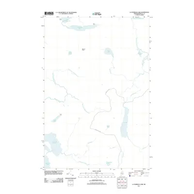 2011 La Pomkeag Lake2011 Print · USGSCovers T7 R6 WELS, including T8 R7 WELS, T7 R7 WELS, and other nearby areas
 - 2011 Map of Hay Brook Mountain, 2011 Print
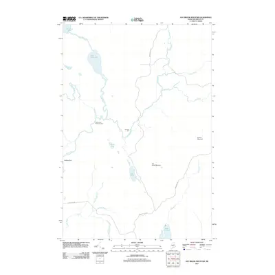 2011 Hay Brook Mountain2011 Print · USGSCovers T7 R6 WELS, including Mount Chase, Lower Shin Pond, and other nearby areas
 - 2011 Map of Green Mountain, 2011 Print
 2011 Green Mountain2011 Print · USGSCovers T7 R6 WELS, including Mount Chase, Moro Plantation, and other nearby areas
 - 2011 Map of Umcolcus Lake, 2011 Print
 2011 Umcolcus Lake2011 Print · USGSCovers T7 R6 WELS, including T7 R5 WELS, T8 R5 WELS, and other nearby areas
Showing maps 1-25 of 41
Top cities near T7 R6 WELS
- Patten historical maps
- Island Falls historical maps
- Crystal historical maps
- Dyer Brook historical maps
- Merrill historical maps
- Masardis historical maps
See more
Frequently asked questions
- What are the different types of historical maps available for T7 R6 WELS?
- What is the oldest map of T7 R6 WELS?
- Where can I purchase historical maps of T7 R6 WELS for my home or office?
- Where can I download high-res historical maps of T7 R6 WELS?
- Are there historical topographic maps available for T7 R6 WELS?
- Is there historical aerial imagery available for T7 R6 WELS?
- Where are historical maps of T7 R6 WELS sourced from?