1980s Maps of T4 R9 NWP, Maine
Explore 7 historic maps of T4 R9 NWP from the 1980s. These maps offer a rare glimpse into what life looked like during the 1980s — showing old roads, neighborhoods, homes, and landmarks that have changed or disappeared over time.
Whether you're researching your family's past, planning a metal detecting trip, or studying how T4 R9 NWP's landscape evolved across the 1980s, these high-resolution maps are a powerful tool for exploring the history of this region.
- Focus on a specific era: All maps on this page are from the 1980s, giving you a focused view of this time period.
- See what’s changed: Compare century-old streets, trails, and buildings to today's modern landscape using overlays and satellite layers.
- Research with precision: Use these maps for genealogy, historical research, land use analysis, or educational projects.
- View, download, or print: Maps are fully viewable online in high resolution, and can be downloaded or printed for your own records.
Start exploring T4 R9 NWP's history through authentic maps from the 1980s. This is your window into the past.
T4 R9 NWP, ME maps
(7)- 1985 Map of Millinocket, 1986 Print
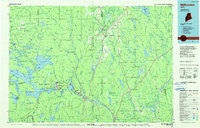 1985 Millinocket1986 Print · USGSThe North Maine Woods were a landscape of industrial timber and wilderness recreation in the mid-eighties. Genealogists and researchers can trace local settlements and rail stops like Sherman Mills, Wytopitlock, and the Old Long A Siding near the Penobscot River.2 unique versions available
 - 1985 Map of Lincoln, 1994 Print
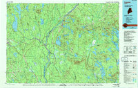 1985 Lincoln1994 Print · USGSPenobscot County in the mid-eighties remains a landscape of river-based commerce and sprawling timberlands connected by rail. You can trace the historic paths of the Maine Central RR and Canadian Pacific RR or locate rural sites like Enfield Station and the Winn Cem.
 - 1986 Map of Lincoln
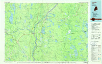 1986 Lincoln1986 Print · USGSMid-century Maine settlement and industry converge along the Penobscot and Piscataquis rivers during the 1980s. Researchers can trace the rail networks of the Maine Central and Bangor and Aroostook through towns like Howland and Milo.
 - 1988 Map of Seboeis Lake
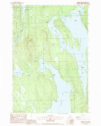 1988 Seboeis Lake1988 Print · USGSPiscataquis County's interior waterways and mountains are documented here in the late eighties, just before the turn of the decade. Researchers can locate former settlements like Packards (Site) and trace the shorelines of Seboeis Lake and Schoodic Lake.
 - 1988 Map of Cedar Lake
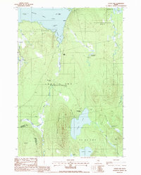 1988 Cedar Lake1988 Print · USGSThe Maine North Woods at the end of the twentieth century shows a landscape of timber management and remote lakeside camps. Genealogists and historians can trace the old rail footprints at Ingalls Siding or locate the seasonal dwellings at Cedar Lake Camps and Perkins.
 - 1988 Map of Ragged Mountain
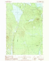 1988 Ragged Mountain1988 Print · USGSPenobscot and Piscataquis counties are shown here in the late eighties, documenting a remote landscape of interconnected lakes and mountain terrain. Trace the waterway from Upper Jo-Mary Lake to South Twin Lake or locate Balancing Rock on the slopes of Ragged Mountain.
 - 1988 Map of Endless Lake
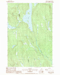 1988 Endless Lake1988 Print · USGSThe Maine backcountry near the Penobscot and Piscataquis county line is captured here in the late eighties, showing a landscape defined by water and timber. Researchers can locate specific landmarks like Dudley Rips, the expanse of One Thousand Acre Bog, and Deadman Cove on the shores of Endless Lake.
End of results
Showing maps 1-7 of 7
Top cities near T4 R9 NWP
- Dover-Foxcroft historical maps
- Millinocket historical maps
- Milo historical maps
- Brownville historical maps
- Howland historical maps
- Sebec historical maps
See more
Top neighborhoods of T4 R9 NWP
Frequently asked questions
- What are the different types of historical maps available for T4 R9 NWP?
- What is the oldest map of T4 R9 NWP?
- Where can I purchase historical maps of T4 R9 NWP for my home or office?
- Where can I download high-res historical maps of T4 R9 NWP?
- Are there historical topographic maps available for T4 R9 NWP?
- Is there historical aerial imagery available for T4 R9 NWP?
- Where are historical maps of T4 R9 NWP sourced from?