Old Maps of Mayfield Township, Maine for Metal Detecting
Plan your next treasure hunt with 38 historic maps of Mayfield Township. Find old homesites, ghost towns, trails, and gathering spots that may be lost to time — perfect for identifying promising metal detecting locations.
- Locate forgotten sites: Uncover places like long-lost settlements, abandoned rail lines, or gathering spots.
- Plan better hunts: Use map overlays combined with LiDAR or satellite views to narrow in on historically rich areas.
- Made for detectorists: Thousands of hobbyists use these maps to discover relics, coins, and hidden history.
Use these historic maps to boost your research and find new opportunities beneath the surface of Mayfield Township.
Mayfield Township, ME maps
(38)- 1903 Map of Bingham, 1957 Print
 1903 Bingham1957 Print · USGSSomerset County’s river valleys and timberlands are captured here at the turn of the century, centered on the growing village of Bingham. Genealogists and historians can trace early settlements and wilderness landmarks from Caratunk to the shores of Pleasant Pond and Austin Stream.
 - 1905 Map of Bingham
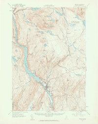
 1905 Bingham1905 Print · USGSSomerset County's river-driven economy and rugged highlands are captured here in the early 1900s. Researchers can trace the Carrying Place portage route and locate early homesteads near Bingham, Merrill Pond, and Pierce Hill.5 unique versions available
 - 1948 Map of Kingsbury, 1953 Print
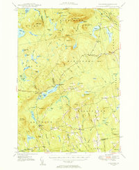 1948 Kingsbury1953 Print · USGSCentral Maine's high country is captured here just after the war, showing the rural intersections of Piscataquis and Somerset Counties. Genealogists and historians can trace the family-named crossroads of Mayfield Corner, Hutchins Corner, and Moody Corner, alongside the Campbell Sch.3 unique versions available
 - 1950 Map of Kingsbury
 1950 Kingsbury1950 Print · USGSThe Maine interior at the dawn of the fifties is a patchwork of small crossroads and remote ponds. Genealogists and historians can trace family locations near Mayfield Corner, Brighton, and the Foss Hill Cem, or explore the rural school districts like Campbell Sch.2 unique versions available
 - 1954 Map of Millinocket, 1968 Print
 1954 Millinocket1968 Print · USGSMaine's North Woods and the Penobscot Valley are captured here during the mid-century era of logging and rail dominance. You can trace the path of the Bangor and Aroostook Railroad through timber towns like Millinocket, Mattawamkeag, and Silver Ridge.3 unique versions available
 - 1956 Map of Bingham, 1962 Print
 1956 Bingham1962 Print · USGSThe Kennebec River valley in the mid-1950s shows a landscape of hydropower and high-elevation ponds before significant modern development. Genealogists and historians can trace the footprint of Bingham and Moscow, locate the Longfellow Sch, and follow the Appalachian Trail past Pleasant Ridge.2 unique versions available
 - 1958 Map of Millinocket
 1958 Millinocket1958 Print · USGSMaine's North Woods and the Penobscot river valley are captured here in the mid-1950s, showing a landscape of timber, rail, and wild waters. Researchers can trace the legacy of the Canadian Pacific railroad and find historic settlements like Millinocket, Sherman Station, and Mattawamkeag.
 - 1960 Map of Millinocket
 1960 Millinocket1960 Print · USGSThe Maine North Woods and Penobscot River valley are captured at mid-century during the height of the paper milling era. Researchers can trace the Appalachian Trail near Mount Katardin or locate family roots in towns like Dover-Foxcroft and Milo.3 unique versions available
 - 1975 Map of Bingham SE, 1980 Print
 1975 Bingham SE1980 Print · USGSIn the mid-1970s, this Somerset County landscape was a mosaic of timberland and winding waterways. Researchers can trace the path of the Kennebec River and locate isolated features like Withee Pond or the heights of Johnson Mountain.
 - 1975 Map of Bingham NE, 1980 Print
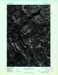
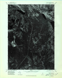 1975 Bingham NE1980 Print · USGSThe Maine woods of the mid-1970s are captured in this aerial orthophotograph of the Somerset County backcountry. Researchers can trace the timber roads and drainage patterns around Austin Pond and Dimmick Mountain.
 - 1975 Map of Kingsbury SW, 1980 Print
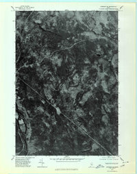
 1975 Kingsbury SW1980 Print · USGSSomerset County's upland forests and small settlements are shown as they appeared in the mid-1970s through this aerial orthophotograph. Researchers can trace the clearings around Kingsbury and Brighton or locate the peaks of Foss Mountain and Bald Mountain.
 - 1975 Map of Kingsbury NW, 1980 Print
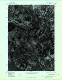 1975 Kingsbury NW1980 Print · USGSCentral Maine forest land is captured in this mid-seventies aerial orthophoto, showing the remote timberlands of Somerset County. Trace the wild shorelines of Spectacle Pond and Palmer Pond or locate landmarks like Foss Hill Ridge.
 - 1986 Map of Dover-Foxcroft
 1986 Dover-Foxcroft1986 Print · USGSPiscataquis County at the edge of the great Maine woods is documented here in the mid-1980s, centered on the river-and-rail hubs of the interior. Trace the industrial footprints of Dover South Mills, the rail yards at Brownville Junction, or the historic Katahdin Iron Works.
 - 1989 Map of Kingsbury
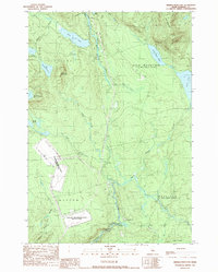
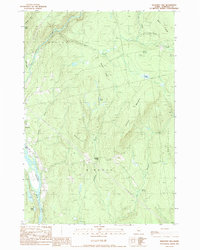
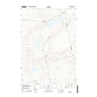
 1989 Kingsbury1989 Print · USGSThe Maine interior during the late twentieth century reveals a landscape of high ridges and extensive bogs centered on Kingsbury Pond. Genealogists and local researchers can trace old routes between Brighton and Mayfield Corner or locate family landmarks like Mulhern Hill.
 - 1989 Map of Dimmick Mountain
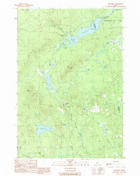
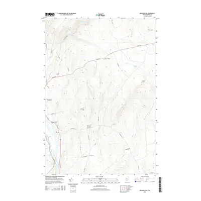
 1989 Dimmick Mountain1989 Print · USGSSomerset County was characterized by a unique mix of remote wilderness and Cold War-era infrastructure in the late eighties. Researchers can trace the Appalachian Trail as it passes near Baker Pond and the extensive Moscow Air Force Station Transmit Site.
 - 1989 Map of Mahoney Hill
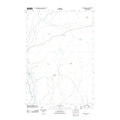
 1989 Mahoney Hill1989 Print · USGSThe Maine North Woods and the Kennebec River valley come into focus during the late eighties, showing the transition from settlement to timberland. Local researchers can trace family landmarks like Johnson Corner, the Cem, and shoreline features including Lily Pond and Big Island.
 - 1989 Map of Foster Ridge
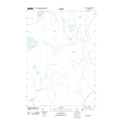
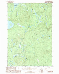 1989 Foster Ridge1989 Print · USGSSomerset and Piscataquis counties meet in this backcountry landscape during the late eighties, a time when the region remained dominated by mountain ponds and unorganized plantations. You can trace the rugged topography of Foster Ridge and locate family-named landmarks like Hayden Pond or the extensive wetlands at Kingsley Bog.
 - 1994 Map of Dover-Foxcroft
 1994 Dover-Foxcroft1994 Print · USGSCentral Maine in the mid-nineties shows a landscape of timber-driven towns and deep glacial lakes. Trace the paths of the Canadian Pacific RR or locate the Moscow Air Force Station Transmit Site and Sebec Lake.
 - 2011 Map of Dimmick Mountain, 2011 Print
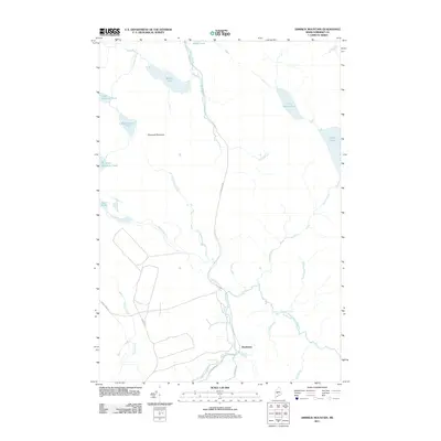 2011 Dimmick Mountain2011 Print · USGSCovers Mayfield Township, including Moscow, Caratunk, and other nearby areas
 - 2011 Map of Kingsbury, 2011 Print
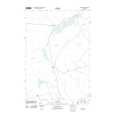 2011 Kingsbury2011 Print · USGSCovers Mayfield Township, including Athens, Wellington, and other nearby areas
 - 2011 Map of Mahoney Hill, 2011 Print
 2011 Mahoney Hill2011 Print · USGSCovers Mayfield Township, including Bingham, Moscow, and other nearby areas
 - 2011 Map of Foster Ridge, 2011 Print
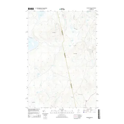
 2011 Foster Ridge2011 Print · USGSCovers Mayfield Township, including Blanchard Township, Kingsbury Plantation, and other nearby areas
 - 2014 Map of Kingsbury, 2014 Print
 2014 Kingsbury2014 Print · USGSCovers Mayfield Township, including Athens, Wellington, and other nearby areas
 - 2014 Map of Mahoney Hill, 2014 Print
 2014 Mahoney Hill2014 Print · USGSCovers Mayfield Township, including Bingham, Moscow, and other nearby areas
 - 2014 Map of Foster Ridge, 2014 Print
 2014 Foster Ridge2014 Print · USGSCovers Mayfield Township, including Blanchard Township, Kingsbury Plantation, and other nearby areas
Showing maps 1-25 of 38
Top cities near Mayfield Township
- Hartland historical maps
- Cornville historical maps
- Solon historical maps
- Athens historical maps
- Embden historical maps
- Bingham historical maps
See more
Top neighborhoods of Mayfield Township
Frequently asked questions
- What are the different types of historical maps available for Mayfield Township?
- What is the oldest map of Mayfield Township?
- Where can I purchase historical maps of Mayfield Township for my home or office?
- Where can I download high-res historical maps of Mayfield Township?
- Are there historical topographic maps available for Mayfield Township?
- Is there historical aerial imagery available for Mayfield Township?
- Where are historical maps of Mayfield Township sourced from?