Old Maps of Kossuth Township, Maine for Academic Research
Study the evolution of Kossuth Township with 33 high-resolution historic maps. Whether you're teaching, researching, or modeling changes in land use, these maps provide essential visual documentation of urban, environmental, and geographic change.
- Analyze long-term change: Track patterns in development, transportation, and natural features.
- Ideal for environmental or urban studies: Support academic projects with primary historical map data.
- Use in the classroom or lab: Educators and researchers rely on these maps to bring historical context to life.
These maps are a powerful tool for teaching, research, and visualizing how Kossuth Township has changed over the decades.
Kossuth Township, ME maps
(33)- 1941 Map of Scraggly Lake
 1941 Scraggly Lake1941 Print · USGSBaskahegan Lake and the surrounding Maine timberlands are captured here in the early 1940s, showing a landscape defined by water and woods. Genealogists and researchers can trace remote landmarks like the FIRETOWER on Musquash Mountain or the old route of Gentner Road.6 unique versions available
 - 1944 Map of Scraggly Lake
 1944 Scraggly Lake1944 Print · USGSThe timberlands and interconnected waterways of eastern Maine are captured here in the early 1940s. Genealogists and historians can trace the remote township boundaries of Topsfield and Talmadge or locate landmarks like Black Cat Rips and Musquash Mountain.
 - 1957 Map of Fredericton, 1981 Print
 1957 Fredericton1981 Print · USGSThe New Brunswick and Maine borderlands come into focus in the mid-fifties, dominated by the Saint John River and massive military tracts. Genealogists can locate riverfront hamlets like Maugerville or inland sites like Scotch Settlement along the Canadian Pacific rail line.
 - 1963 Map of Fredericton
 1963 Fredericton1963 Print · USGSThe Saint John River valley and the Maine-New Brunswick border are captured here during the early sixties. Researchers can trace the Canadian Pacific rail lines through rural settlements like Jewetts Mills, Mckeens Corner, and Scotch Settlement.
 - 1975 Map of Scraggly Lake SW, 1980 Print
 1975 Scraggly Lake SW1980 Print · USGSCovers Kossuth Township, including Carroll Plantation, Pukakon Township, and other nearby areas
 - 1975 Map of Scraggly Lake NE, 1980 Print
 1975 Scraggly Lake NE1980 Print · USGSThe Maine timberlands and the southern reaches of Baskahegan Lake are captured here in the mid-1970s. Researchers can trace the era's logging roads and the winding course of Baskahegan Stream through the dense forest canopy.
 - 1975 Map of Scraggly Lake NW, 1980 Print
 1975 Scraggly Lake NW1980 Print · USGSThe northern Maine woods appear in the mid-1970s as a dense, undeveloped landscape of timber and water. Genealogists and outdoorsmen can trace the natural flow of the Stream and Brook through this remote backcountry.
 - 1986 Map of Calais
 1986 Calais1986 Print · USGSCoastal and interior Washington County are captured here in the mid-1980s, where the international border follows the winding St Croix River. Genealogists and historians can trace the rail lines of the Maine Central and find landmarks like Red Beach and Princeton Airport.
 - 1988 Map of Farrow Mountain
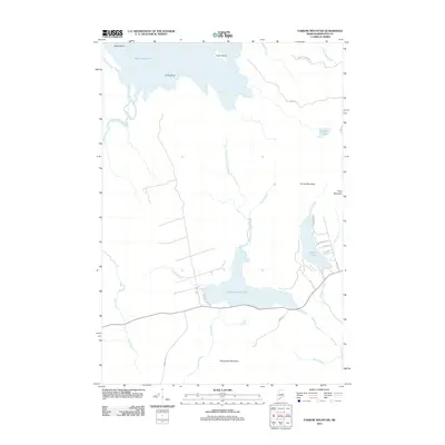
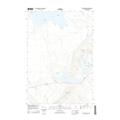
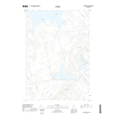
 1988 Farrow Mountain1988 Print · USGSThe Maine wilderness near the end of the century is defined here by the waters of East Musquash Lake and the peaks of Farrow Mountain. Historians and outdoorsmen can trace the local drainage through Black Cat Rips and the wetlands of Caribou Bog.
 - 1988 Map of Dill Hill
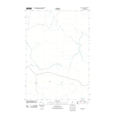
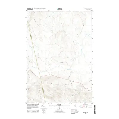
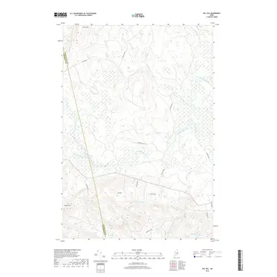
 1988 Dill Hill1988 Print · USGSInland Washington and Penobscot counties are shown during the late 1980s, a period defined by vast timberlands and complex waterway networks. Researchers can trace the flow of Big Baskahegan Stream and locate local landmarks such as Dill Hill and Trout Lake.
 - 1988 Map of Oxbrook Lakes
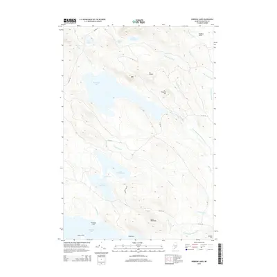
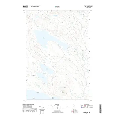
 1988 Oxbrook Lakes1988 Print · USGSMaine's forested interior in the 1980s is captured here, showcasing a landscape of interconnected waters and timbered peaks. Researchers can locate remote landmarks like The Thoroughfare, the slopes of Mount Delight, and Amazon Lake.
 - 1988 Map of Scraggly Lake
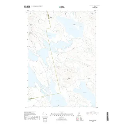
 1988 Scraggly Lake1988 Print · USGSThe Maine North Woods at the close of the 1980s reveal a complex network of waterways and timberlands. Outdoor enthusiasts and local historians can trace primitive roads and campsites near Scraggly Lake, Bear Island, and Pork Barrel Lake.
 - 1994 Map of Calais
 1994 Calais1994 Print · USGSEastern Maine's river and lake country comes into focus in the 1990s, centered on the international border at Calais and the vast Passamaquoddy Indian Reservation. Researchers can trace the water-linked settlements of Grand Lake Stream, the airfield at Princeton Airport, and the industrial heritage of Woodland.
 - 2011 Map of Scraggly Lake, 2011 Print
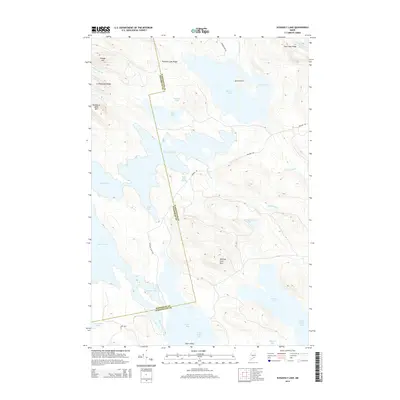
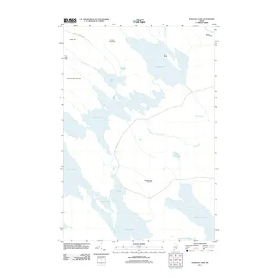 2011 Scraggly Lake2011 Print · USGSCovers Kossuth Township, including Carroll Plantation, Pukakon Township, and other nearby areas
 - 2011 Map of Oxbrook Lakes, 2011 Print
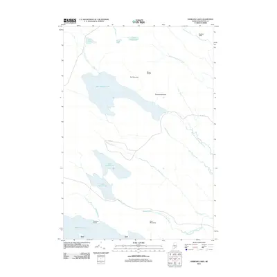 2011 Oxbrook Lakes2011 Print · USGSCovers Kossuth Township, including Topsfield, Grand Lake Stream, and other nearby areas
 - 2011 Map of Dill Hill, 2011 Print
 2011 Dill Hill2011 Print · USGSCovers Kossuth Township, including Prentiss Township, Carroll Plantation, and other nearby areas
 - 2011 Map of Farrow Mountain, 2011 Print
 2011 Farrow Mountain2011 Print · USGSCovers Kossuth Township, including Topsfield, Talmadge, and other nearby areas
 - 2014 Map of Farrow Mountain, 2014 Print
 2014 Farrow Mountain2014 Print · USGSCovers Kossuth Township, including Topsfield, Talmadge, and other nearby areas
 - 2014 Map of Oxbrook Lakes, 2014 Print
 2014 Oxbrook Lakes2014 Print · USGSCovers Kossuth Township, including Topsfield, Grand Lake Stream, and other nearby areas
 - 2014 Map of Dill Hill, 2014 Print
 2014 Dill Hill2014 Print · USGSCovers Kossuth Township, including Prentiss Township, Carroll Plantation, and other nearby areas
 - 2014 Map of Scraggly Lake, 2014 Print
 2014 Scraggly Lake2014 Print · USGSCovers Kossuth Township, including Carroll Plantation, Pukakon Township, and other nearby areas
 - 2018 Map of Farrow Mountain, 2018 Print
 2018 Farrow Mountain2018 Print · USGSCovers Kossuth Township, including Topsfield, Talmadge, and other nearby areas
 - 2018 Map of Oxbrook Lakes, 2018 Print
 2018 Oxbrook Lakes2018 Print · USGSCovers Kossuth Township, including Topsfield, Grand Lake Stream, and other nearby areas
 - 2018 Map of Dill Hill, 2018 Print
 2018 Dill Hill2018 Print · USGSCovers Kossuth Township, including Prentiss Township, Carroll Plantation, and other nearby areas
 - 2018 Map of Scraggly Lake, 2018 Print
 2018 Scraggly Lake2018 Print · USGSCovers Kossuth Township, including Carroll Plantation, Pukakon Township, and other nearby areas
Showing maps 1-25 of 33
Top cities near Kossuth Township
- Danforth historical maps
- Springfield historical maps
- Prentiss Township historical maps
- Topsfield historical maps
- Carroll Plantation historical maps
- Reed Plantation historical maps
See more
Frequently asked questions
- What are the different types of historical maps available for Kossuth Township?
- What is the oldest map of Kossuth Township?
- Where can I purchase historical maps of Kossuth Township for my home or office?
- Where can I download high-res historical maps of Kossuth Township?
- Are there historical topographic maps available for Kossuth Township?
- Is there historical aerial imagery available for Kossuth Township?
- Where are historical maps of Kossuth Township sourced from?