2000s (21st Century) Maps of Steuben, Maine
Explore 24 historic maps of Steuben from the 2000s (21st Century). These maps offer a rare glimpse into what life looked like during the 2000s — showing old roads, neighborhoods, homes, and landmarks that have changed or disappeared over time.
Whether you're researching your family's past, planning a metal detecting trip, or studying how Steuben's landscape evolved across the 2000s, these high-resolution maps are a powerful tool for exploring the history of this region.
- Focus on a specific era: All maps on this page are from the 2000s, giving you a focused view of this time period.
- See what’s changed: Compare century-old streets, trails, and buildings to today's modern landscape using overlays and satellite layers.
- Research with precision: Use these maps for genealogy, historical research, land use analysis, or educational projects.
- View, download, or print: Maps are fully viewable online in high resolution, and can be downloaded or printed for your own records.
Start exploring Steuben's history through authentic maps from the 2000s. This is your window into the past.
Steuben, ME maps
(24)- 2011 Map of Cherryfield, 2011 Print
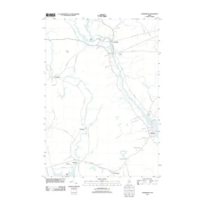 2011 Cherryfield2011 Print · USGSCoastal Maine life in the early twenty-first century is captured here as the Narraguagus River flows through the historic town centers of Cherryfield and Milbridge. Local researchers can trace family lands near Evergreen Cemetery, follow the winding Tunk Stream, or locate the Cherryfield Dam.
 - 2011 Map of Tunk Lake, 2011 Print
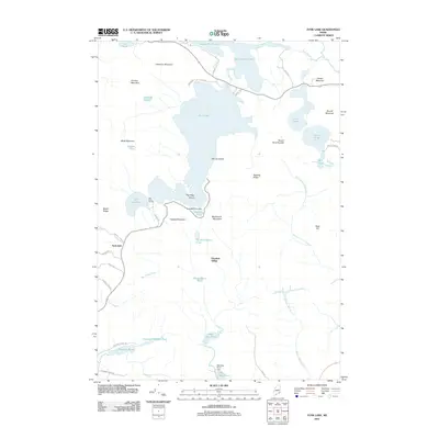 2011 Tunk Lake2011 Print · USGSGouldsboro and the interior of Hancock County are shown here in the early twenty-first century, a landscape of high peaks and freshwater lakes. Researchers can locate remote seasonal sites like Big Chief Camps and industrial remnants at Goodwin Siding or the Barbless Pond Dam.
 - 2011 Map of Bois Bubert, 2011 Print
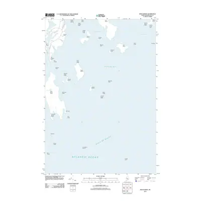 2011 Bois Bubert2011 Print · USGSCoastal Maine at the start of the 2010s is captured here through its intricate island chains and maritime hazards. Researchers can trace the rocky shorelines of Bois Bubert Island and Dyer Island or locate navigational aids like the Trafton Half-tide Beacon.
 - 2011 Map of Petit Manan Point, 2011 Print
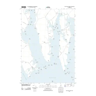 2011 Petit Manan Point2011 Print · USGSThe coastal village of Corea and its many surrounding inlets are shown here during the early twenty-first century. Genealogists and historians can trace family-named points and coves, from the Corea Cemetery to landmarks like Eagle Hill and Lobster Island.
 - 2014 Map of Tunk Lake, 2014 Print
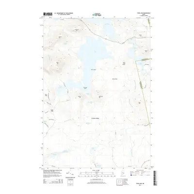 2014 Tunk Lake2014 Print · USGSCoastal Hancock County and the Washington County border appear here in the early twenty-first century, defined by a series of deep glacial lakes. Researchers can trace the drainage of Tunk Lake and locate specific sites like Goodwin Siding and Mouse Island.
 - 2014 Map of Bois Bubert, 2014 Print
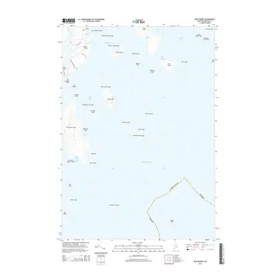 2014 Bois Bubert2014 Print · USGSThe Washington County coastline and its outer islands appear in high detail during the early twenty-first century. Researchers can trace landforms and coastal access points like Tom Leighton Point, Dyer Island, and Monhonan Cove.
 - 2014 Map of Cherryfield, 2014 Print
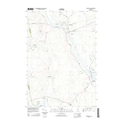 2014 Cherryfield2014 Print · USGSThe Narraguagus River valley in the early 2010s reveals a landscape of river-bend settlements and coastal drainage. Genealogists can trace property and family locations near Cherryfield, Unionville, and the historic Evergreen Cem.
 - 2014 Map of Petit Manan Point, 2014 Print
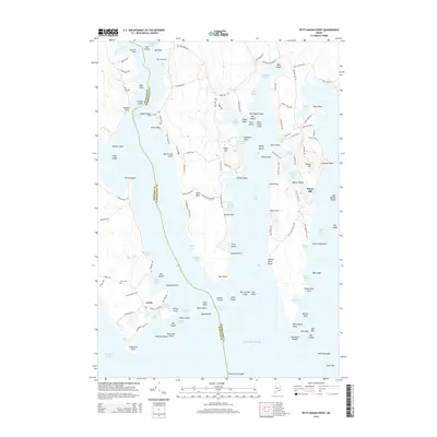 2014 Petit Manan Point2014 Print · USGSThe coastal village of Corea and the jagged peninsulas of the Maine shoreline are captured here in the early twenty-first century. Researchers can trace local history through sites like Haraden Cem, the Birch Point Trail, and the maritime industry of Corea Harbor.
 - 2014 Map of Petit Manan Point OE S, 2014 Print
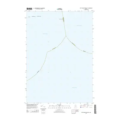 2014 Petit Manan Point OE S2014 Print · USGSThe coastal waters off Down East Maine are captured here in the early 2010s, showing the intersection of maritime boundaries and hazards. Trace the submerged landscape where Hancock County meets Washington County near Moulton Ledge and the rocks of Old Man.
 - 2018 Map of Petit Manan Point OE S, 2018 Print
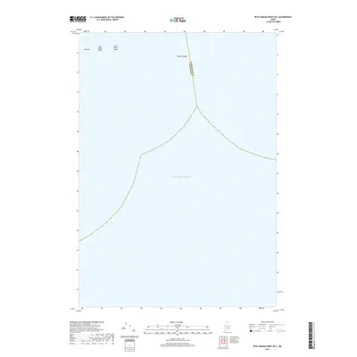 2018 Petit Manan Point OE S2018 Print · USGSOff the coast of Maine in the late 2010s, this nautical survey captures the maritime divide where the Atlantic Ocean meets the rocky ledges of the Down East coast. Coastal historians can locate specific seafloor landmarks like Old Man, Moulton Ledge, and Big Black Ledge.
 - 2018 Map of Tunk Lake, 2018 Print
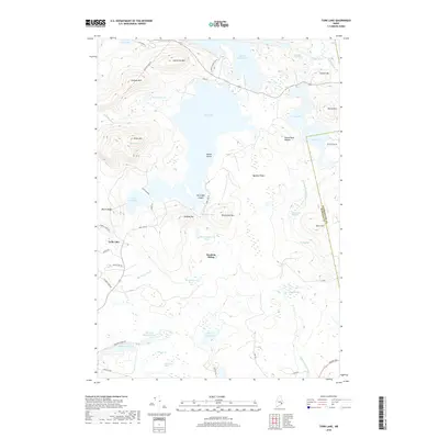 2018 Tunk Lake2018 Print · USGSGouldsboro and the Hancock County interior are shown here in the late 2010s, a landscape defined by glacial lakes and prominent granite ridges. Researchers can trace historical access points like Goodwin Siding or explore the rugged shorelines of Tunk Lake and Spring River Lake.
 - 2018 Map of Cherryfield, 2018 Print
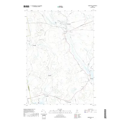 2018 Cherryfield2018 Print · USGSCoastal Maine's river-driven geography is on full display in this study of the Narraguagus valley during the late 2010s. Trace local history through the streets of Cherryfield, the harbor at Steuben, and the burial grounds at Evergreen Cem.
 - 2018 Map of Bois Bubert, 2018 Print
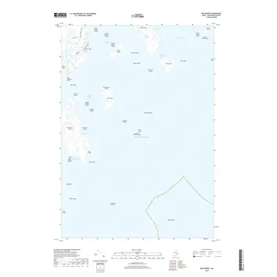 2018 Bois Bubert2018 Print · USGSThe Maine coast near Milbridge is shown here in the late twenty-teens as a complex network of granite islands and tidal ledges. Researchers can trace maritime heritage through landmarks like Bois Bubert Island, Dyer Island, and Tom Leighton Point.
 - 2018 Map of Petit Manan Point, 2018 Print
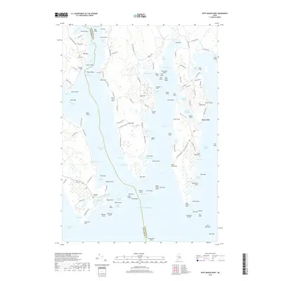 2018 Petit Manan Point2018 Print · USGSCoastal Maine at the turn of the 21st century comes into focus through this survey of the Gouldsboro Peninsula and its surrounding bays. Researchers can trace the layout of the fishing village of Corea and find local resting places like Haraden Cem and Corea Cem.
 - 2021 Map of Cherryfield, 2021 Print
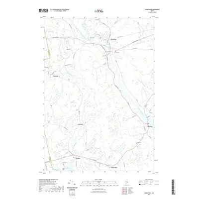 2021 Cherryfield2021 Print · USGSCoastal Washington County comes into focus in this contemporary survey of the river valleys and bays of Maine's Downeast region. Genealogists and historians can trace family locations through Cherryfield, Steuben, and Milbridge, alongside local landmarks like Evergreen Cem and Burke Hill.
 - 2021 Map of Petit Manan Point, 2021 Print
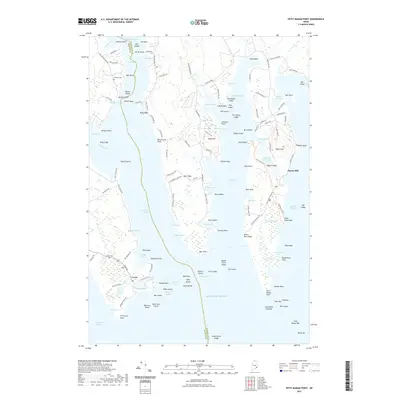 2021 Petit Manan Point2021 Print · USGSCoastal Gouldsboro and the village of Corea are detailed here in the early twenty-first century as part of a maritime landscape of harbors and rocky points. Researchers can trace family history at Corea Cem or explore the geography of Pigeon Hill, Gouldsboro Bay, and Lobster Island.
 - 2021 Map of Bois Bubert, 2021 Print
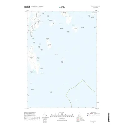 2021 Bois Bubert2021 Print · USGSCoastal Washington County is a labyrinth of granite islands and tidal bays as seen in this modern-era survey. Maritime historians and researchers can locate remote landmarks such as Bois Bubert Island, Jordans Delight, and the lighthouse vicinity of Dyer Island.
 - 2021 Map of Tunk Lake, 2021 Print
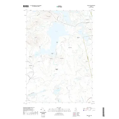 2021 Tunk Lake2021 Print · USGSCoastal Maine's interior pond and mountain country is shown here in the early twenty-first century, spanning the border of Hancock and Washington counties. Genealogists and hikers can trace local landmarks like Goodwin Siding or explore the terrain around Catherine Mtn and Tunk Lake.
 - 2021 Map of Petit Manan Point OE S, 2021 Print
 2021 Petit Manan Point OE S2021 Print · USGSCoastal Maine's maritime boundary comes alive in this contemporary survey of the open sea. Trace the aquatic divide between Hancock Co and Washington Co while identifying local navigation hazards like Old Man and Moulton Ledge.
 - 2024 Map of Cherryfield, 2024 Print
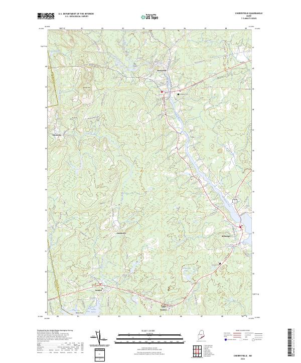 2024 Cherryfield2024 Print · USGSCoastal Washington County comes into focus in this contemporary survey of the river valleys and harbors. Researchers can trace local lineage at Evergreen Cem or map the inland settlements of Unionville and Smithville along the Narraguagus River.
 - 2024 Map of Bois Bubert, 2024 Print
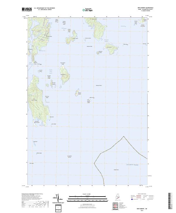 2024 Bois Bubert2024 Print · USGSCoastal Washington County is presented in its modern maritime configuration, where the Petit Manan National Wildlife Refuge spans a rugged chain of islands. Trace local family names and landmarks from Tom Leighton Point to the sheltered waters of Little Bois Bubert Harbor.
 - 2024 Map of Petit Manan Point, 2024 Print
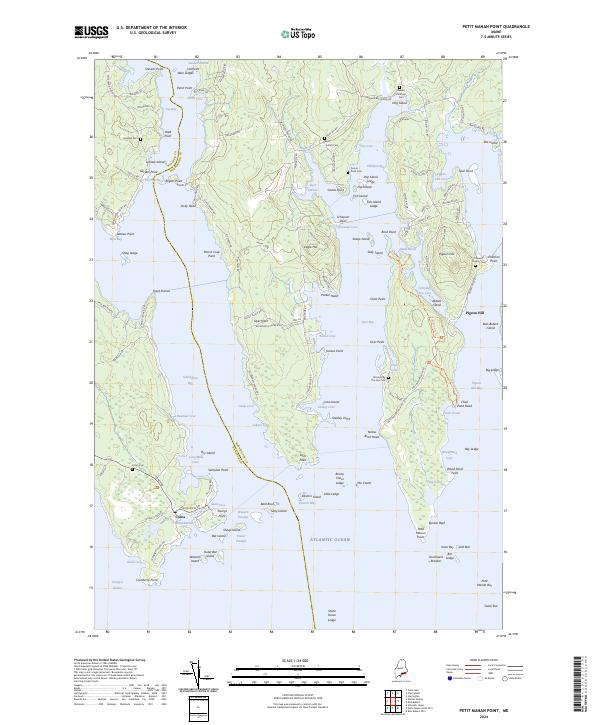 2024 Petit Manan Point2024 Print · USGSThe jagged coastline of Washington and Hancock Counties comes alive in this contemporary record of maritime Maine. Genealogists can trace family heritage through numerous small burial sites like Colewell-Huckins Cem and Point Cem near the village of Corea.
 - 2024 Map of Petit Manan Point OE S, 2024 Print
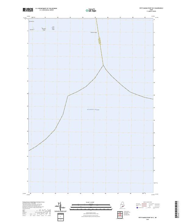 2024 Petit Manan Point OE S2024 Print · USGSOff the coast of Maine, this maritime survey captures the nautical boundary between Hancock and Washington counties as it appeared in recent years. Researchers can trace the location of critical hazards and landmarks like Moulton Ledge, Old Woman, and Big Black Ledge.
 - 2024 Map of Tunk Lake, 2024 Print
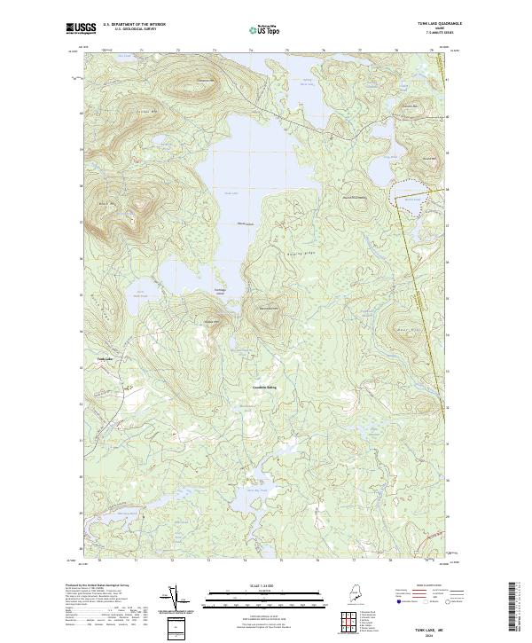 2024 Tunk Lake2024 Print · USGSHancock County's rugged interior is captured here in the 2020s, showing a wilderness defined by massive granite peaks and deep glacial lakes. Researchers can trace the layout of Goodwin Siding, family-named roads like Emerson Preble Rd, and the remote heights of Blackwood Mtn.
End of results
Showing maps 1-24 of 24
Top cities near Steuben
- Bar Harbor historical maps
- Mount Desert historical maps
- Gouldsboro historical maps
- Franklin historical maps
- Milbridge historical maps
- Sullivan historical maps
See more
Top neighborhoods of Steuben
- Pigeon Hill historical maps
- East Steuben historical maps
- Smithville historical maps
- Unionville historical maps
Frequently asked questions
- What are the different types of historical maps available for Steuben?
- What is the oldest map of Steuben?
- Where can I purchase historical maps of Steuben for my home or office?
- Where can I download high-res historical maps of Steuben?
- Are there historical topographic maps available for Steuben?
- Is there historical aerial imagery available for Steuben?
- Where are historical maps of Steuben sourced from?