2000s (21st Century) Maps of T19 ED BPP, Maine
Explore 20 historic maps of T19 ED BPP from the 2000s (21st Century). These maps offer a rare glimpse into what life looked like during the 2000s — showing old roads, neighborhoods, homes, and landmarks that have changed or disappeared over time.
Whether you're researching your family's past, planning a metal detecting trip, or studying how T19 ED BPP's landscape evolved across the 2000s, these high-resolution maps are a powerful tool for exploring the history of this region.
- Focus on a specific era: All maps on this page are from the 2000s, giving you a focused view of this time period.
- See what’s changed: Compare century-old streets, trails, and buildings to today's modern landscape using overlays and satellite layers.
- Research with precision: Use these maps for genealogy, historical research, land use analysis, or educational projects.
- View, download, or print: Maps are fully viewable online in high resolution, and can be downloaded or printed for your own records.
Start exploring T19 ED BPP's history through authentic maps from the 2000s. This is your window into the past.
T19 ED BPP, ME maps
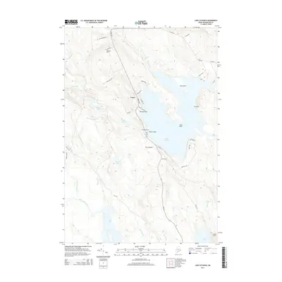
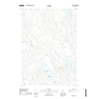
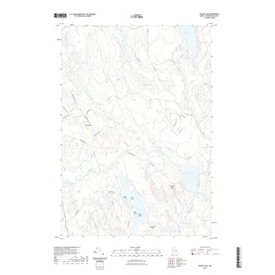
(20)- 2011 Map of Crawford Lake, 2011 Print
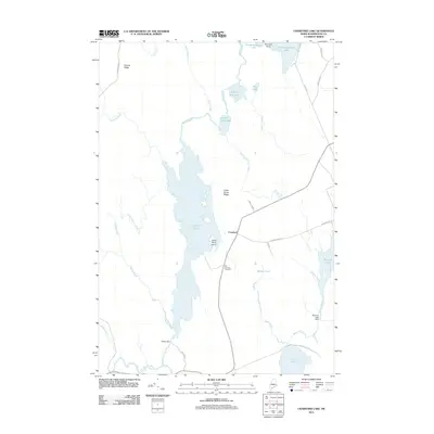 2011 Crawford Lake2011 Print · USGSCovers T19 ED BPP, including Princeton, Alexander, and other nearby areas
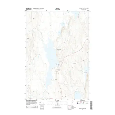
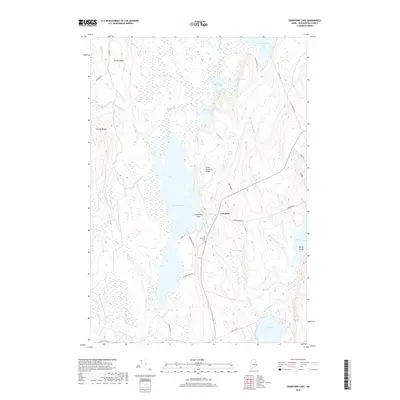
 - 2011 Map of Meddybemps Lake West, 2011 Print
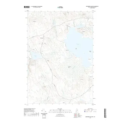
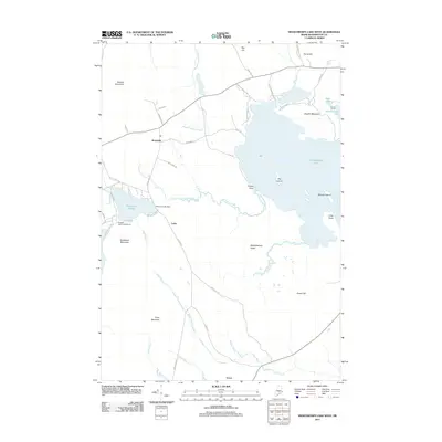 2011 Meddybemps Lake West2011 Print · USGSCovers T19 ED BPP, including Baileyville, Alexander, and other nearby areas
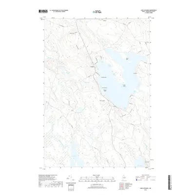
 - 2011 Map of Lake Cathance, 2011 Print
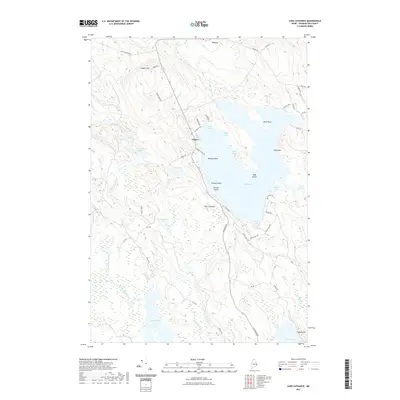
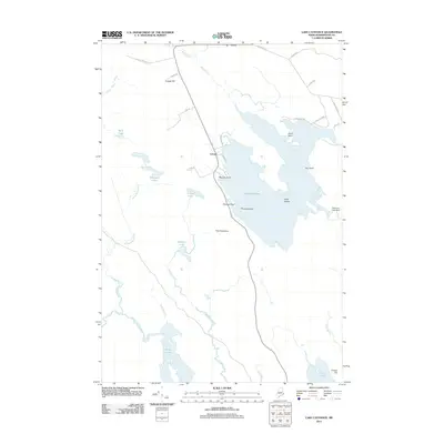 2011 Lake Cathance2011 Print · USGSCovers T19 ED BPP, including Cooper, Meddybemps, and other nearby areas
 - 2011 Map of Round Lake, 2011 Print
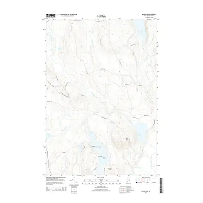
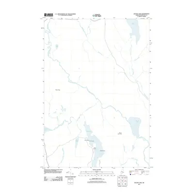 2011 Round Lake2011 Print · USGSCovers T19 ED BPP, including Northfield, Wesley, and other nearby areas
 - 2014 Map of Lake Cathance, 2014 Print
 2014 Lake Cathance2014 Print · USGSCovers T19 ED BPP, including Cooper, Meddybemps, and other nearby areas
 - 2014 Map of Crawford Lake, 2014 Print
 2014 Crawford Lake2014 Print · USGSCovers T19 ED BPP, including Princeton, Alexander, and other nearby areas
 - 2014 Map of Meddybemps Lake West, 2014 Print
 2014 Meddybemps Lake West2014 Print · USGSCovers T19 ED BPP, including Baileyville, Alexander, and other nearby areas
 - 2014 Map of Round Lake, 2014 Print
 2014 Round Lake2014 Print · USGSCovers T19 ED BPP, including Northfield, Wesley, and other nearby areas
 - 2018 Map of Round Lake, 2018 Print
 2018 Round Lake2018 Print · USGSCovers T19 ED BPP, including Northfield, Wesley, and other nearby areas
 - 2018 Map of Crawford Lake, 2018 Print
 2018 Crawford Lake2018 Print · USGSCovers T19 ED BPP, including Princeton, Alexander, and other nearby areas
 - 2018 Map of Lake Cathance, 2018 Print
 2018 Lake Cathance2018 Print · USGSCovers T19 ED BPP, including Cooper, Meddybemps, and other nearby areas
 - 2018 Map of Meddybemps Lake West, 2018 Print
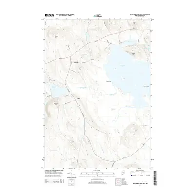
 2018 Meddybemps Lake West2018 Print · USGSCovers T19 ED BPP, including Baileyville, Alexander, and other nearby areas
 - 2021 Map of Round Lake, 2021 Print
 2021 Round Lake2021 Print · USGSCovers T19 ED BPP, including Northfield, Wesley, and other nearby areas
 - 2021 Map of Lake Cathance, 2021 Print
 2021 Lake Cathance2021 Print · USGSCovers T19 ED BPP, including Cooper, Meddybemps, and other nearby areas
 - 2021 Map of Meddybemps Lake West, 2021 Print
 2021 Meddybemps Lake West2021 Print · USGSCovers T19 ED BPP, including Baileyville, Alexander, and other nearby areas
 - 2021 Map of Crawford Lake, 2021 Print
 2021 Crawford Lake2021 Print · USGSCovers T19 ED BPP, including Princeton, Alexander, and other nearby areas
 - 2024 Map of Crawford Lake, 2024 Print
 2024 Crawford Lake2024 Print · USGSMaine's lake country in Washington County remains a landscape of connected waters and quiet settlements in the 2020s. Researchers can trace historic family ties at the Old Crawford Cem or locate seasonal camps along Pocomoonshine Lake and Love Lake.
 - 2024 Map of Round Lake, 2024 Print
 2024 Round Lake2024 Print · USGSWashington County’s interior river systems and timberlands are documented in this contemporary survey of the East Machias drainage. Researchers can trace land use patterns across Talbot Ridge or locate family-named features like Jog Hanscom Heath and Seavey Lake.
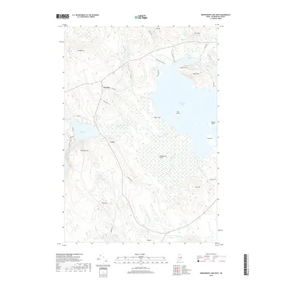
 - 2024 Map of Meddybemps Lake West, 2024 Print
 2024 Meddybemps Lake West2024 Print · USGSWashington County in the modern era maintains its deep connection to the woods and water of the Maine interior. Researchers can locate family landmarks near Alexander Cem, trace the rural settlements of Alexander and Grove, or explore the shoreline of Meddybemps Lake.
 - 2024 Map of Lake Cathance, 2024 Print
 2024 Lake Cathance2024 Print · USGSCoastal Washington County is captured here in the mid-2020s, showing a landscape defined by glacial lakes and small settlements. Researchers can trace local landmarks like The Commons, the rural community of Cooper, and remote waters such as Munson Lake.
End of results
Showing maps 1-20 of 20
Top cities near T19 ED BPP
- Calais historical maps
- Machias historical maps
- East Machias historical maps
- Baileyville historical maps
- Princeton historical maps
- Marshfield historical maps
See more
Frequently asked questions
- What are the different types of historical maps available for T19 ED BPP?
- What is the oldest map of T19 ED BPP?
- Where can I purchase historical maps of T19 ED BPP for my home or office?
- Where can I download high-res historical maps of T19 ED BPP?
- Are there historical topographic maps available for T19 ED BPP?
- Is there historical aerial imagery available for T19 ED BPP?
- Where are historical maps of T19 ED BPP sourced from?