2000s (21st Century) Maps of Kittery Point, Kittery
Explore 19 historic maps of Kittery Point from the 2000s (21st Century). These maps offer a rare glimpse into what life looked like during the 2000s — showing old roads, neighborhoods, homes, and landmarks that have changed or disappeared over time.
Whether you're researching your family's past, planning a metal detecting trip, or studying how Kittery Point's landscape evolved across the 2000s, these high-resolution maps are a powerful tool for exploring the history of this region.
- Focus on a specific era: All maps on this page are from the 2000s, giving you a focused view of this time period.
- See what’s changed: Compare century-old streets, trails, and buildings to today's modern landscape using overlays and satellite layers.
- Research with precision: Use these maps for genealogy, historical research, land use analysis, or educational projects.
- View, download, or print: Maps are fully viewable online in high resolution, and can be downloaded or printed for your own records.
Start exploring Kittery Point's history through authentic maps from the 2000s. This is your window into the past.
Kittery Point, Kittery maps
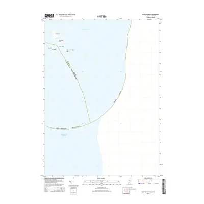
(19)- 2011 Map of Kittery, 2011 Print
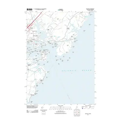 2011 Kittery2011 Print · USGSCovers Kittery Point, including Portsmouth, York, and other nearby areas
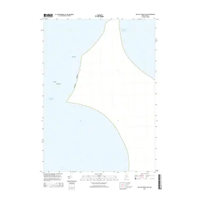
 - 2011 Map of Isles of Shoals, 2011 Print
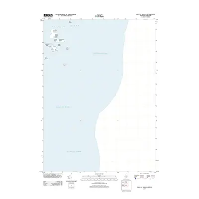 2011 Isles of Shoals2011 Print · USGSCovers Kittery Point, including Kittery, Rye, and other nearby areas
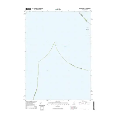
 - 2012 Map of Isles of Shoals OE W, 2012 Print
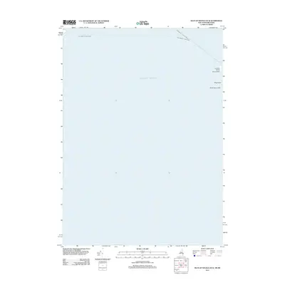 2012 Isles of Shoals OE W2012 Print · USGSCovers Kittery Point, including Hampton, Kittery, and other nearby areas
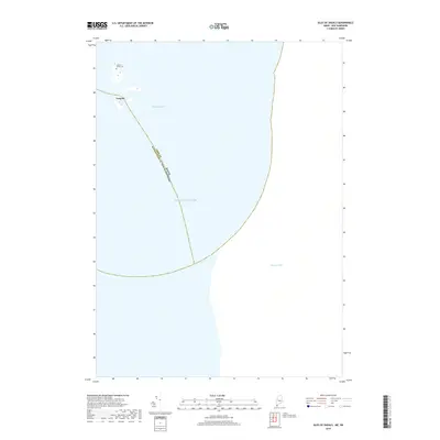
 - 2014 Map of Kittery, 2014 Print
 2014 Kittery2014 Print · USGSCovers Kittery Point, including Portsmouth, York, and other nearby areas
 - 2014 Map of Isles of Shoals, 2014 Print
 2014 Isles of Shoals2014 Print · USGSCovers Kittery Point, including Kittery, Rye, and other nearby areas
 - 2014 Map of Isles of Shoals OE N, 2014 Print
 2014 Isles of Shoals OE N2014 Print · USGSCovers Kittery Point, including York, Kittery, and other nearby areas
 - 2015 Map of Isles of Shoals OE W, 2015 Print
 2015 Isles of Shoals OE W2015 Print · USGSCovers Kittery Point, including Hampton, Kittery, and other nearby areas
 - 2018 Map of Isles of Shoals, 2018 Print
 2018 Isles of Shoals2018 Print · USGSCovers Kittery Point, including Kittery, Rye, and other nearby areas
 - 2018 Map of Isles of Shoals OE W, 2018 Print
 2018 Isles of Shoals OE W2018 Print · USGSCovers Kittery Point, including Hampton, Kittery, and other nearby areas
 - 2018 Map of Isles of Shoals OE N, 2018 Print
 2018 Isles of Shoals OE N2018 Print · USGSCovers Kittery Point, including York, Kittery, and other nearby areas
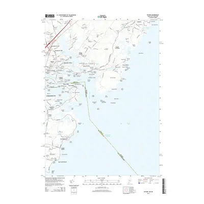
 - 2018 Map of Kittery, 2018 Print
 2018 Kittery2018 Print · USGSCovers Kittery Point, including Portsmouth, York, and other nearby areas
 - 2021 Map of Isles of Shoals, 2021 Print
 2021 Isles of Shoals2021 Print · USGSCovers Kittery Point, including Kittery, Rye, and other nearby areas
 - 2021 Map of Isles of Shoals OE N, 2021 Print
 2021 Isles of Shoals OE N2021 Print · USGSCovers Kittery Point, including York, Kittery, and other nearby areas
 - 2021 Map of Kittery, 2021 Print
 2021 Kittery2021 Print · USGSCovers Kittery Point, including Portsmouth, York, and other nearby areas
 - 2021 Map of Isles of Shoals OE W, 2021 Print
 2021 Isles of Shoals OE W2021 Print · USGSCovers Kittery Point, including Hampton, Kittery, and other nearby areas
 - 2024 Map of Isles of Shoals OE N, 2024 Print
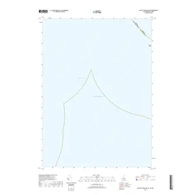
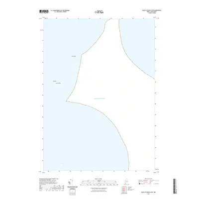
 2024 Isles of Shoals OE N2024 Print · USGSCoastal York County and the open waters of the Atlantic are documented in this recent survey of the region's hazardous maritime features. Trace the protected islands of the Petit Manan National Wildlife Refuge, including Duck Island, York Ledge, and Murray Rock.
 - 2024 Map of Isles of Shoals OE W, 2024 Print
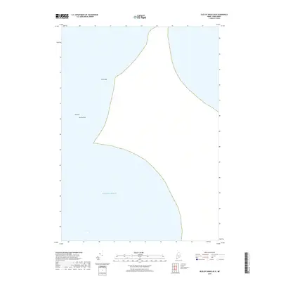
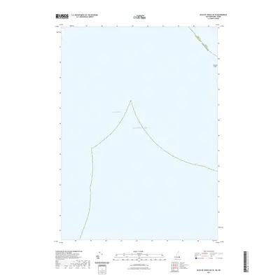
 2024 Isles of Shoals OE W2024 Print · USGSThe southern Isles of Shoals are captured here at the maritime border of Maine and New Hampshire in the early 2020s. Researchers and genealogists can trace the isolated terrain of Lunging Island, White Island, and the waters of Bigelow Bight.
 - 2024 Map of Isles of Shoals, 2024 Print
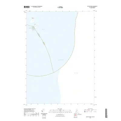
 2024 Isles of Shoals2024 Print · USGSThe Isles of Shoals are captured here at the maritime border of Maine and New Hampshire in this recent survey. Genealogists and historians can locate specific family burial sites like Laighton Thaxter Cem and the settlement at Gosport.
 - 2024 Map of Kittery, 2024 Print
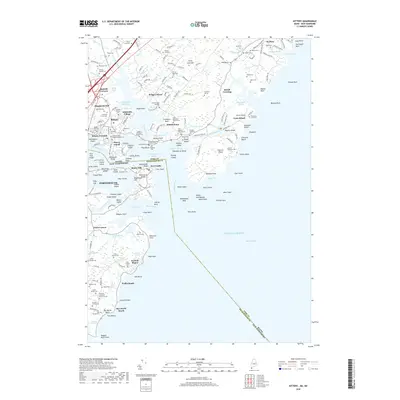
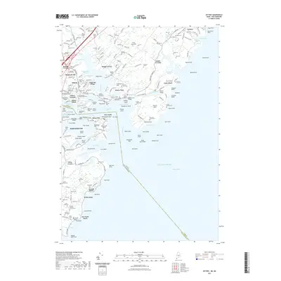
 2024 Kittery2024 Print · USGSCoastal Maine and New Hampshire meet here at the mouth of the Piscataqua during the mid-2020s. Genealogists can locate dozens of private burial sites like the Brackett Massacre Burial Ground and family plots near Kittery Foreside and Seavey Island.
End of results
Showing maps 1-19 of 19
Frequently asked questions
- What are the different types of historical maps available for Kittery Point?
- What is the oldest map of Kittery Point?
- Where can I purchase historical maps of Kittery Point for my home or office?
- Where can I download high-res historical maps of Kittery Point?
- Are there historical topographic maps available for Kittery Point?
- Is there historical aerial imagery available for Kittery Point?
- Where are historical maps of Kittery Point sourced from?