
2024 Map of Isles of Shoals OE W
USGS Topo · Published 2024About this map
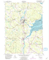
Atlantic Ocean waters dominate this maritime survey, which captures the remote southern reaches of the Isles of Shoals at the maritime border of New Hampshire and Maine. The map focuses on the small, rocky outcrops of Lunging Island and White Island, the latter of which sits adjacent to the treacherous White Island Ledge. This area is characterized by its isolation and the significant navigational hazards posed by the underwater topography of Bigelow Bight. The boundary between Rockingham County, New Hampshire, and York County, Maine, cuts across the open water, illustrating the historical division of these offshore territories. This document provides a clear look at the sparse but vital outposts that have guided sailors along the coast for generations.
Find a feature on this map
7 named features on this map. Tap any name to fly to it.
Don’t see what you’re looking for? This feature index may not catch every label — zoom into the map to look around manually.
Map Details
Editions of this 2024 Isles of Shoals OE W Map
This is the sole edition of this map. No revisions or reprints were ever made.
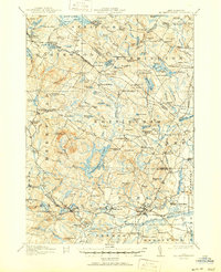
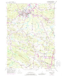
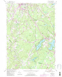
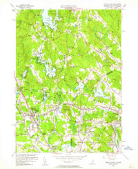
Historical Maps of Kittery Point Through Time
47 maps found

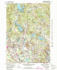
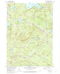
1917 Mt. Pawtuckaway
Rockingham County, NH
1919 Mt. Pawtuckaway
Rockingham County, NH

1932 Exeter
Rockingham County, NH

1934 Exeter
Rockingham County, NH

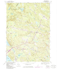
1935 Hampstead
Rockingham County, NH

1939 Mt. Pawtuckaway
Rockingham County, NH

1943 Ayers Village
Rockingham County, NH

1944 Hampton
Rockingham County, NH

1944 Mt. Pawtuckaway
Rockingham County, NH
1950 Exeter
Rockingham County, NH

1952 Ayers Village
Rockingham County, NH
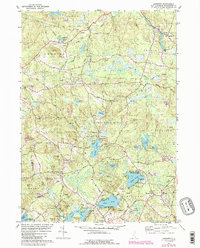
1953 Windham
Rockingham County, NH
1955 Ayers Village
Rockingham County, NH
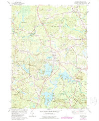
1956 Newmarket
Rockingham County, NH
1957 Hampton
Rockingham County, NH
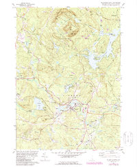
1957 Mt. Pawtuckaway
Rockingham County, NH
1968 Derry
Rockingham County, NH
1968 Salem Depot
Rockingham County, NH
1969 Candia
Rockingham County, NH

1977 Derry
Rockingham County, NH

1977 Exeter
Rockingham County, NH

1977 Hampton
Rockingham County, NH

1977 Salem Depot
Rockingham County, NH

1977 Windham
Rockingham County, NH

1981 Epping
Rockingham County, NH
1981 Kingston
Rockingham County, NH
1981 Mt. Pawtuckaway
Rockingham County, NH
1981 Northwood
Rockingham County, NH
1981 Sandown
Rockingham County, NH

1985 Exeter
Rockingham County, NH

1987 Exeter
Rockingham County, NH

1992 Exeter
Rockingham County, NH

1995 Epping
Rockingham County, NH

1995 Northwood
Rockingham County, NH

2024 Candia
Rockingham County, NH

2024 Derry
Rockingham County, NH

2024 Epping
Rockingham County, NH

2024 Exeter
Rockingham County, NH

2024 Hampton
Rockingham County, NH
2024 Isles of Shoals OE W
Rockingham County, NH

2024 Kingston
Rockingham County, NH
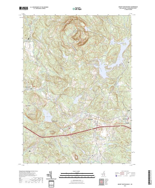
2024 Mount Pawtuckaway
Rockingham County, NH

2024 Newmarket
Rockingham County, NH

2024 Northwood
Rockingham County, NH

2024 Salem Depot
Rockingham County, NH

2024 Sandown
Rockingham County, NH
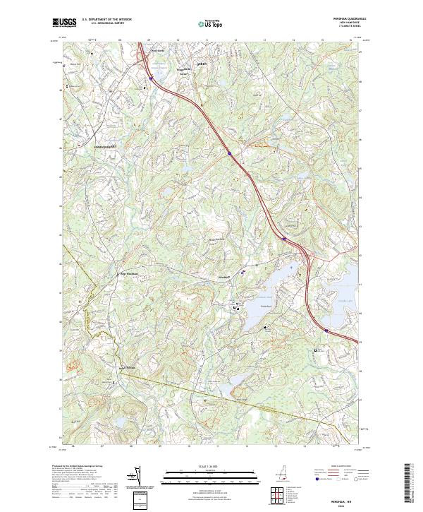
2024 Windham
Rockingham County, NH