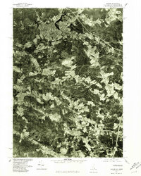
1977 Map of Exeter
USGS Topo · Published 1981About this map
The town of Exeter serves as the focal point of this orthophotomap, showing the developed street grid and residential density as it existed in the late 1970s. Produced from an aerial photograph taken in 1977, the sheet offers a clear visual contrast between the urban core of Exeter and the surrounding agricultural and forested lands of Rockingham County. The course of the Exeter River winds through the heart of the settlement, leading south toward a network of smaller streams and rural junctions. Notable rural nodes such as Parkman Corner and Dows Corner anchor the northern landscape, while South Hampton sits near the southern edge. The imagery highlights the drainage patterns of the Taylor River and Hampton Falls River, revealing the land-use transitions from dense woodland to cleared fields and suburban expansion typical of this New Hampshire region during the era.
Find a feature on this map
9 named features on this map. Tap any name to fly to it.
Don’t see what you’re looking for? This feature index may not catch every label — zoom into the map to look around manually.
Map Details
Editions of this 1977 Exeter Map
This is the sole edition of this map. No revisions or reprints were ever made.
Other maps of this area

1888 · Newburyport
USGS Topo · 1:62,500

1888 · Haverhill
USGS Topo · 1:62,500

1890 · Haverhill
USGS Topo · 1:62,500

1890 · Newburyport
USGS Topo · 1:62,500

1893 · Dover
USGS Topo · 1:62,500

1893 · Haverhill
USGS Topo · 1:62,500

1894 · Newburyport
USGS Topo · 1:62,500

1916 · Dover
USGS Topo · 1:62,500

1917 · Mt. Pawtuckaway
USGS Topo · 1:62,500

1918 · Dover
USGS Topo · 1:62,500