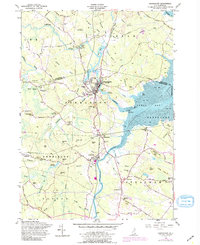
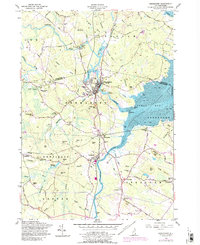
1956 Map of Newmarket
USGS Topo · Published 1989About this map
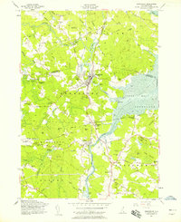
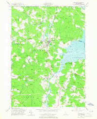
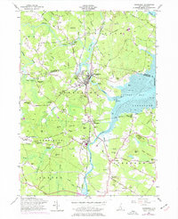
The Squamscott River and Lamprey River converge at the western tip of Great Bay, defining the industrial and tidal character of this New Hampshire coastal region. The town of Newmarket stands as a central hub where the Lamprey's falls historically powered local industry, while the Boston and Maine Railroad provides the critical transit link between Newfields, Stratham, and points north. The map reveals a landscape of family-named hills and vital water resources, including the Piscassic Ice Pond, which served local needs before the widespread adoption of refrigeration.
Find a feature on this map
92 named features on this map. Tap any name to fly to it.
Don’t see what you’re looking for? This feature index may not catch every label — zoom into the map to look around manually.
Map Details
Editions of this 1956 Newmarket Map
5 editions found
Other maps of this area

1888 · Newburyport
USGS Topo · 1:62,500

1888 · Haverhill
USGS Topo · 1:62,500

1890 · Haverhill
USGS Topo · 1:62,500

1890 · Newburyport
USGS Topo · 1:62,500

1893 · Dover
USGS Topo · 1:62,500

1893 · Haverhill
USGS Topo · 1:62,500

1894 · Newburyport
USGS Topo · 1:62,500

1916 · Dover
USGS Topo · 1:62,500

1917 · Mt. Pawtuckaway
USGS Topo · 1:62,500

1918 · Dover
USGS Topo · 1:62,500