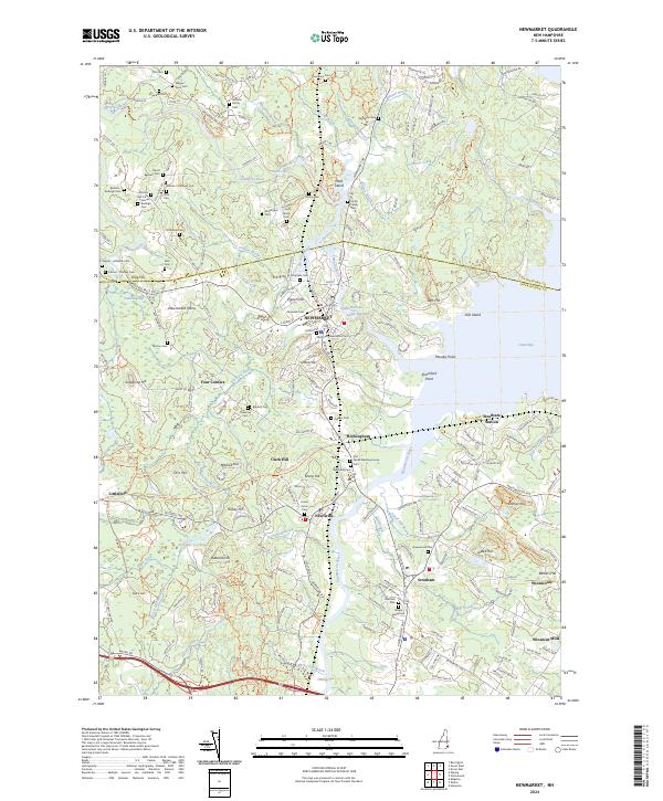
2024 Map of Newmarket
USGS Topo · Published 2024About this map
Newmarket and Newfields anchor this landscape where the Squamscott River meets the western edge of Great Bay. The map reveals a dense concentration of small family burial grounds and early municipal plots, such as the Cheswell Cem and the Glidden - Mathews Cem, which speak to the deep ancestral roots of the Seacoast region. The transition from industrial rail to modern recreation is evident along the Rockingham Rec. Rail Trl, which follows the old corridor through Rockingham and past the Piscassic Ice Pond. Near the coast, landmarks like Moodys Point and Shackford Point define the tidal geography, while further inland, the Lamprey Wild and Scenic River winds through the Newmarket Plains, illustrating the protected natural character of the Lamprey watershed alongside historic settlements like Winnicut Mills.
Find a feature on this map
222 named features on this map. Tap any name to fly to it.
Don’t see what you’re looking for? This feature index may not catch every label — zoom into the map to look around manually.
Map Details
Editions of this 2024 Newmarket Map
This is the sole edition of this map. No revisions or reprints were ever made.
Other maps of this area

1888 · Newburyport
USGS Topo · 1:62,500

1888 · Haverhill
USGS Topo · 1:62,500

1890 · Haverhill
USGS Topo · 1:62,500

1890 · Newburyport
USGS Topo · 1:62,500

1893 · Dover
USGS Topo · 1:62,500

1893 · Haverhill
USGS Topo · 1:62,500

1894 · Newburyport
USGS Topo · 1:62,500

1916 · Dover
USGS Topo · 1:62,500

1917 · Mt. Pawtuckaway
USGS Topo · 1:62,500

1918 · Dover
USGS Topo · 1:62,500