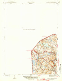
1943 Map of Ayers Village
USGS Topo · Published 1943About this map
The boundary between New Hampshire and Massachusetts bisects this wartime survey, showing the interconnected rural communities of Haverhill and Methuen. The landscape is defined by the winding Merrimack River in the southeast and the smaller Spicket River and Meadow Brook drainage systems that supported local development. Small, distinct neighborhoods such as Ayers Village and Grosvenor Corner appear as clusters of homes and schools, including the Broadway Sch and Lowell Ave Sch, illustrating the 1940s transition from strictly agricultural land to a more residential suburban pattern.
Find a feature on this map
33 named features on this map. Tap any name to fly to it.
Don’t see what you’re looking for? This feature index may not catch every label — zoom into the map to look around manually.
Map Details
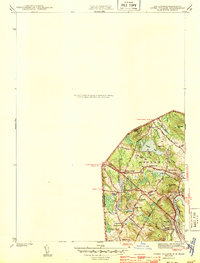
Editions of this 1943 Ayers Village Map
2 editions found
Other maps of this area

1886 · Lawrence
USGS Topo · 1:62,500

1886 · Lowell
USGS Topo · 1:62,500

1888 · Haverhill
USGS Topo · 1:62,500

1888 · Lawrence
USGS Topo · 1:62,500

1890 · Haverhill
USGS Topo · 1:62,500

1893 · Lowell
USGS Topo · 1:62,500

1893 · Lawrence
USGS Topo · 1:62,500

1893 · Haverhill
USGS Topo · 1:62,500

1905 · Manchester
USGS Topo · 1:62,500

1918 · Lowell
USGS Topo · 1:62,500