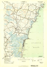
1944 Map of Hampton
USGS Topo · Published 1950About this map
The Atlantic coast of New Hampshire is defined here by its tidal inlets and burgeoning mid-century resorts. The Boston and Maine Railroad runs parallel to Lafayette Road, connecting the inland village centers of North Hampton Center and Hampton to the seasonal commerce at the shoreline. Along the coast, the density of development at Hampton Beach contrasts with the prominent headlands of Great Boars Head and Little Boars Head.
Find a feature on this map
105 named features on this map. Tap any name to fly to it.
Don’t see what you’re looking for? This feature index may not catch every label — zoom into the map to look around manually.
Map Details
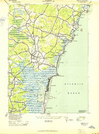
Editions of this 1944 Hampton Map
2 editions found
Other maps of this area

1888 · Newburyport
USGS Topo · 1:62,500

1890 · Newburyport
USGS Topo · 1:62,500

1893 · Dover
USGS Topo · 1:62,500

1893 · York
USGS Topo · 1:62,500

1894 · Newburyport
USGS Topo · 1:62,500

1916 · Dover
USGS Topo · 1:62,500

1918 · Dover
USGS Topo · 1:62,500

1920 · York
USGS Topo · 1:62,500

1932 · Newburyport
USGS Topo · 1:48,000

1934 · Exeter
USGS Topo · 1:62,500